fonctions:integration:digitalisation:modes:arcgispro
Gestionnaire Multimédia
Catégories
Choisissez une catégorie
Sélection de fichiers
- Sélection de fichiers
- Envoyer
- Rechercher
Fichiers dans opensource2009

- ajouter_dans_l_apercu.jpg
- 36×42
- //23/02/2011 19:42//
- 974 B

- avant_apres_filtrage.png
- 765×239
- //23/02/2011 19:42//
- 159.5 KB

- barre_visualisation.jpg
- 309×41
- //23/02/2011 19:42//
- 4.2 KB
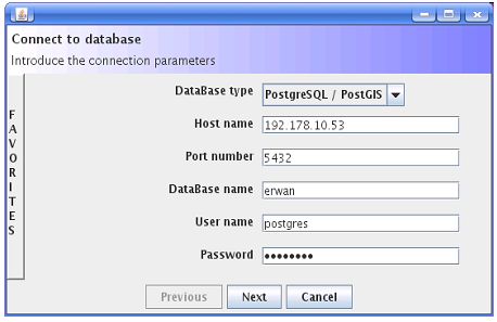
- connection_bdd1.png
- 458×297
- //23/02/2011 19:42//
- 35.9 KB
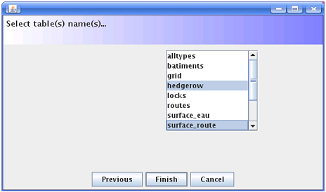
- connection_bdd2.png
- 464×274
- //23/02/2011 19:42//
- 23.9 KB
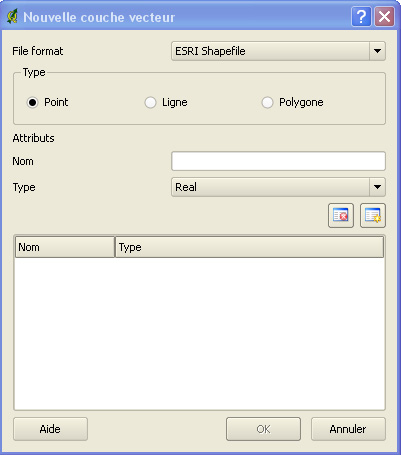
- couche.jpg
- 401×455
- //23/02/2011 19:42//
- 58.5 KB

- digit.jpg
- 583×124
- //23/02/2011 19:42//
- 77 KB

- donnee1.jpg
- 669×143
- //23/02/2011 19:42//
- 81.6 KB
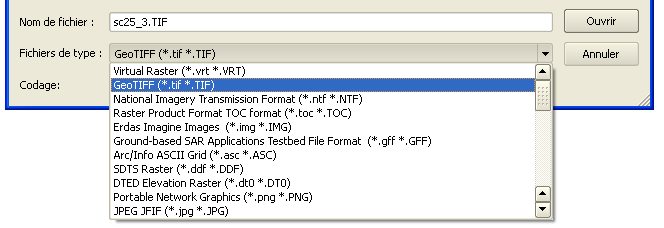
- donnee2.jpg
- 664×228
- //23/02/2011 19:42//
- 107.4 KB

- echelle.jpg
- 446×104
- //23/02/2011 19:42//
- 24.7 KB
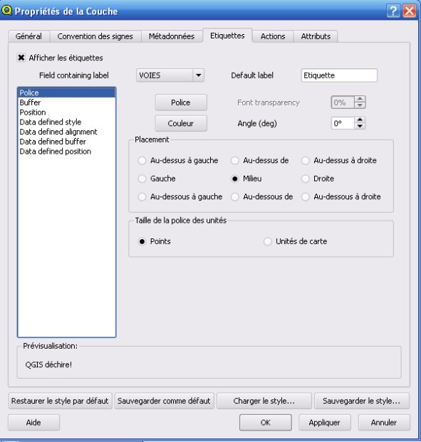
- etiquettes.jpg
- 591×621
- //23/02/2011 19:42//
- 49.2 KB

- export.jpg
- 39×36
- //23/02/2011 19:42//
- 858 B

- exportsvg.jpg
- 35×37
- //23/02/2011 19:42//
- 834 B
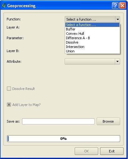
- geoprocessing.jpg
- 408×507
- //23/02/2011 19:42//
- 27 KB
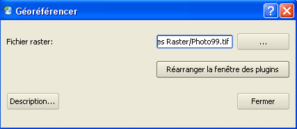
- georef1.jpg
- 427×186
- //23/02/2011 19:42//
- 52 KB
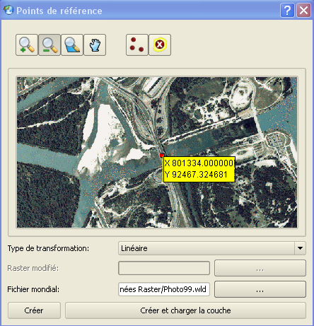
- georef2.jpg
- 444×461
- //23/02/2011 19:42//
- 271.3 KB
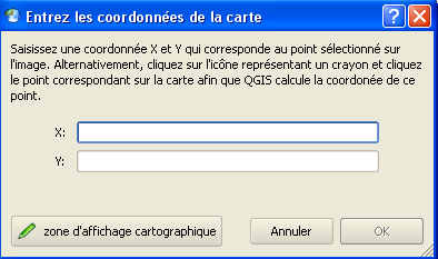
- georef3.jpg
- 394×233
- //23/02/2011 19:42//
- 91.3 KB
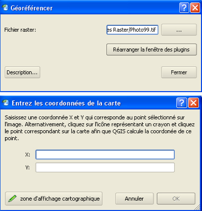
- georef4.jpg
- 408×426
- //23/02/2011 19:42//
- 137.9 KB
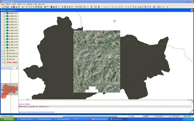
- gvsig_2_.jpg
- 400×250
- //23/02/2011 19:42//
- 28.6 KB
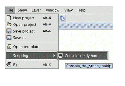
- gvsig-jython.gif
- 417×288
- //23/02/2011 19:42//
- 31 KB

- iconemisenpage.jpg
- 214×36
- //23/02/2011 19:42//
- 2.9 KB
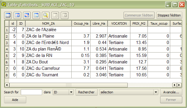
- image001.png
- 634×368
- //23/02/2011 19:42//
- 42 KB

- image003.png
- 574×114
- //23/02/2011 19:42//
- 8.6 KB
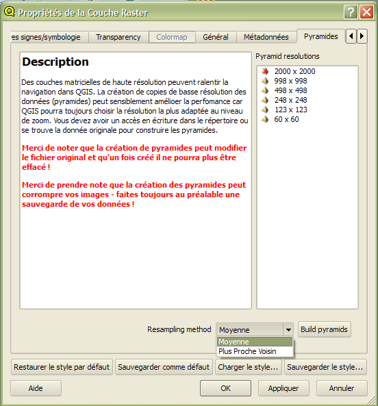
- image005.png
- 552×593
- //23/02/2011 19:42//
- 41.3 KB

- image007.png
- 26×25
- //23/02/2011 19:42//
- 738 B

- image009.png
- 697×183
- //23/02/2011 19:42//
- 71.1 KB
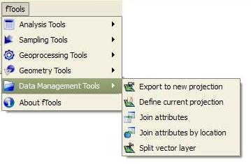
- image011.png
- 359×235
- //23/02/2011 19:42//
- 74.9 KB
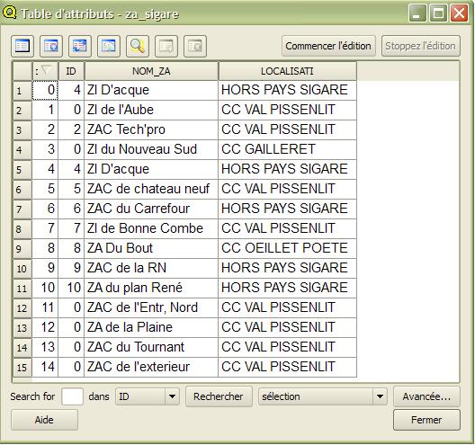
- image013.jpg
- 528×495
- //23/02/2011 19:42//
- 70.2 KB
- image014.jpg
- 238×223
- //23/02/2011 19:42//
- 13.1 KB
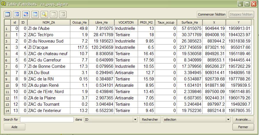
- image015.jpg
- 899×470
- //23/02/2011 19:42//
- 124.6 KB
- image016.jpg
- 405×211
- //23/02/2011 19:42//
- 22.4 KB
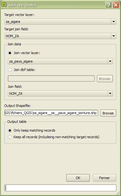
- image017.jpg
- 387×627
- //23/02/2011 19:42//
- 34 KB
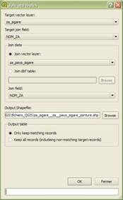
- image018.jpg
- 174×282
- //23/02/2011 19:42//
- 7.7 KB
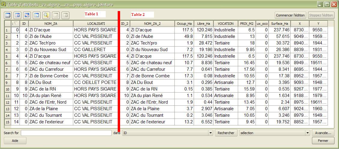
- image019.jpg
- 1129×499
- //23/02/2011 19:42//
- 161.7 KB
- image020.jpg
- 508×225
- //23/02/2011 19:42//
- 30.3 KB

- image021.png
- 33×35
- //23/02/2011 19:42//
- 1.2 KB
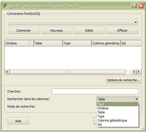
- image023.png
- 505×455
- //23/02/2011 19:42//
- 24.6 KB

- image025.png
- 35×34
- //23/02/2011 19:42//
- 2.7 KB

- image027.png
- 34×33
- //23/02/2011 19:42//
- 1.6 KB
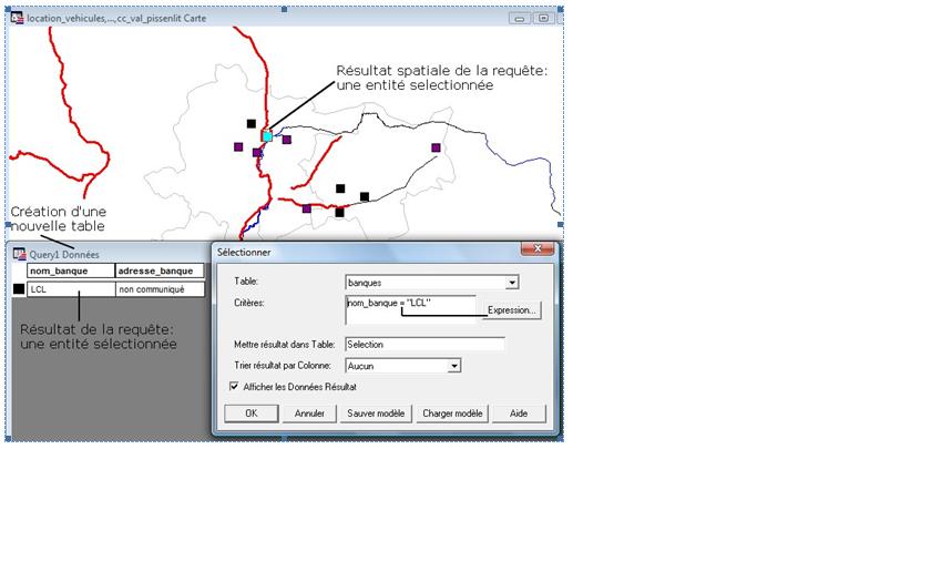
- img2.jpg
- 840×525
- //23/02/2011 19:42//
- 40.4 KB
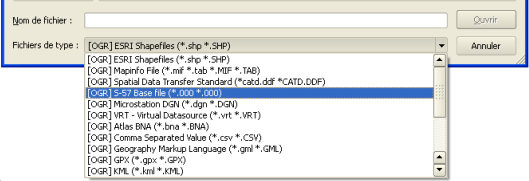
- importation_vecteur_qgis.png
- 529×181
- //23/02/2011 19:42//
- 27.6 KB

- imprimer.jpg
- 37×34
- //23/02/2011 19:42//
- 715 B
- interface_ecran.jpg
- 252×203
- //23/02/2011 19:42//
- 14.5 KB
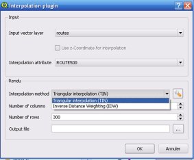
- interpolation.jpg
- 283×234
- //23/02/2011 19:42//
- 12.8 KB
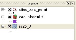
- legende.jpg
- 258×136
- //23/02/2011 19:42//
- 7.5 KB
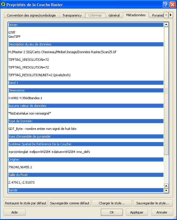
- meta1.jpg
- 599×745
- //23/02/2011 19:42//
- 279.5 KB
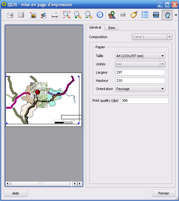
- misenpage.jpg
- 591×661
- //23/02/2011 19:42//
- 53.7 KB

- navig_mep.jpg
- 142×36
- //23/02/2011 19:42//
- 1.9 KB
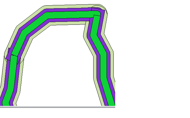
- obg_buffer2.png
- 640×400
- //23/02/2011 19:42//
- 11.4 KB
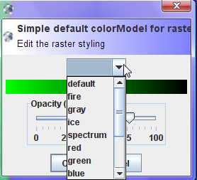
- obg_colormodelraster.png
- 278×253
- //23/02/2011 19:42//
- 19.7 KB
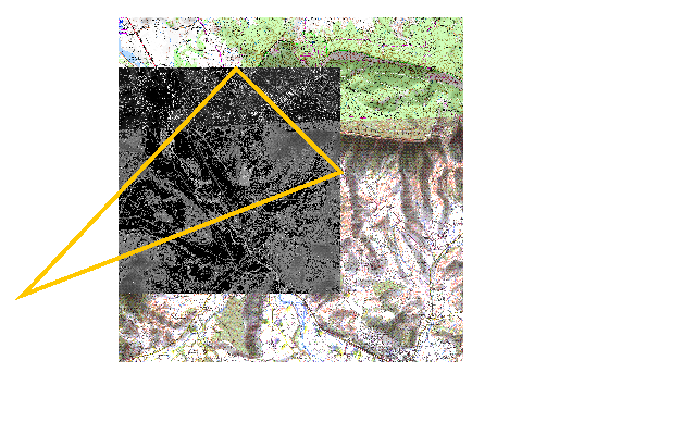
- obg_cropraster.png
- 640×400
- //23/02/2011 19:42//
- 98.9 KB
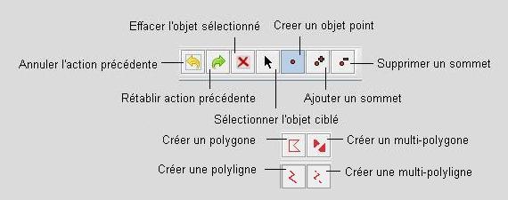
- obg_digit.jpg
- 570×225
- //23/02/2011 19:42//
- 20.4 KB
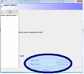
- obg_echelle.gif
- 351×308
- //23/02/2011 19:42//
- 17.1 KB
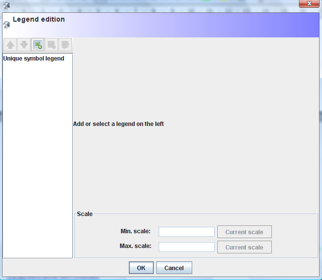
- obg_editlegend.png
- 655×569
- //23/02/2011 19:42//
- 35.7 KB
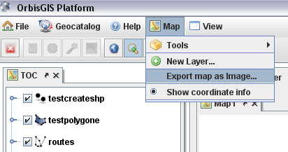
- obg_exportmap.png
- 412×217
- //23/02/2011 19:42//
- 24.7 KB
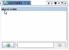
- obg_geomark.gif
- 222×163
- //23/02/2011 19:42//
- 3.6 KB
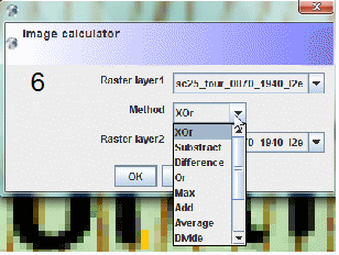
- obg_imagecalculator.gif
- 308×232
- //23/02/2011 19:42//
- 20.6 KB
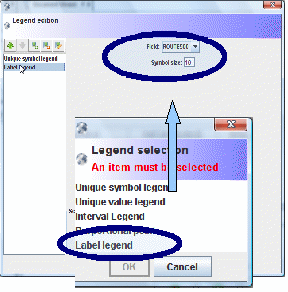
- obg_labelisation.gif
- 288×292
- //23/02/2011 19:42//
- 21.4 KB
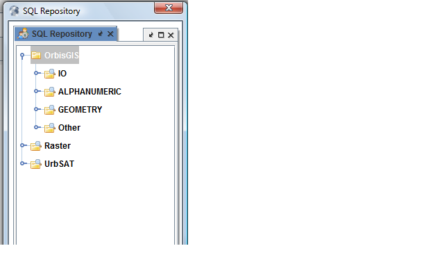
- obg_list_requete_obg.png
- 640×400
- //23/02/2011 19:42//
- 26.1 KB
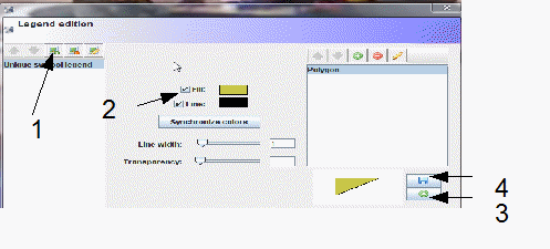
- obg_modifcouleur.gif
- 497×225
- //23/02/2011 19:42//
- 18.8 KB
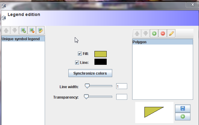
- obg_modification_des_couleurs.png
- 649×407
- //23/02/2011 19:42//
- 42 KB
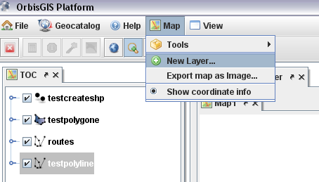
- obg_newlayer.png
- 454×259
- //23/02/2011 19:42//
- 26.7 KB
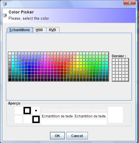
- obg_palette.png
- 473×487
- //23/02/2011 19:42//
- 27.6 KB
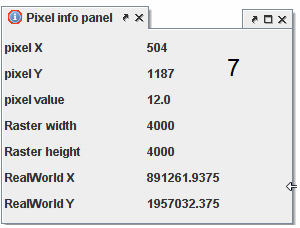
- obg_panelinfoimage.gif
- 300×228
- //23/02/2011 19:42//
- 5.3 KB
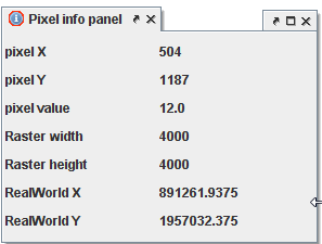
- obg_panelinfoimage.png
- 297×225
- //23/02/2011 19:42//
- 6.5 KB
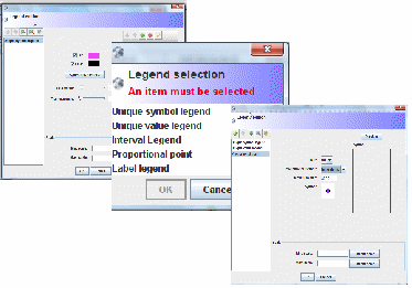
- obg_proportionnelpoint.gif
- 373×261
- //23/02/2011 19:42//
- 16.6 KB
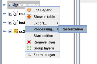
- obg_rasterisation.png
- 340×225
- //23/02/2011 19:42//
- 14.2 KB

- obg_toolbarraster.gif
- 269×73
- //23/02/2011 19:42//
- 4 KB

- obg_toolvecteur.gif
- 197×82
- //23/02/2011 19:42//
- 3.5 KB

- obg_toolvecteur.png
- 140×26
- //23/02/2011 19:42//
- 2.2 KB
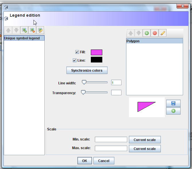
- obg_uniquesymbollegend.png
- 670×587
- //23/02/2011 19:42//
- 44.2 KB
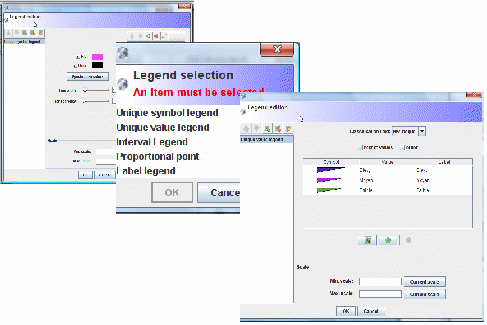
- obg_uniquevalue_legend.gif
- 487×325
- //23/02/2011 19:42//
- 25.9 KB
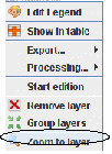
- obg_zoomtolayer.gif
- 102×140
- //23/02/2011 19:42//
- 3.7 KB
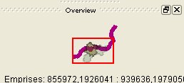
- overview.jpg
- 258×117
- //23/02/2011 19:42//
- 6.9 KB
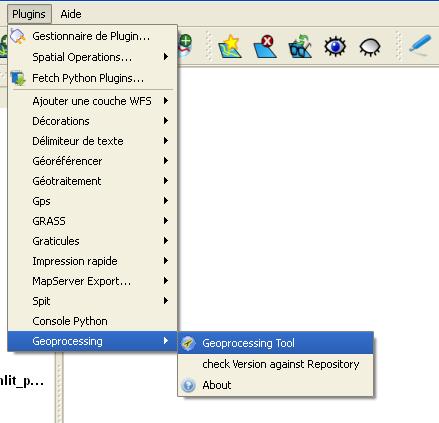
- plug_in.jpg
- 439×423
- //23/02/2011 19:42//
- 26.5 KB
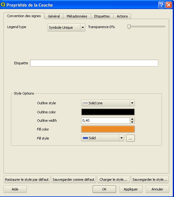
- proprietes_de_couches.jpg
- 556×631
- //23/02/2011 19:42//
- 40.9 KB
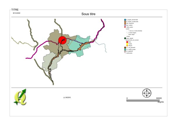
- quickprint.jpg
- 591×417
- //23/02/2011 19:42//
- 22 KB
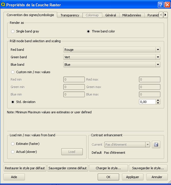
- raster.jpg
- 597×645
- //23/02/2011 19:42//
- 61.2 KB
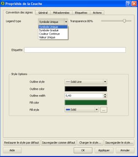
- symbole.jpg
- 283×322
- //23/02/2011 19:42//
- 14.8 KB

- symboleqgis.jpg
- 92×72
- //23/02/2011 19:42//
- 1.5 KB
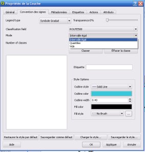
- symbolgradue.jpg
- 283×297
- //23/02/2011 19:42//
- 15.6 KB
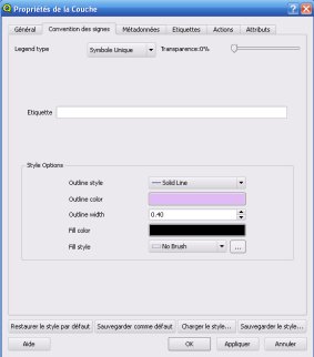
- symbolunic.jpg
- 283×322
- //23/02/2011 19:42//
- 13.2 KB
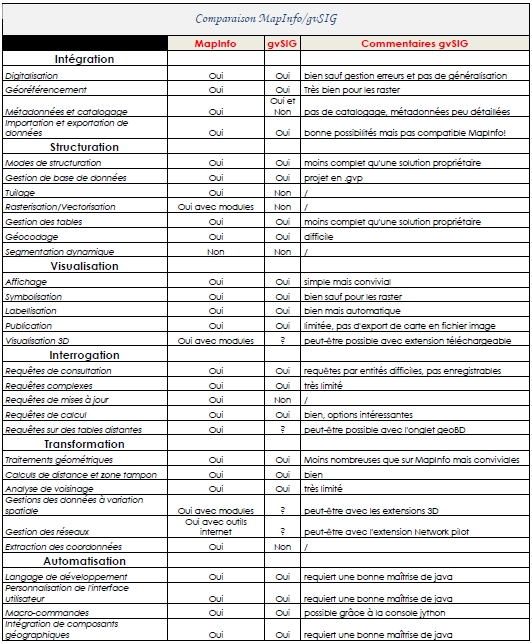
- tableau_beau.jpg
- 532×644
- //23/02/2011 19:42//
- 282.9 KB
- tableau_gvsig.pdf
- //23/02/2011 19:42//
- 35.1 KB
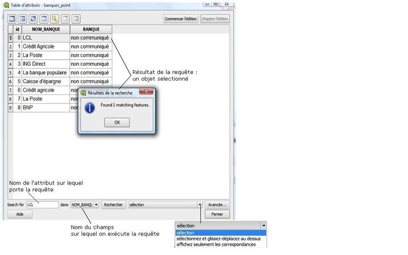
- test.jpg
- 840×525
- //23/02/2011 19:42//
- 40.8 KB

- visualisationcouches.jpg
- 70×36
- //23/02/2011 19:42//
- 1.2 KB

- zoom_sur_etendue.jpg
- 36×33
- //23/02/2011 19:42//
- 855 B
Fichier
- Voir
- Éditer
- Historique
- Date :
- //23/02/2011 19:42//
- Nom de fichier :
- raster.jpg
- Format :
- JPEG
- Taille :
- 61KB
- Largeur :
- 597
- Hauteur :
- 645
- Utilisé sur:
- affichage
fonctions/integration/digitalisation/modes/arcgispro.txt · Dernière modification : //31/01/2021 05:32// de ira


