fonctions:transformation:coordonnees:arcgis
Gestionnaire Multimédia
Catégories
Choisissez une catégorie
Sélection de fichiers
- Sélection de fichiers
- Envoyer
- Rechercher
Fichiers dans fonctions:transformation:coordonnees
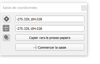
- 1.png
- 339×217
- //23/01/2020 11:17//
- 8.1 KB

- 2.png
- 42×38
- //23/01/2020 11:17//
- 2.5 KB

- 3.png
- 47×39
- //23/01/2020 11:17//
- 2.5 KB

- 4.png
- 56×59
- //23/01/2020 11:17//
- 3 KB

- 5.png
- 116×82
- //23/01/2020 11:17//
- 3.6 KB

- 6.png
- 495×55
- //23/01/2020 11:17//
- 13.7 KB
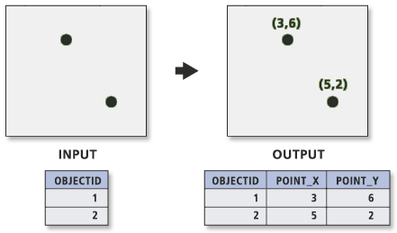
- add_xy.png
- 441×259
- //28/02/2019 10:29//
- 5.2 KB
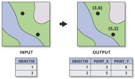
- addxy.gif
- 441×259
- //23/02/2011 19:37//
- 10.9 KB
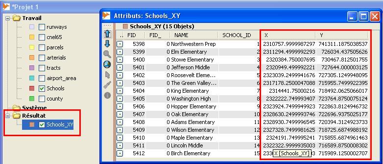
- addxyasattributes_table_finale.jpg
- 782×336
- //23/02/2011 19:37//
- 80 KB
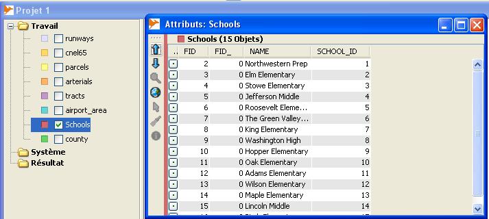
- addxyasattributes_table_origine.jpg
- 713×320
- //23/02/2011 19:37//
- 46.9 KB
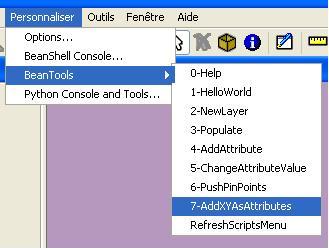
- addxyasattributes.jpg
- 329×248
- //23/02/2011 19:37//
- 18.1 KB
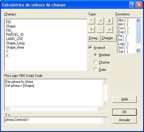
- calculerxy.jpg
- 479×438
- //23/02/2011 19:37//
- 32.3 KB
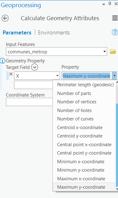
- calucl_geom.png
- 380×638
- //28/02/2019 10:32//
- 23.6 KB
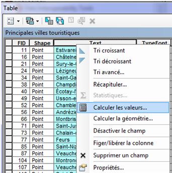
- clic_droit.jpg
- 342×343
- //11/02/2012 23:57//
- 42.4 KB
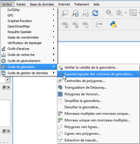
- coord_1.png
- 484×497
- //21/01/2016 11:21//
- 47.6 KB
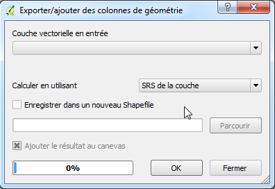
- coord_2.png
- 396×272
- //21/01/2016 11:23//
- 23.8 KB
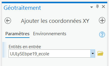
- coordonnees.png
- 370×223
- //31/01/2021 17:03//
- 7 KB
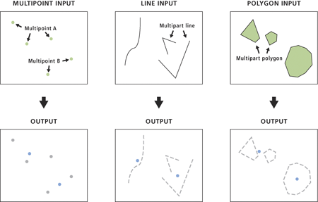
- entite_point.png
- 450×287
- //28/02/2019 10:29//
- 31.5 KB
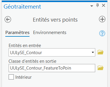
- entitespoints.png
- 373×294
- //31/01/2021 17:07//
- 11.4 KB
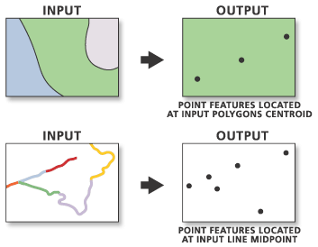
- featurestopoints.gif
- 353×274
- //23/02/2011 19:37//
- 10.2 KB
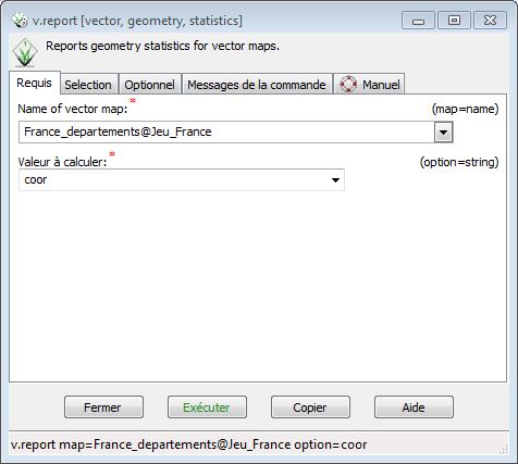
- grass_coord_1.jpg
- 476×427
- //22/04/2015 14:31//
- 38.4 KB
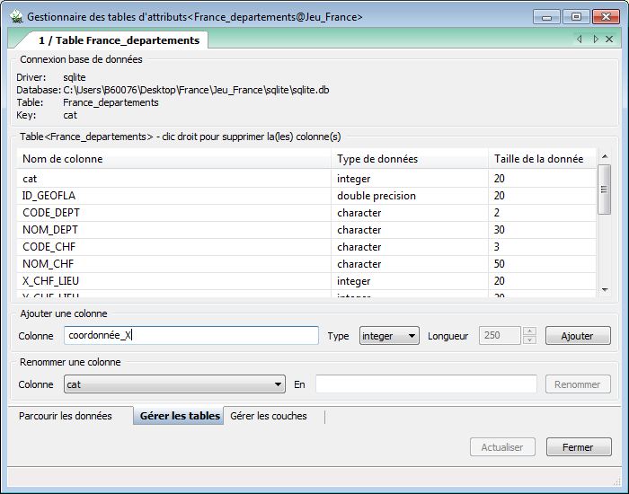
- grass_coord_2.jpg
- 700×550
- //22/04/2015 14:31//
- 77.9 KB
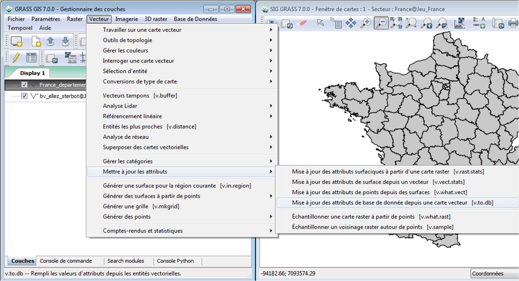
- grass_coord_3.jpg
- 1668×905
- //22/04/2015 14:31//
- 174.1 KB
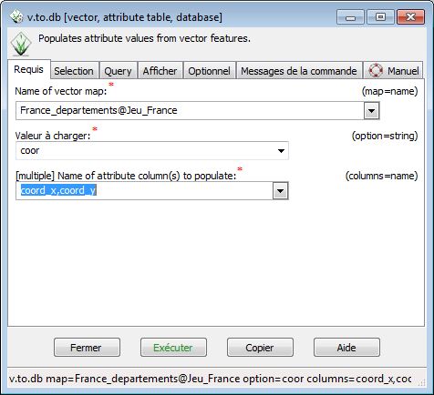
- grass_coord_4.jpg
- 476×434
- //22/04/2015 14:31//
- 45.8 KB
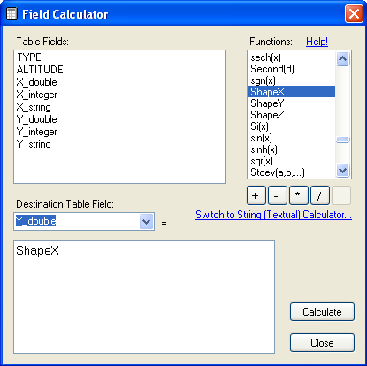
- mapwindow_coordonnees_field_calculator.png
- 415×414
- //23/02/2011 19:37//
- 20.7 KB
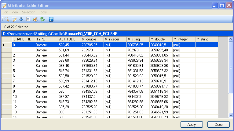
- mapwindow_coordonnees_table_attributaire.png
- 766×431
- //23/02/2011 19:37//
- 41.7 KB
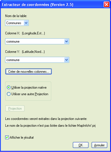
- outils_coordonnees.jpg
- 390×535
- //31/01/2012 16:51//
- 725.7 KB
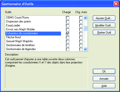
- outils.jpg
- 486×373
- //31/01/2012 16:51//
- 780.7 KB
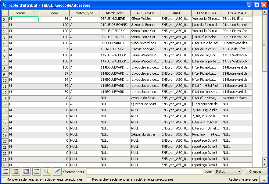
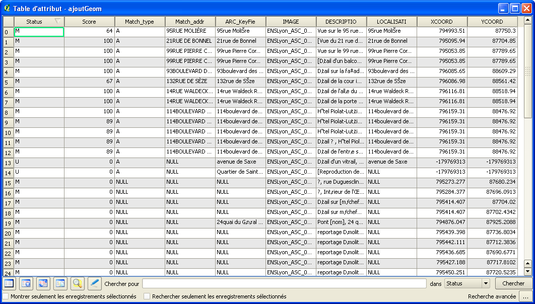
- qgis_extraction_coord_table.png
- 882×604
- //23/02/2011 19:37//
- 50.5 KB
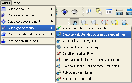
- qgis_extraction_coord_table2.png
- 1062×604
- //23/02/2011 19:37//
- 57.1 KB
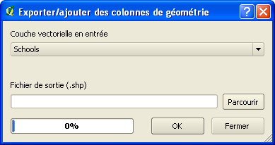
- qgis_extraction_coord.png
- 457×289
- //23/02/2011 19:37//
- 25.7 KB
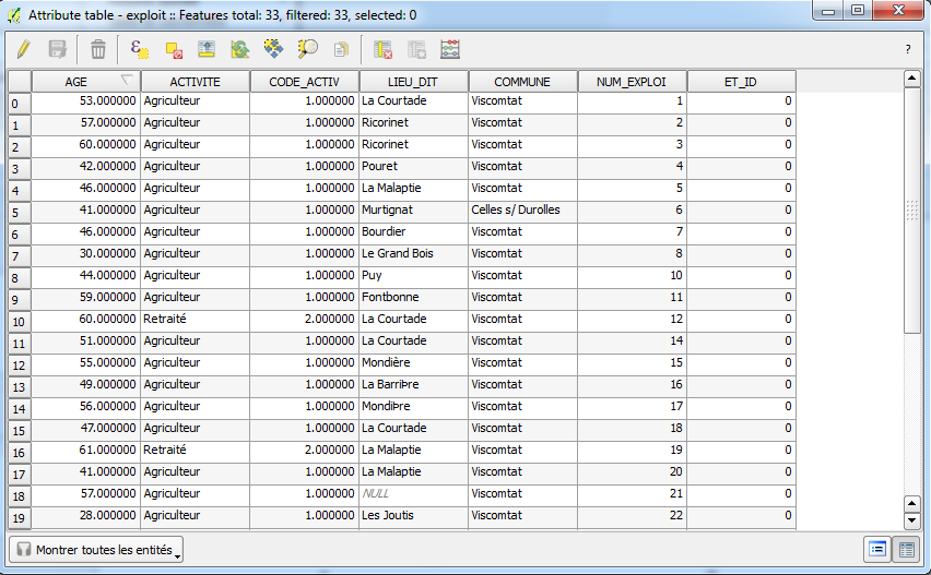
- qgis_extraction_coord2.png
- 389×206
- //23/02/2011 19:37//
- 10.8 KB
- table_attribut_1.png
- 852×527
- //21/01/2016 11:25//
- 67.5 KB
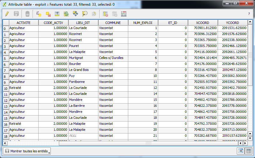
- table_attribut.png
- 853×528
- //21/01/2016 11:26//
- 76.4 KB
Fichier
- Voir
- Historique
- Date :
- //21/01/2016 11:21//
- Nom de fichier :
- coord_1.png
- Format :
- PNG
- Taille :
- 48KB
- Largeur :
- 484
- Hauteur :
- 497
- Utilisé sur:
- qgis
fonctions/transformation/coordonnees/arcgis.txt · Dernière modification : //12/02/2012 00:03// de esenna


