fonctions:automatisation:composants:geoconcept
Gestionnaire Multimédia
Catégories
Choisissez une catégorie
Sélection de fichiers
- Sélection de fichiers
- Envoyer
- Rechercher
Fichiers dans fonctions:automatisation:macrocommande
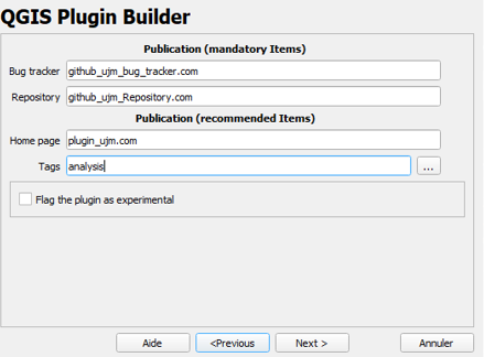
- bugs_publis.png
- 439×324
- //27/01/2021 15:41//
- 38.4 KB

- choix_console_python.jpg
- 241×64
- //31/01/2016 16:44//
- 9.3 KB

- classe_en_entree_python.jpg
- 202×66
- //31/01/2016 16:44//
- 7.5 KB

- classe_en_sortie_python.jpg
- 208×48
- //31/01/2016 16:44//
- 7.8 KB
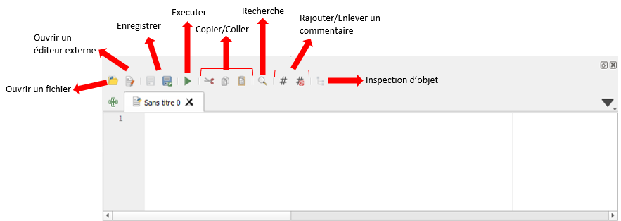
- commandes.png
- 883×314
- //27/01/2021 15:19//
- 25.2 KB
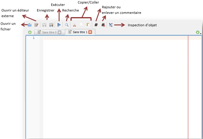
- console_editeur_python.jpg
- 689×471
- //31/01/2016 16:44//
- 32.2 KB
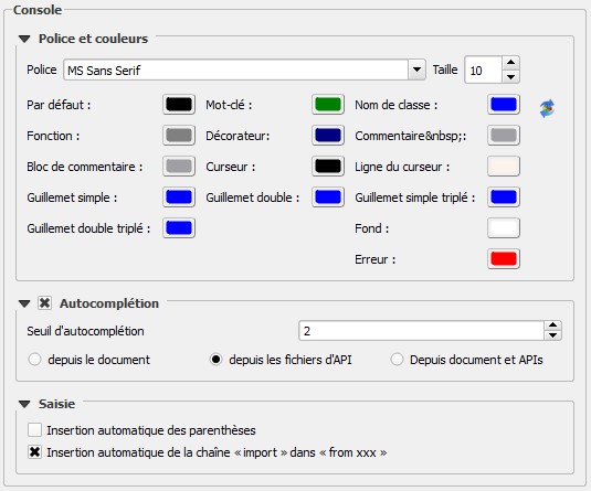
- console_parametre.jpg
- 535×445
- //31/01/2016 16:44//
- 52.3 KB
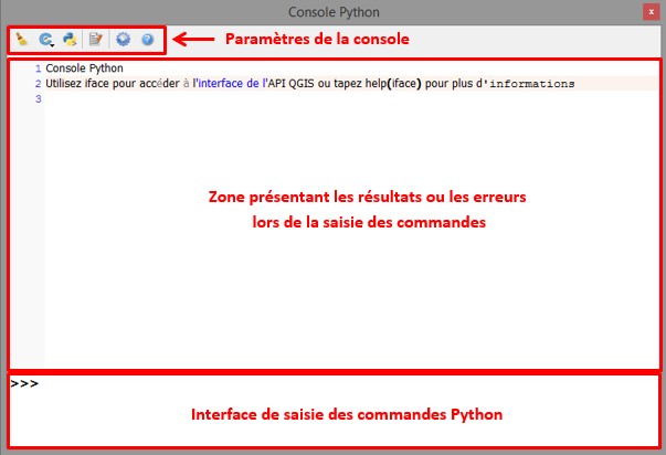
- console_python.jpg
- 603×412
- //31/01/2016 16:44//
- 39.2 KB

- console_python.png
- 926×240
- //27/01/2021 15:16//
- 48.5 KB

- creer_modele.jpg
- 377×48
- //14/02/2012 16:40//
- 11 KB

- ex_model_builder.png
- 945×296
- //22/01/2020 11:47//
- 49.8 KB

- execution_script_python.jpg
- 79×81
- //31/01/2016 16:44//
- 1.9 KB
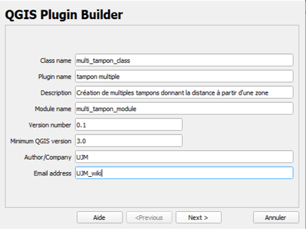
- exemple_plugin_builder.png
- 447×340
- //27/01/2021 15:36//
- 42.8 KB
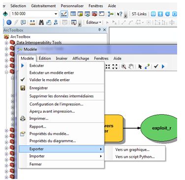
- export_python.jpg
- 376×364
- //14/02/2012 17:19//
- 34.3 KB

- fleche.jpg
- 104×39
- //31/01/2016 17:51//
- 1.7 KB
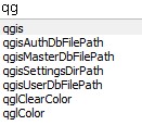
- fonction_auto_completion.jpg
- 131×127
- //31/01/2016 16:44//
- 7.3 KB
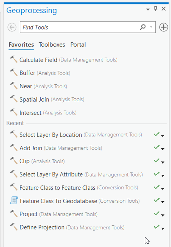
- geoprocessing.png
- 548×788
- //22/01/2020 11:31//
- 164 KB

- icone_1_plugin.jpg
- 28×37
- //31/01/2016 17:35//
- 944 B

- icone_2_plugin.jpg
- 301×69
- //31/01/2016 17:43//
- 9 KB

- icone_3_plugin.jpg
- 468×140
- //31/01/2016 17:35//
- 19.9 KB
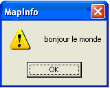
- imgmapinfo8.png
- 160×128
- //08/02/2012 22:19//
- 60 KB
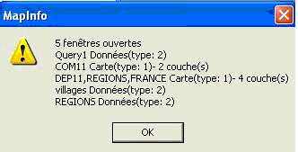
- imgmapinfo9.png
- 332×169
- //08/02/2012 22:19//
- 75.9 KB

- importation_python.jpg
- 83×87
- //31/01/2016 16:44//
- 2.4 KB

- model_builder.png
- 888×241
- //22/01/2020 11:43//
- 96.5 KB
- modelbuilder.jpg
- 480×295
- //23/02/2011 19:36//
- 21.3 KB
- modele_builder.jpg
- 805×321
- //14/02/2012 16:34//
- 34.6 KB
- modele.jpg
- 535×308
- //23/02/2011 19:36//
- 42.4 KB
- modele3.jpg
- 508×350
- //23/02/2011 19:36//
- 35.3 KB
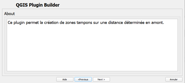
- nature_plugin_builder.png
- 730×330
- //27/01/2021 15:37//
- 31.6 KB

- nettoyage_python.jpg
- 94×92
- //31/01/2016 16:44//
- 1.6 KB

- ouvrir_editeur_python.jpg
- 78×72
- //31/01/2016 16:44//
- 1.8 KB
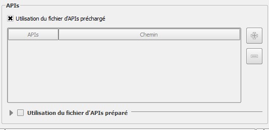
- parametre_api.jpg
- 533×259
- //31/01/2016 16:44//
- 18.7 KB
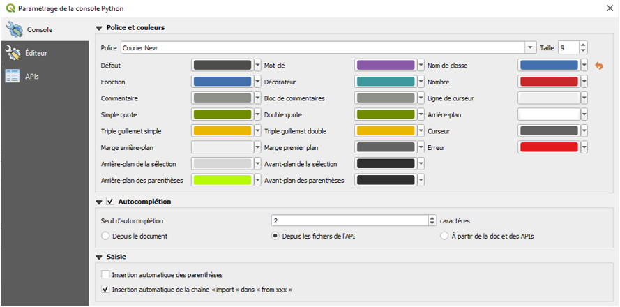
- parametre_console.png
- 889×440
- //27/01/2021 15:25//
- 113.9 KB
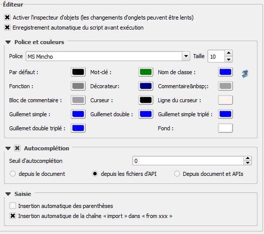
- parametre_editeur.jpg
- 527×467
- //31/01/2016 16:44//
- 59.1 KB
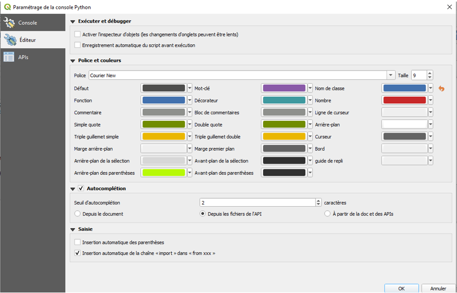
- parametre_editeur.png
- 889×570
- //27/01/2021 15:27//
- 136.2 KB

- parametre_python.jpg
- 71×71
- //31/01/2016 16:44//
- 1.9 KB
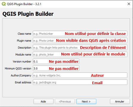
- plugin_build3_2.png
- 449×361
- //27/01/2021 15:32//
- 47.8 KB
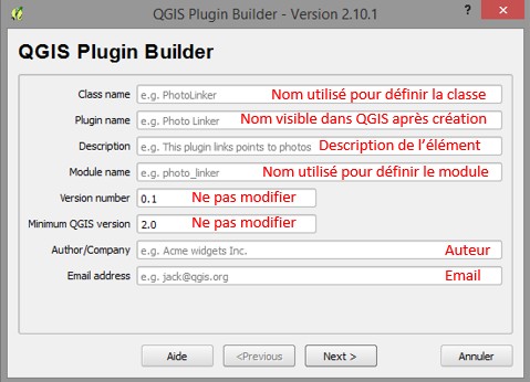
- plugin_builder_2.jpg
- 479×346
- //31/01/2016 17:35//
- 43.4 KB
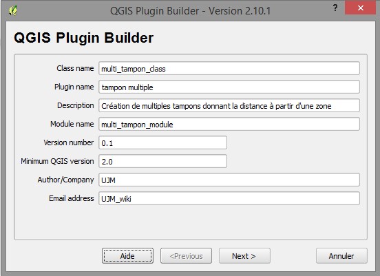
- plugin_builder_3.jpg
- 552×401
- //31/01/2016 17:35//
- 46.7 KB
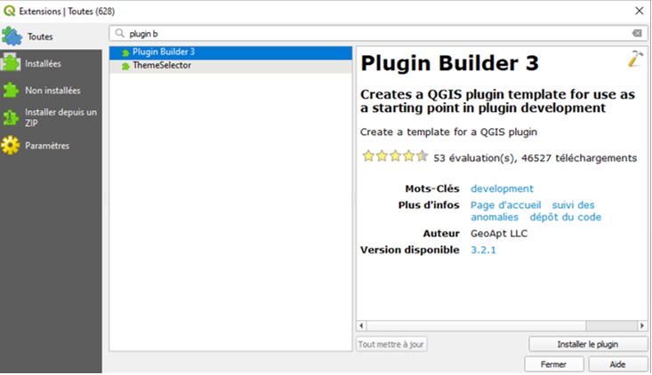
- plugin_builder_3.png
- 733×422
- //27/01/2021 15:30//
- 96.7 KB
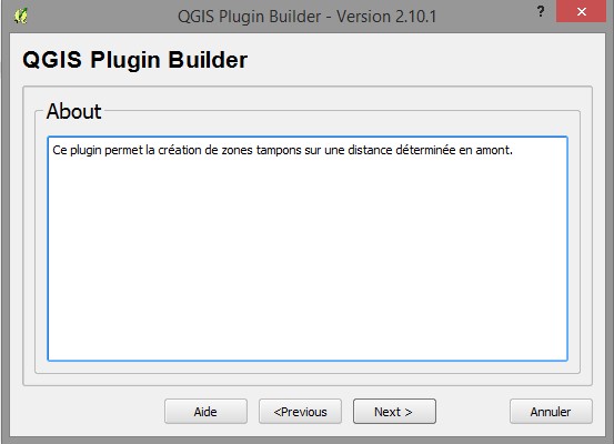
- plugin_builder_4.jpg
- 553×400
- //31/01/2016 17:35//
- 34.3 KB
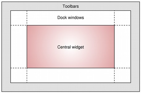
- plugin_builder_5.jpg
- 455×302
- //31/01/2016 17:35//
- 19.6 KB
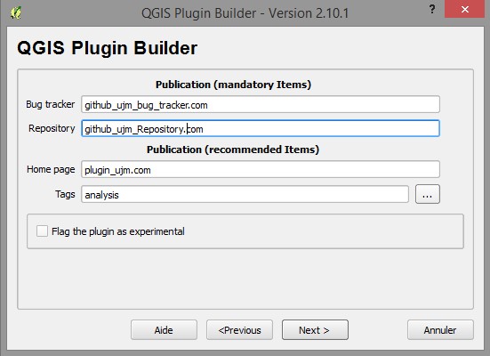
- plugin_builder_6.jpg
- 551×400
- //31/01/2016 17:35//
- 43.2 KB

- plugin_builder_7.jpg
- 719×129
- //31/01/2016 17:35//
- 43.3 KB
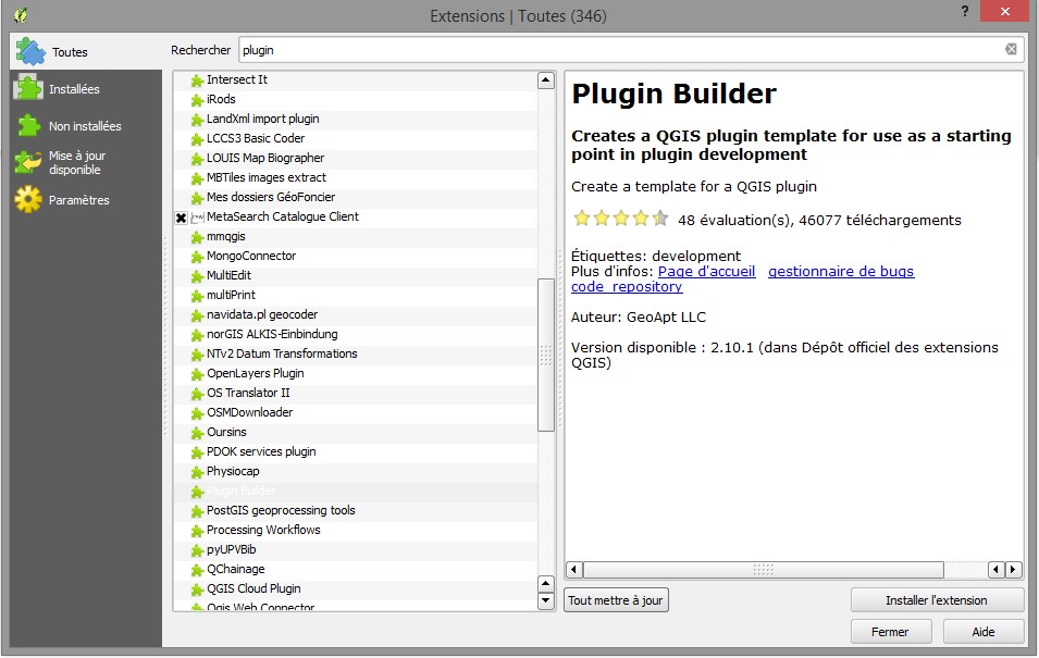
- plugin_builder.jpg
- 955×605
- //31/01/2016 17:35//
- 121.3 KB

- py_model_builder.png
- 845×261
- //22/01/2020 11:55//
- 95.1 KB
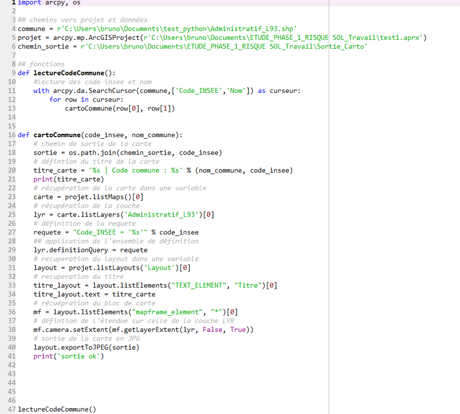
- py_script.png
- 945×851
- //22/01/2020 12:01//
- 263.2 KB
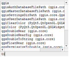
- qg.png
- 241×199
- //27/01/2021 15:21//
- 53.6 KB
Fichier
- Voir
- Historique
- Date :
- //08/02/2012 22:19//
- Nom de fichier :
- imgmapinfo9.png
- Format :
- PNG
- Taille :
- 76KB
- Largeur :
- 332
- Hauteur :
- 169
- Utilisé sur:
- mapinfo
fonctions/automatisation/composants/geoconcept.txt · Dernière modification : //23/02/2011 19:46// de 127.0.0.1


