fonctions:integration:digitalisation:generalisation:qgis
Gestionnaire Multimédia
Catégories
Choisissez une catégorie
Sélection de fichiers
- Sélection de fichiers
- Envoyer
- Rechercher
Fichiers dans fonctions:integration:metadonnees
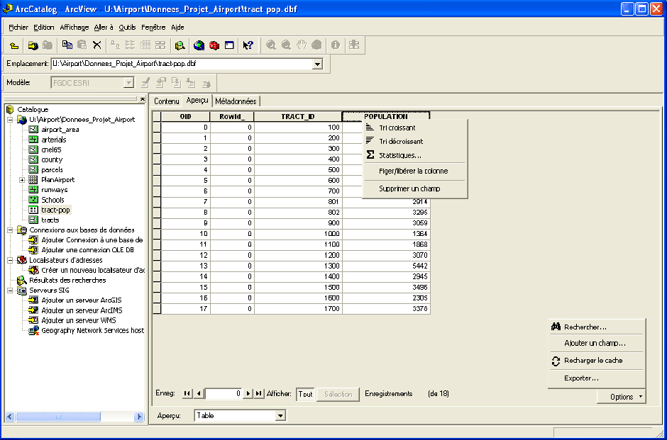
- analyse_edition_table_arccatalog.jpg
- 940×621
- //23/02/2011 19:36//
- 311.9 KB

- bouton_description_theme.jpg
- 25×22
- //23/02/2011 19:36//
- 945 B

- bouton_metadonnees_fichier.jpg
- 25×22
- //23/02/2011 19:36//
- 942 B

- bouton_metadonnees_theme.jpg
- 25×22
- //23/02/2011 19:36//
- 952 B
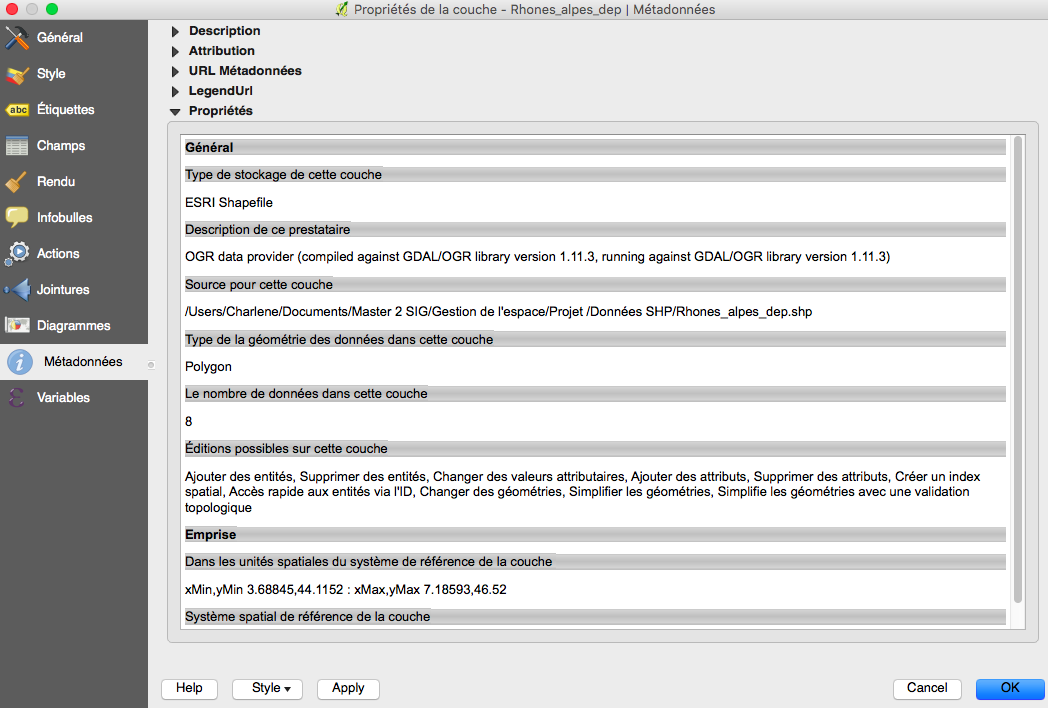
- capture_d_e_cran_2016-01-29_a_09.21.03.png
- 1048×708
- //29/01/2016 09:24//
- 159 KB
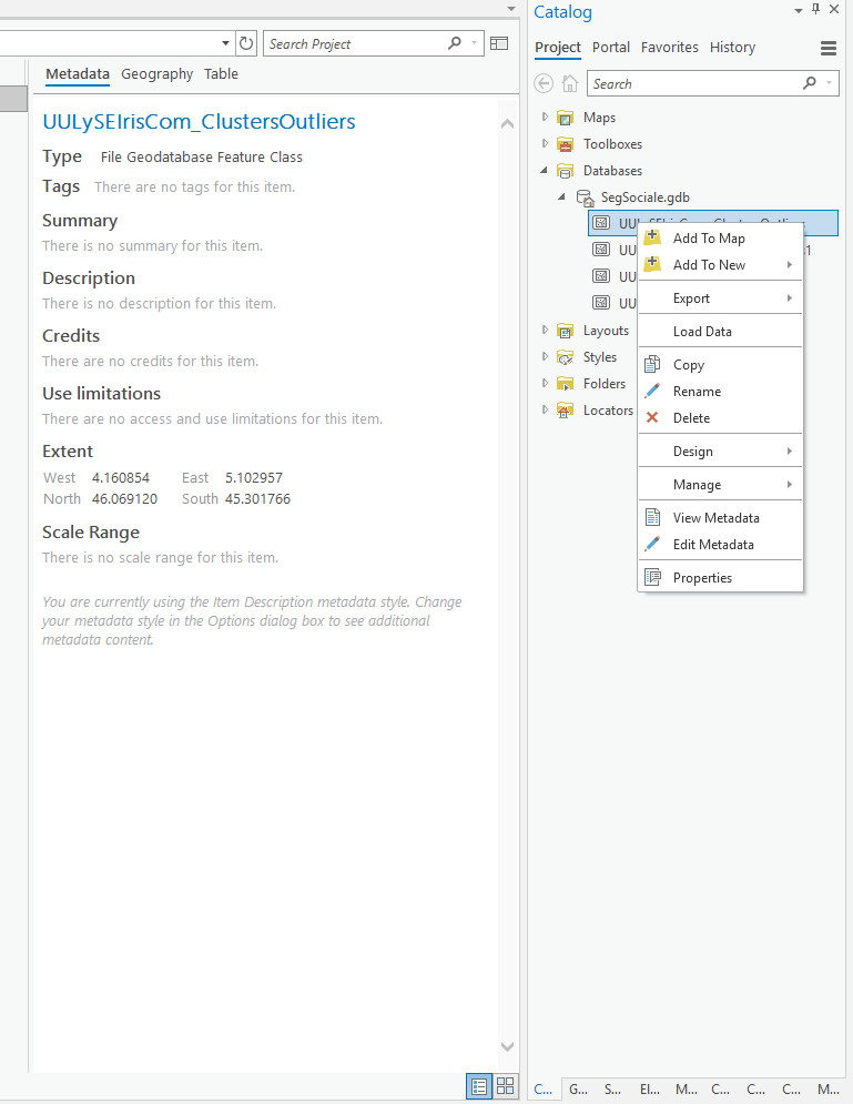
- capture1.jpg
- 769×995
- //23/01/2020 10:44//
- 113.2 KB

- capture2.jpg
- 762×228
- //23/01/2020 10:49//
- 37.6 KB
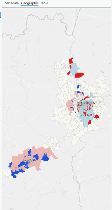
- capture3.jpg
- 450×843
- //23/01/2020 10:51//
- 57.8 KB

- capture4.jpg
- 382×123
- //23/01/2020 10:53//
- 21 KB

- capture5.jpg
- 792×114
- //23/01/2020 10:58//
- 21.5 KB
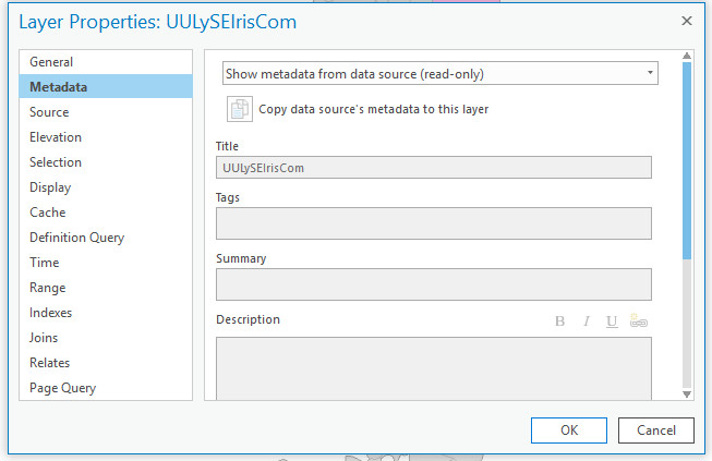
- capture6.jpg
- 653×423
- //23/01/2020 10:59//
- 52.7 KB

- capture7.jpg
- 628×207
- //23/01/2020 11:01//
- 29 KB
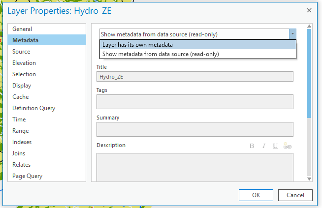
- capture8.png
- 654×423
- //23/01/2020 11:21//
- 25.1 KB
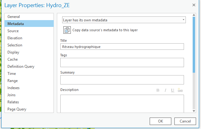
- capture9.png
- 650×417
- //23/01/2020 11:24//
- 21.6 KB
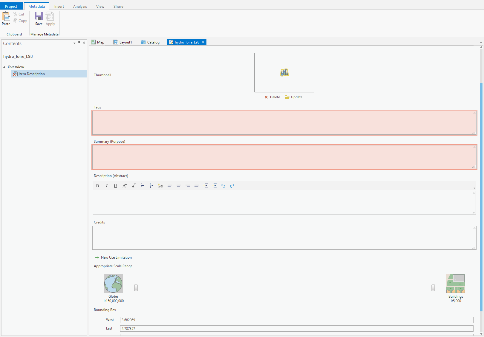
- capture10.png
- 1620×1131
- //23/01/2020 11:28//
- 47 KB

- capture11.png
- 163×417
- //23/01/2020 11:31//
- 7.1 KB
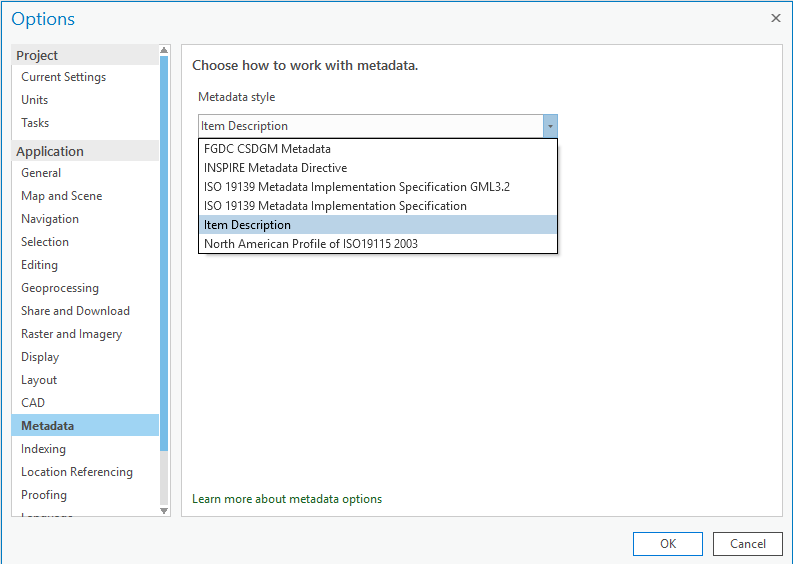
- capture12.png
- 793×564
- //23/01/2020 11:33//
- 28 KB
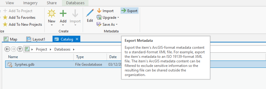
- capture13.png
- 881×294
- //23/01/2020 11:44//
- 31.3 KB
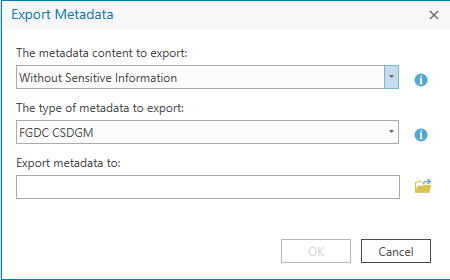
- capture14.png
- 450×280
- //23/01/2020 11:46//
- 11 KB
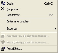
- clic_droit_sur_couche.jpg
- 200×182
- //23/02/2011 19:36//
- 39.4 KB
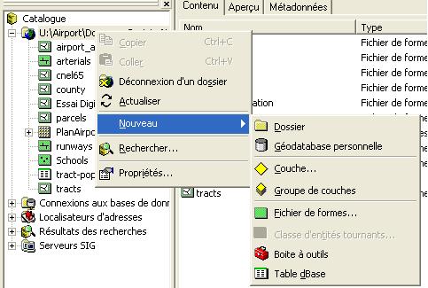
- clic_droit_sur_repertoire.jpg
- 483×325
- //23/02/2011 19:36//
- 39.9 KB

- creer_imagette.jpg
- 26×28
- //23/02/2011 19:36//
- 843 B
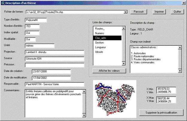
- description_metadonnees_theme.jpg
- 626×405
- //23/02/2011 19:36//
- 50.9 KB
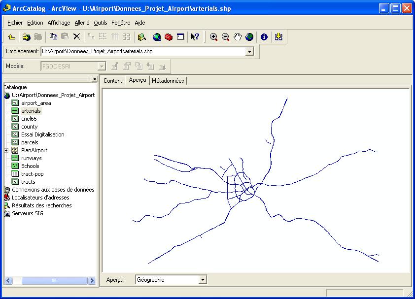
- fenetre_arccatalog_apercu.jpg
- 842×607
- //23/02/2011 19:36//
- 74.7 KB
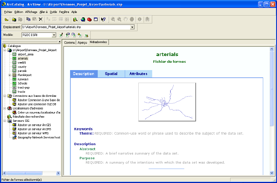
- fenetre_arccatalog_metadonnees.jpg
- 941×624
- //23/02/2011 19:36//
- 288.6 KB
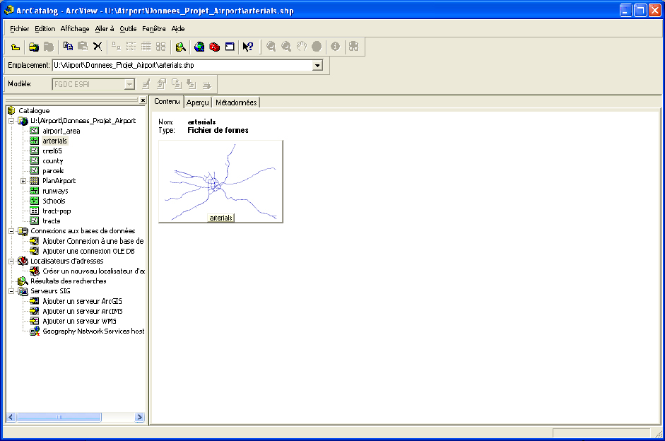
- fenetre_arccatalog.jpg
- 941×624
- //23/02/2011 19:36//
- 232.9 KB
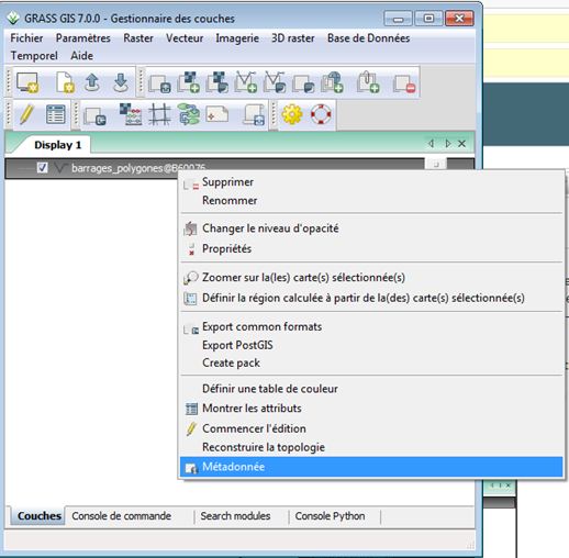
- grass_metadata_1.jpg
- 518×508
- //22/04/2015 09:12//
- 50.8 KB
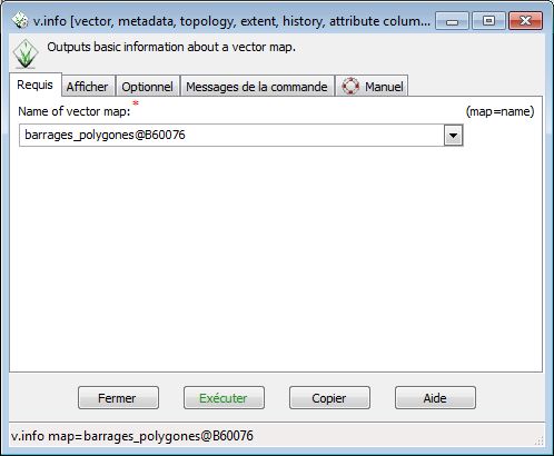
- grass_metadata_2.jpg
- 498×410
- //22/04/2015 09:12//
- 37.1 KB
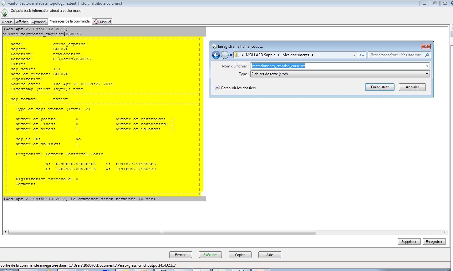
- grass_metadata_3.jpg
- 1448×868
- //22/04/2015 09:12//
- 160.9 KB
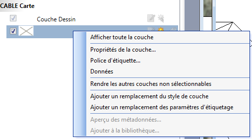
- map_meta_0.png
- 508×280
- //16/03/2017 11:01//
- 17.3 KB
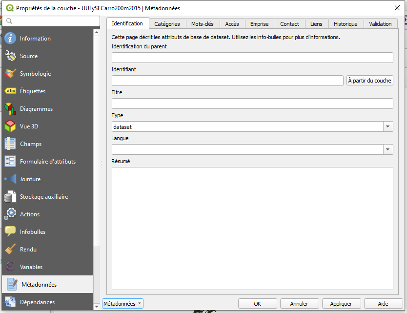
- meta_donnee.png
- 834×641
- //30/01/2021 01:26//
- 43.2 KB

- meta_donnee1.png
- 89×23
- //30/01/2021 01:35//
- 835 B
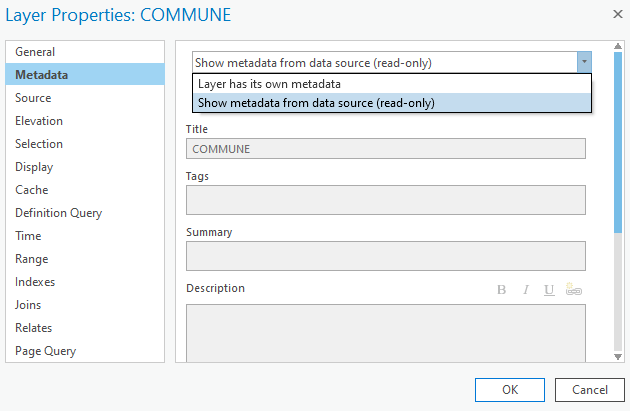
- metadata.png
- 630×411
- //31/01/2021 23:10//
- 18.2 KB
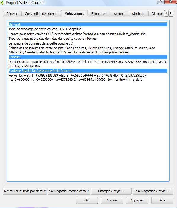
- metadonne_vecteur.jpg
- 598×701
- //23/02/2011 19:36//
- 65.9 KB
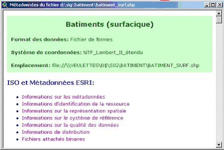
- metadonnees_fichier.jpg
- 453×304
- //23/02/2011 19:36//
- 23.3 KB
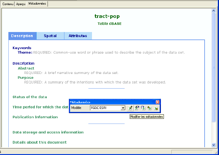
- metadonnees.jpg
- 731×518
- //23/02/2011 19:36//
- 173 KB
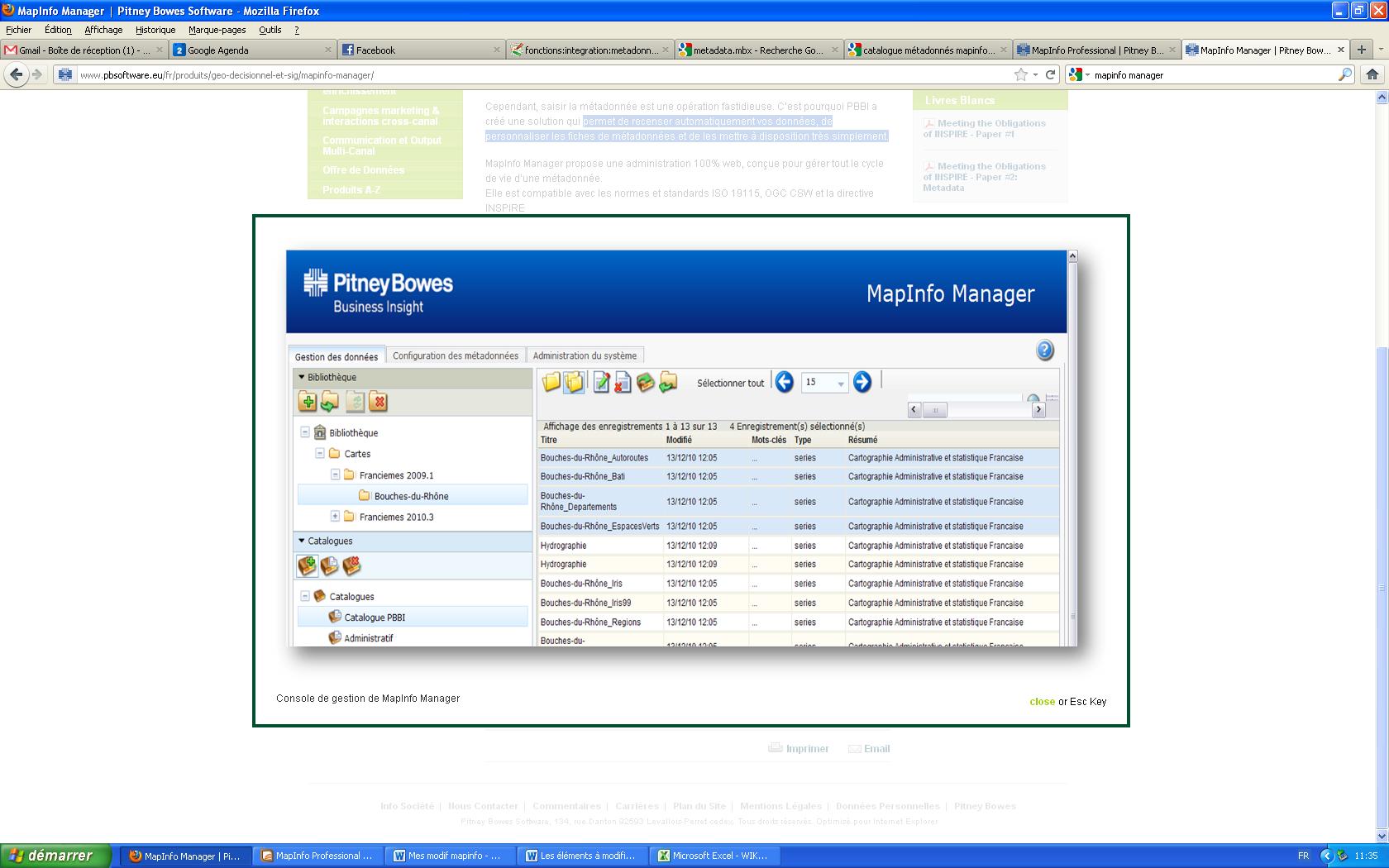
- metadonnees42.jpg
- 1680×1050
- //13/02/2012 09:51//
- 187.1 KB
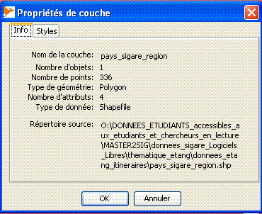
- metadonneesok.gif
- 370×302
- //23/02/2011 19:36//
- 12.7 KB
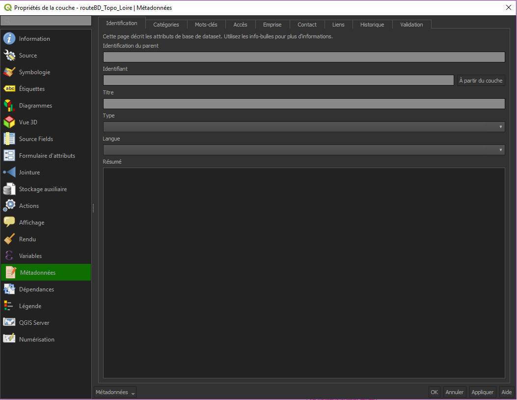
- metadonneesqgis3.png
- 1053×814
- //23/01/2020 16:16//
- 48.2 KB
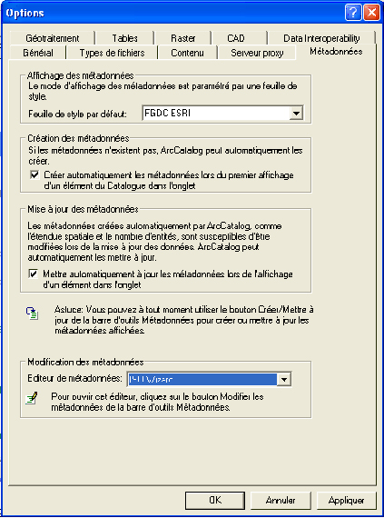
- options_metadonnees.jpg
- 423×570
- //23/02/2011 19:36//
- 197.4 KB
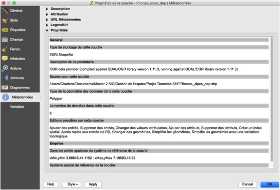
- sans_titre.jpg
- 559×379
- //29/01/2016 09:34//
- 55.7 KB
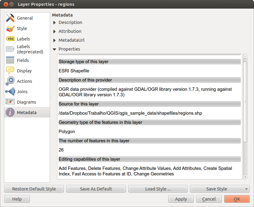
- vector_metadata_tab.png
- 827×675
- //29/01/2016 11:28//
- 125.6 KB
Fichier
- Voir
- Éditer
- Historique
fonctions/integration/digitalisation/generalisation/qgis.txt · Dernière modification : //30/01/2021 12:45// de marchand


