fonctions:integration:georeferencement:vecteurs:arcgis
Gestionnaire Multimédia
Catégories
Choisissez une catégorie
Sélection de fichiers
- Sélection de fichiers
- Envoyer
- Rechercher
Fichiers dans fonctions:integration:georeferencement:images
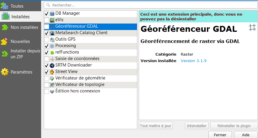
- 1.png
- 872×469
- //22/01/2020 11:00//
- 33.4 KB
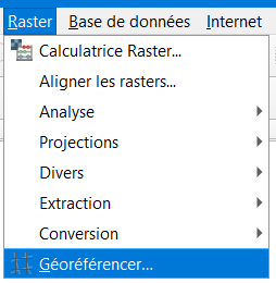
- 2.png
- 254×260
- //22/01/2020 11:00//
- 5.7 KB

- 3.jpg
- 24×24
- //04/11/2015 20:57//
- 991 B
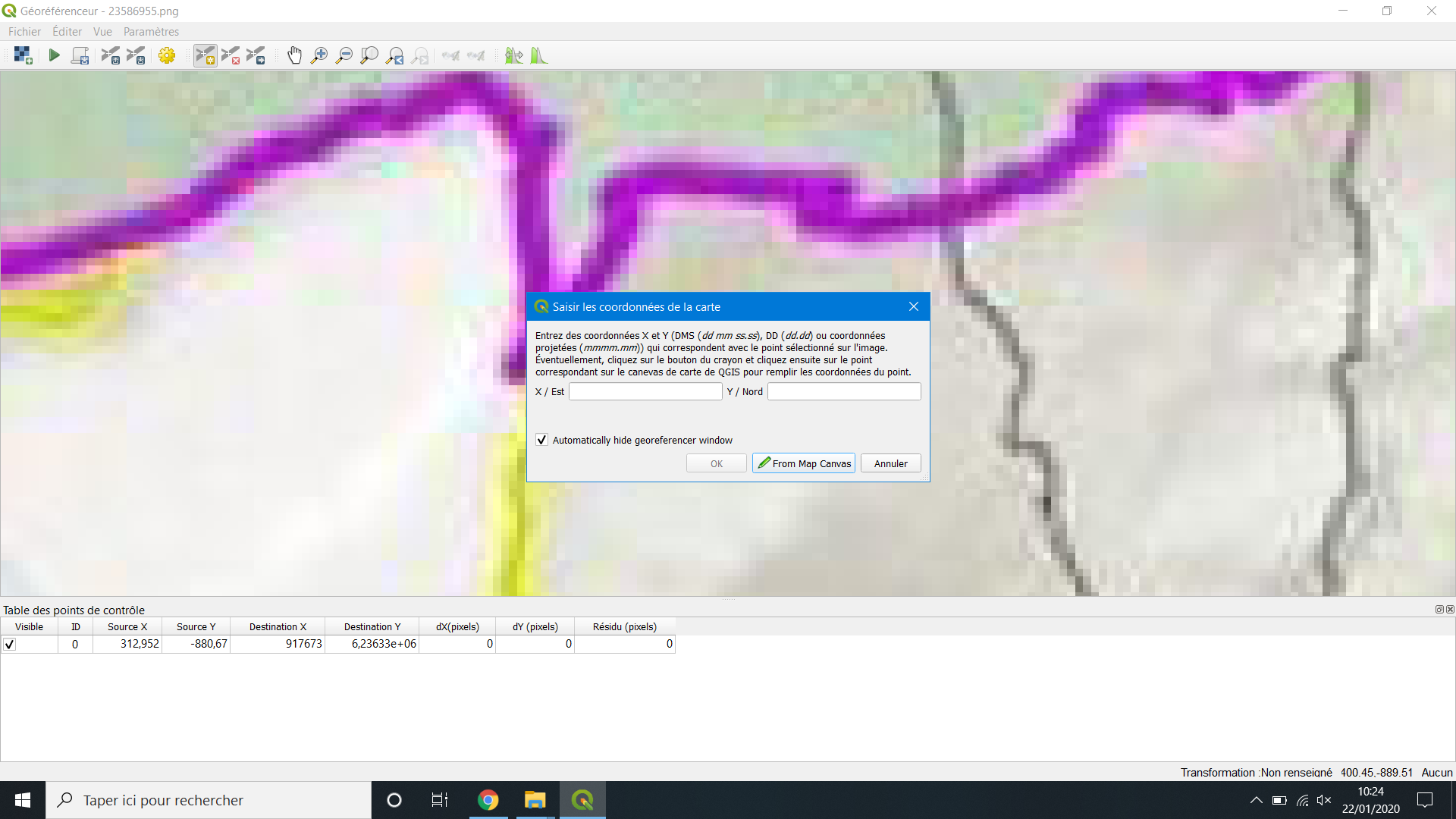
- 4.png
- 1920×1080
- //22/01/2020 11:00//
- 139.4 KB

- 5.png
- 24×24
- //04/11/2015 20:58//
- 916 B
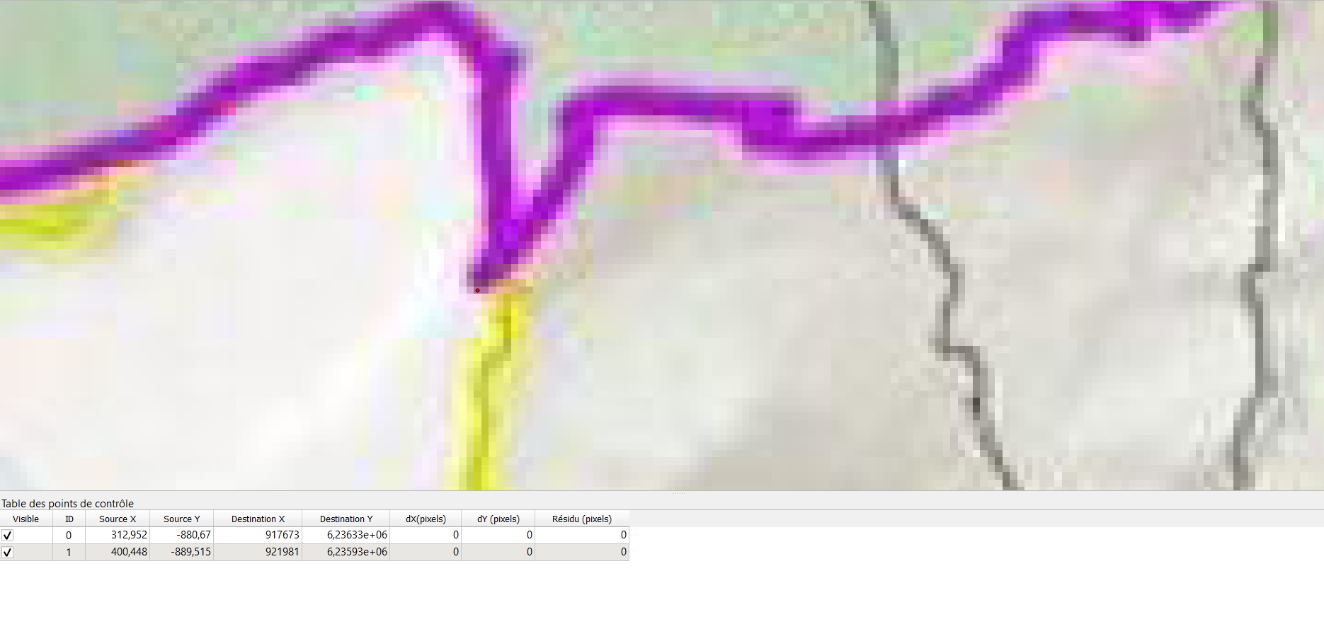
- 6.png
- 1870×889
- //22/01/2020 11:00//
- 65.3 KB
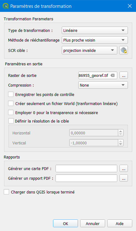
- 7.png
- 436×739
- //22/01/2020 11:00//
- 19.1 KB
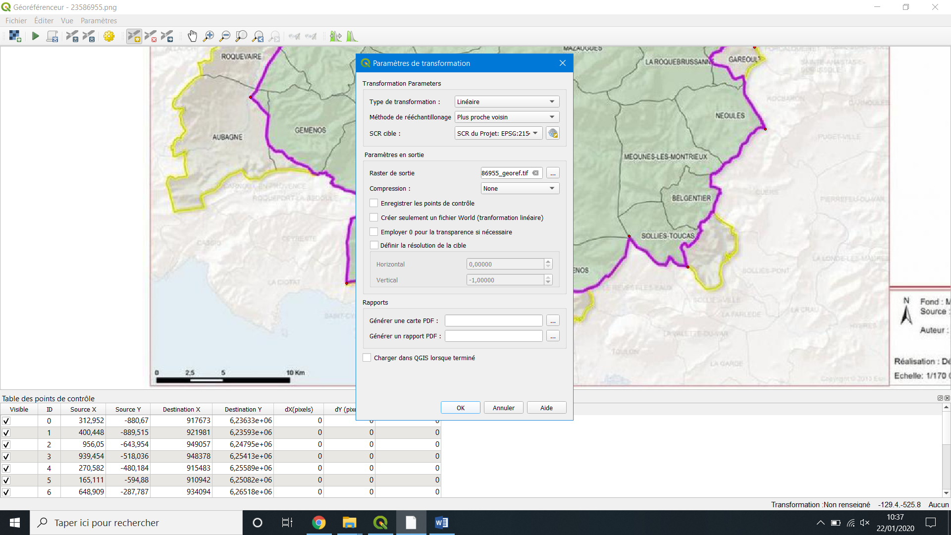
- 8.png
- 1920×1080
- //22/01/2020 11:00//
- 752.3 KB
- 2020-01-22_100530.png
- 872×469
- //22/01/2020 10:06//
- 33.4 KB

- barre_doutils_georeferencement.jpg
- 416×49
- //23/02/2011 19:39//
- 32.4 KB

- bouton_georeferencement_qgis.jpg
- 37×37
- //23/02/2011 19:39//
- 931 B

- bouton1.jpg
- 24×24
- //04/11/2015 21:04//
- 1 KB
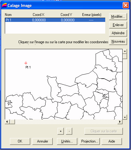
- calage_fenetre.gif
- 437×500
- //23/02/2011 19:39//
- 18.5 KB
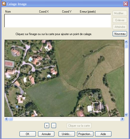
- calage_image.png
- 526×563
- //12/03/2012 18:54//
- 334.8 KB
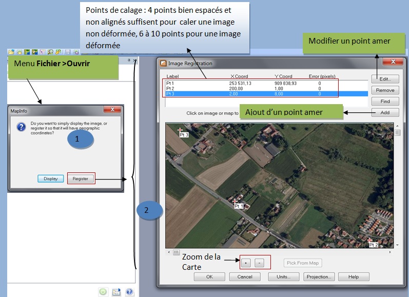
- calage.jpg
- 797×579
- //17/03/2012 11:45//
- 137.5 KB
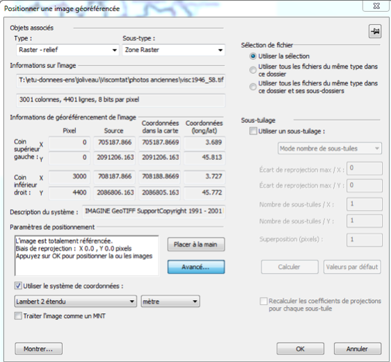
- capture_d_e_cran_2015-02-26_a_11.45.56.png
- 562×521
- //26/02/2015 11:46//
- 198.1 KB
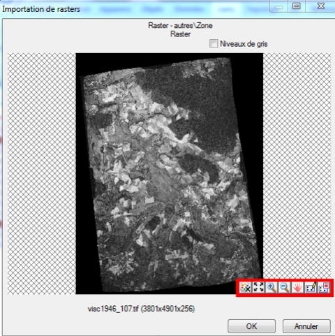
- capture_d_e_cran_2015-02-26_a_11.46.15.png
- 480×481
- //26/02/2015 11:46//
- 234.1 KB
- capture_d_e_cran_2015-02-26_a_11.46.26.png
- 123×149
- //26/02/2015 11:46//
- 19.2 KB
- fenetre_arcmap_georeferencement.jpg
- 1133×880
- //23/02/2011 19:39//
- 641.4 KB
- georef_arcgispro_1.jpg
- 1913×1068
- //12/01/2019 21:10//
- 435.5 KB

- georef_arcgispro_2.jpg
- 1074×159
- //12/01/2019 21:09//
- 35.7 KB
- georef_arcgispro_5_bis.jpg
- 1920×1080
- //12/01/2019 21:40//
- 701.5 KB
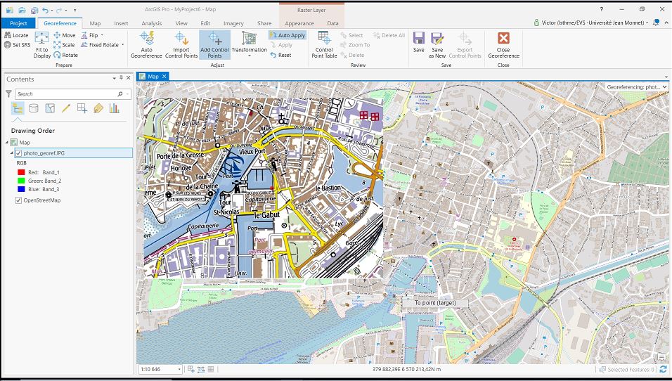
- georef_arcgispro_5.jpg
- 956×542
- //12/01/2019 21:26//
- 151.1 KB

- georef_arcgispro_6.jpg
- 1523×261
- //12/01/2019 21:28//
- 61.8 KB
- georef_arcgispro_7.jpg
- 105×111
- //12/01/2019 21:33//
- 10 KB
- georef_arcgispro_8.jpg
- 138×113
- //12/01/2019 21:06//
- 11.7 KB
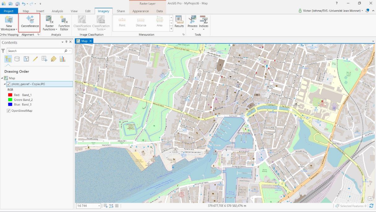
- georef_arcgispro_9.jpg
- 1215×685
- //12/01/2019 21:18//
- 164.7 KB

- georef_arcgispro_10.jpg
- 969×152
- //12/01/2019 21:18//
- 35.7 KB
- georef_arcgispro_11.jpg
- 210×115
- //12/01/2019 21:30//
- 12.2 KB
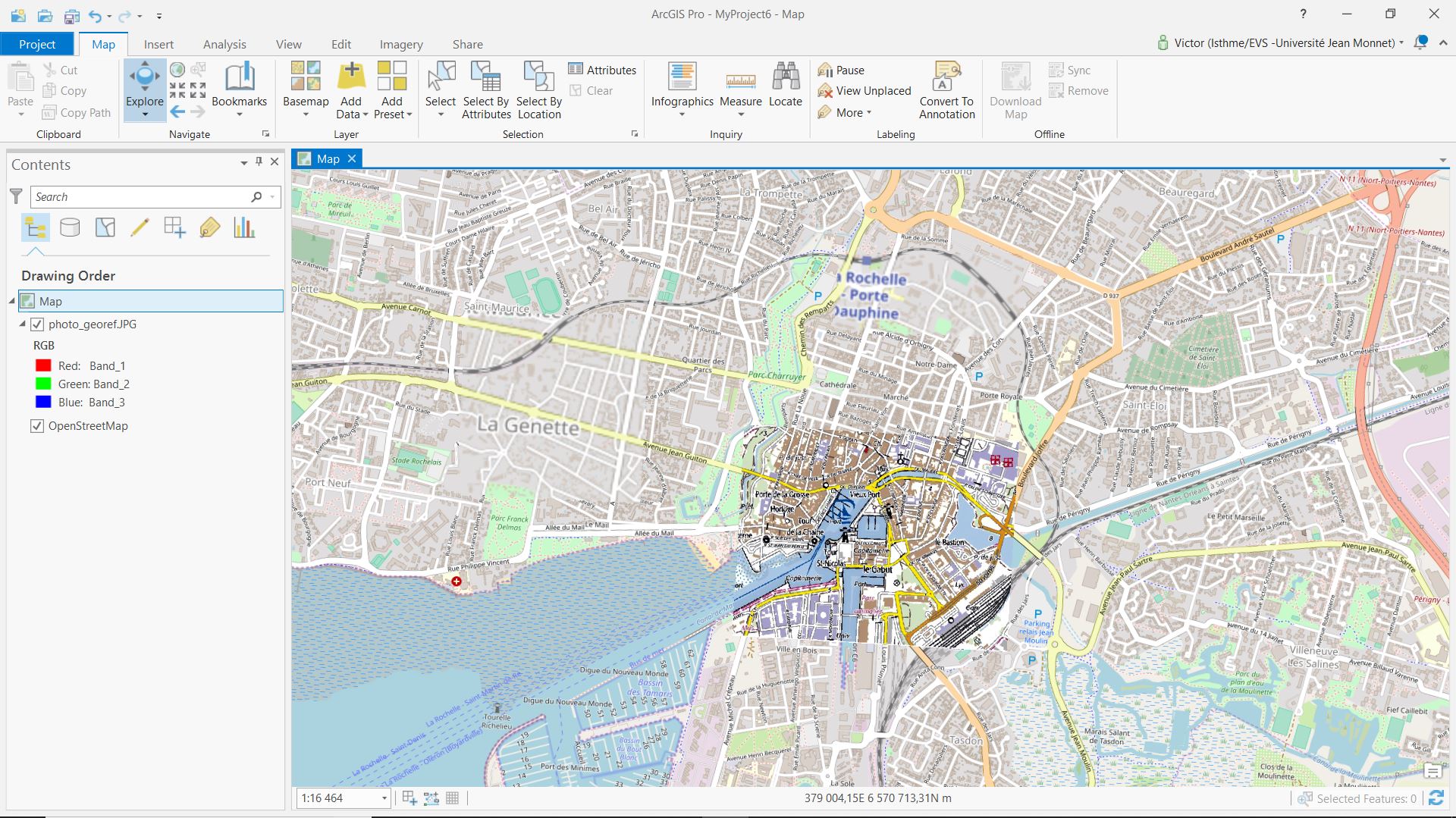
- georef_arcgispro_12.jpg
- 1920×1079
- //12/01/2019 21:49//
- 430.9 KB
- georef_fin.jpg
- 448×232
- //31/01/2021 21:57//
- 24.7 KB
- georef.png
- 245×249
- //30/01/2021 13:42//
- 6.3 KB
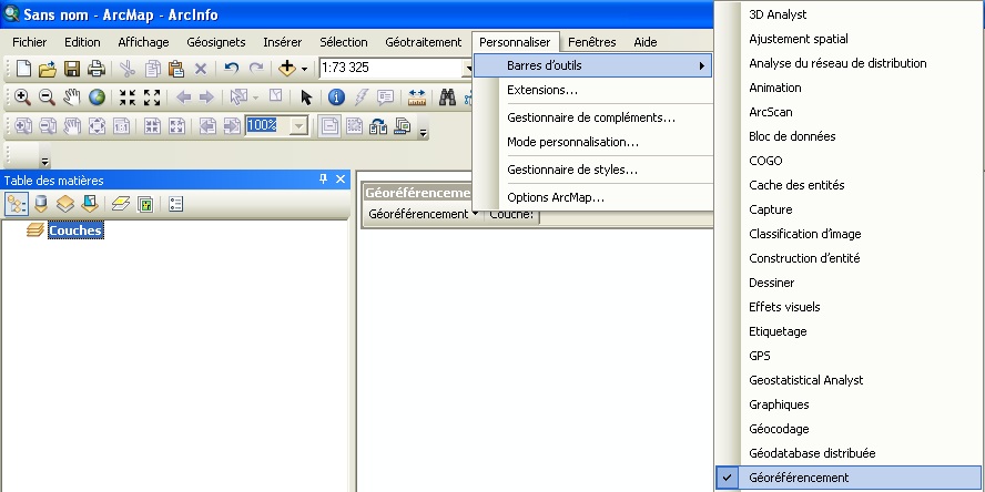
- georef1.jpg
- 888×444
- //14/02/2012 18:32//
- 96.2 KB
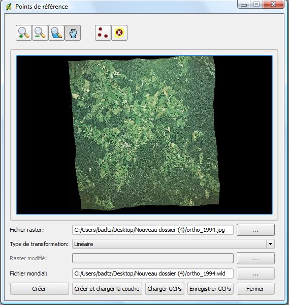
- georeferencement_raster_qgis.jpg
- 569×600
- //23/02/2011 19:39//
- 73.2 KB
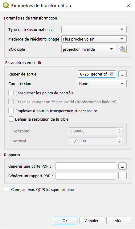
- georefmetho.png
- 438×740
- //30/01/2021 14:19//
- 27.8 KB

- gvsig_barre_georeferencement.png
- 295×22
- //23/02/2011 19:39//
- 1.7 KB

- gvsig19_barre_georeferencement.png
- 295×22
- //23/02/2011 19:39//
- 1.7 KB

- gvsig19_bouton_georeferencement1.png
- 26×22
- //23/02/2011 19:39//
- 1.2 KB

- gvsig19_bouton_georeferencement2.png
- 20×22
- //23/02/2011 19:39//
- 1.1 KB
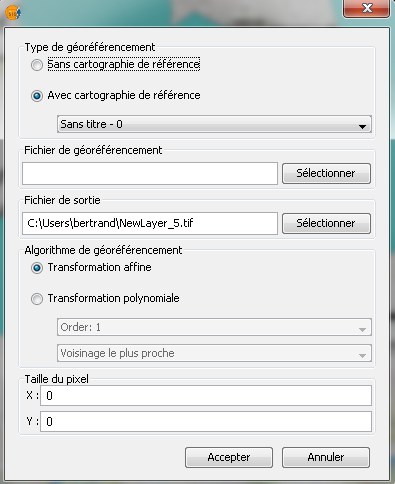
- gvsig19_menu_georeferencement.png
- 395×484
- //23/02/2011 19:39//
- 37.7 KB
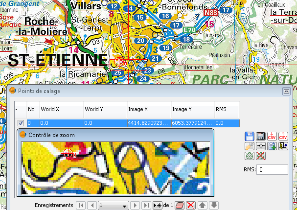
- gvsig91_exemple_georeferencement.png
- 607×429
- //23/02/2011 19:39//
- 316.9 KB
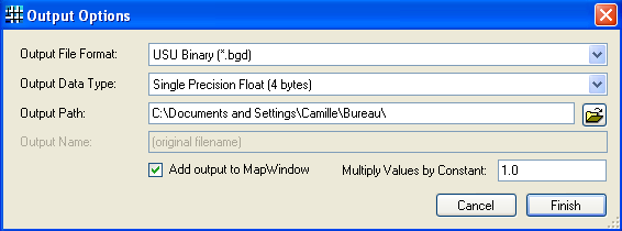
- mapwindow_change_grids_formats.png
- 566×210
- //23/02/2011 19:39//
- 15.8 KB
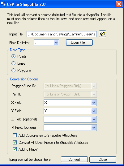
- mapwindow_csv.png
- 401×539
- //23/02/2011 19:39//
- 29.8 KB
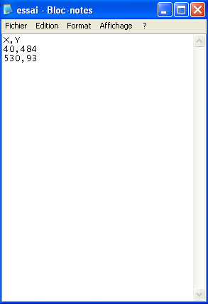
- mapwindow_essai_csv_2.png
- 293×427
- //23/02/2011 19:39//
- 12.6 KB

- mapwindow_exporter.png
- 971×298
- //23/02/2011 19:39//
- 123.7 KB
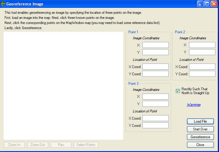
- mapwindow_georefencement.png
- 732×507
- //23/02/2011 19:39//
- 30 KB

- mapwindow_no_metadata_available.png
- 709×138
- //23/02/2011 19:39//
- 14 KB

- outil_georef.png
- 1595×178
- //30/01/2021 18:57//
- 33.2 KB

- outil_georef2.png
- 1187×119
- //31/01/2021 21:31//
- 24.3 KB

- outilsgeoref.png
- 716×63
- //30/01/2021 13:58//
- 12.4 KB

- points_calage_qgis.jpg
- 32×30
- //23/02/2011 19:39//
- 963 B

- ptscontrole.png
- 891×119
- //30/01/2021 14:17//
- 10.4 KB

- qgis19_bouton_georeferencer.png
- 35×32
- //23/02/2011 19:39//
- 1.4 KB
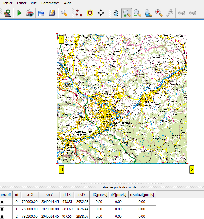
- qgis19_fenetre_georeferencer.png
- 662×711
- //23/02/2011 19:39//
- 156.3 KB

- rastergeoref.png
- 31×31
- //30/01/2021 13:50//
- 602 B
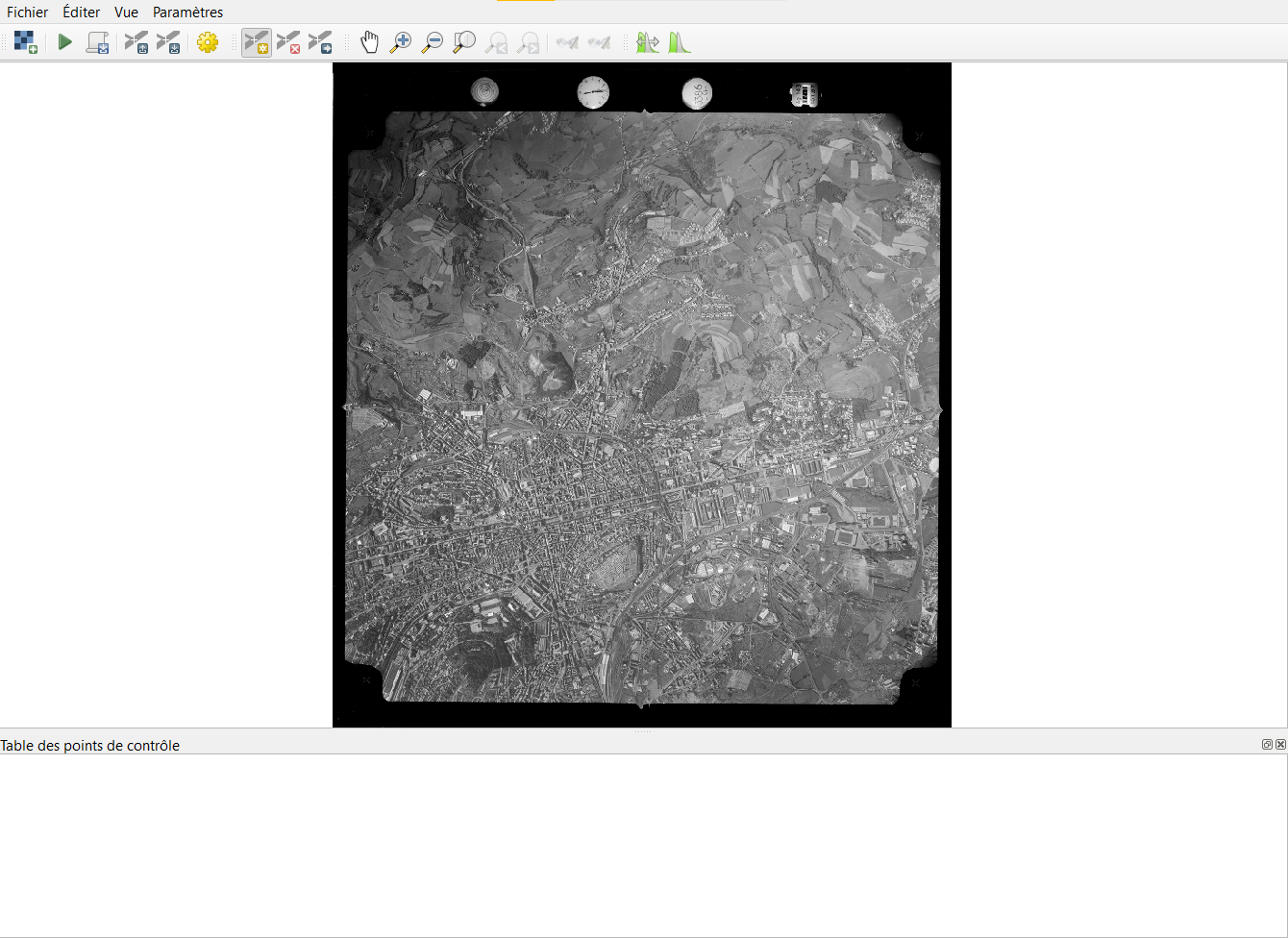
- rastergeoref2.png
- 1340×976
- //30/01/2021 13:52//
- 563.9 KB
Fichier
- Voir
- Historique
- Date :
- //18/06/2011 09:50//
- Nom de fichier :
- georef7.png
- Format :
- PNG
- Taille :
- 752B
- Largeur :
- 37
- Hauteur :
- 34
- Utilisé sur:
- grass
fonctions/integration/georeferencement/vecteurs/arcgis.txt · Dernière modification : //31/01/2021 22:24// de kiener


