

fonctions:integration:georeferencement:vecteurs:mapinfo
Gestionnaire Multimédia
Catégories
Choisissez une catégorie


Sélection de fichiers
- Sélection de fichiers
- Envoyer
- Rechercher
Fichiers dans fonctions:visualisation:symbolisation
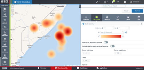
- chaleur1geo.png
- 603×290
- //16/02/2023 17:14//
- 52.5 KB
- chaleur2geo.png
- 605×291
- //16/02/2023 17:14//
- 59 KB
- chaleur3geo.png
- 605×293
- //16/02/2023 17:14//
- 69.1 KB
- chaleur4geo.png
- 605×293
- //16/02/2023 17:14//
- 84.4 KB
- chaleur5geo.png
- 469×228
- //16/02/2023 17:14//
- 77 KB


![[racine]](/wikimastersig/doku.php/fonctions:integration:georeferencement:vecteurs:mapinfo?ns=&tab_files=files&do=media&tab_details=view&image=fonctions%3Aintegration%3Ageoreferencement%3Avecteurs%3Ageoref2.png)
Fichier
- Voir
- Historique

- Date :
- //18/06/2011 09:45//
- Nom de fichier :
- georef2.png
- Format :
- PNG
- Taille :
- 34KB
- Largeur :
- 1005
- Hauteur :
- 378
- Utilisé sur:
- grass
fonctions/integration/georeferencement/vecteurs/mapinfo.txt · Dernière modification : //17/03/2017 14:40// de felix