fonctions:integration:georeferencement:vecteurs:qgis3
Gestionnaire Multimédia
Catégories
Choisissez une catégorie
Sélection de fichiers
- Sélection de fichiers
- Envoyer
- Rechercher
Fichiers dans fonctions:integration:georeferencement:vecteurs
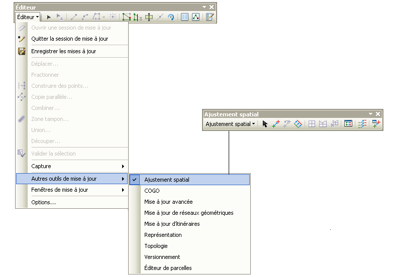
- ajustement_spatial.png
- 784×552
- //08/02/2012 14:28//
- 29.2 KB
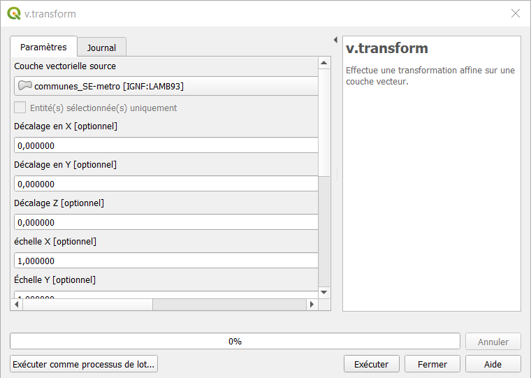
- feorefvecteur.png
- 760×541
- //30/01/2021 14:58//
- 23.5 KB
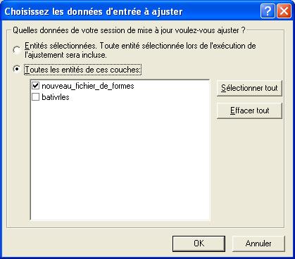
- geo_vecteur_2.jpg
- 419×368
- //23/02/2011 19:39//
- 25.3 KB
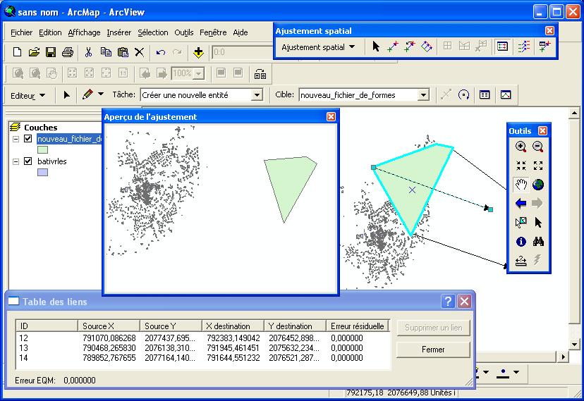
- geo_vecteur.jpg
- 828×569
- //23/02/2011 19:39//
- 101.3 KB
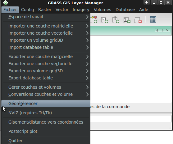
- georef1.png
- 557×466
- //18/06/2011 09:44//
- 47.7 KB
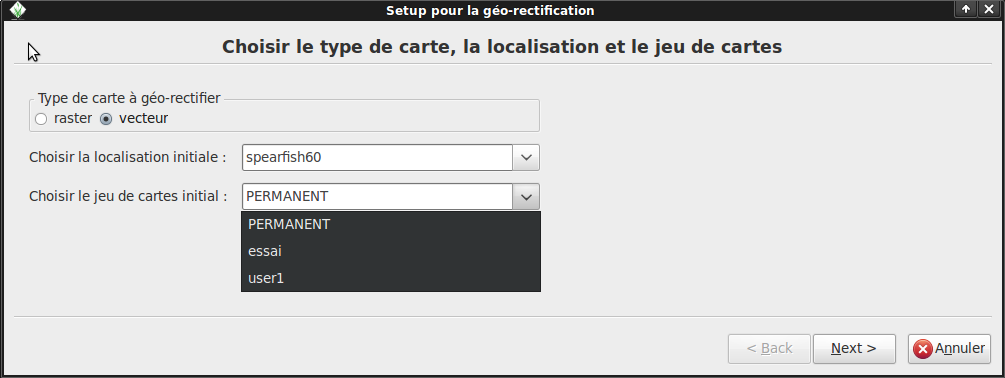
- georef2.png
- 1005×378
- //18/06/2011 09:45//
- 34.2 KB
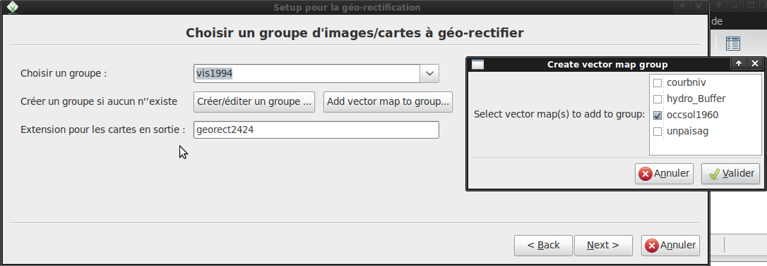
- georef3.png
- 1086×378
- //18/06/2011 09:46//
- 49.6 KB
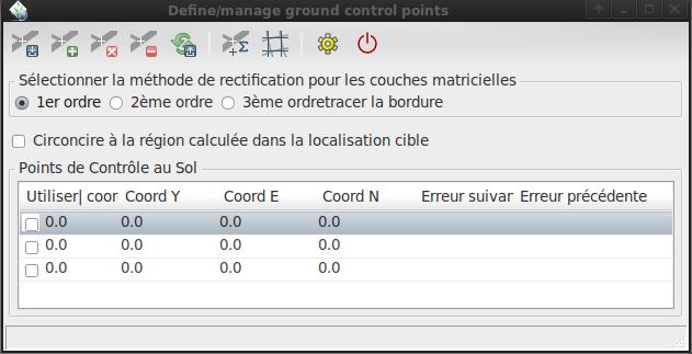
- georef4.png
- 631×323
- //18/06/2011 09:49//
- 30 KB

- georef5.png
- 31×38
- //18/06/2011 09:49//
- 983 B

- georef6.png
- 187×32
- //18/06/2011 09:49//
- 2.4 KB

- georef7.png
- 37×34
- //18/06/2011 09:50//
- 752 B
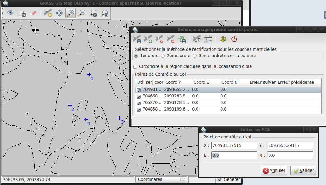
- georef8.png
- 1045×596
- //18/06/2011 09:50//
- 92.3 KB
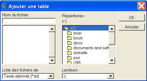
- georeferencement.jpg
- 479×263
- //23/02/2011 19:39//
- 57.5 KB

- icone_lien_geref_vecteur.jpg
- 31×30
- //23/02/2011 19:39//
- 885 B

- icone_table_liens.jpg
- 34×32
- //23/02/2011 19:39//
- 1.1 KB

- map_georef_0.png
- 678×171
- //16/03/2017 09:50//
- 12.3 KB
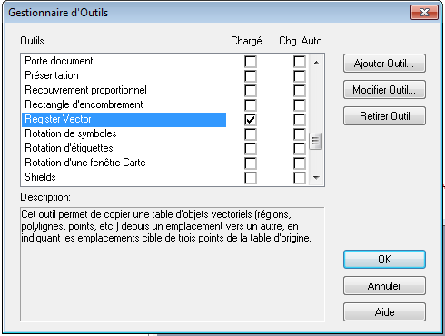
- map_georef_1.0.png
- 490×370
- //17/03/2017 14:32//
- 13.7 KB
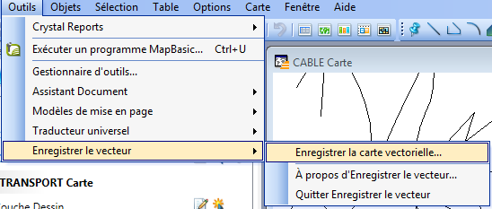
- map_georef_1.1.png
- 548×233
- //17/03/2017 14:32//
- 22.1 KB
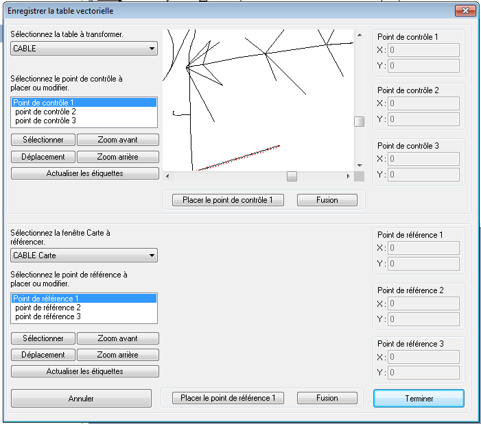
- map_georef_1.2.png
- 701×619
- //17/03/2017 14:32//
- 27.1 KB
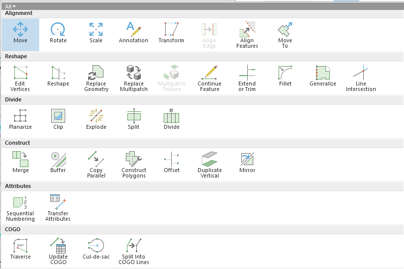
- outil_modif_vect.png
- 812×541
- //31/01/2021 22:20//
- 40.3 KB

- outils_edition_vect.png
- 1597×126
- //31/01/2021 22:13//
- 31.6 KB
Fichier
- Voir
- Historique
- Date :
- //18/06/2011 09:46//
- Nom de fichier :
- georef3.png
- Format :
- PNG
- Taille :
- 50KB
- Largeur :
- 1086
- Hauteur :
- 378
- Utilisé sur:
- grass
fonctions/integration/georeferencement/vecteurs/qgis3.txt · Dernière modification : //19/05/2019 21:36// de andre


