fonctions:integration:georeferencement:vecteurs:qgis3
Gestionnaire Multimédia
Catégories
Choisissez une catégorie
Sélection de fichiers
- Sélection de fichiers
- Envoyer
- Rechercher
Fichiers dans fonctions:integration:digitalisation:autres_transformations_d_entites
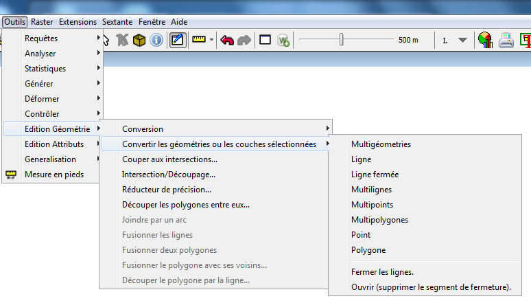
- 1.png
- 774×441
- //26/02/2015 15:07//
- 70.1 KB
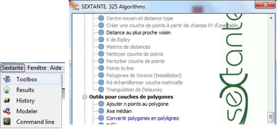
- 2.png
- 897×434
- //26/02/2015 15:12//
- 278.3 KB
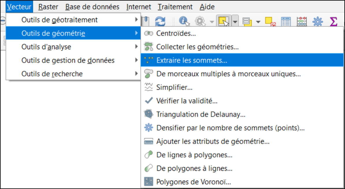
- a1.png
- 1194×653
- //03/02/2019 15:56//
- 212.4 KB
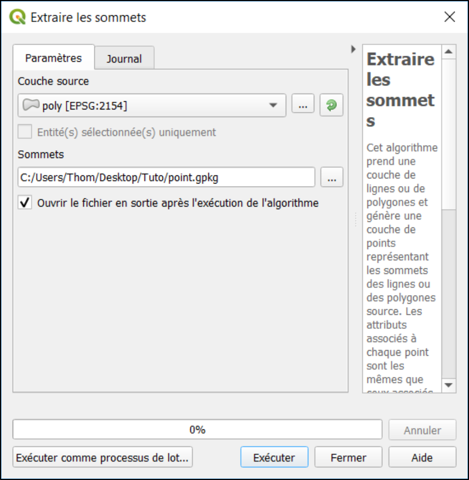
- a2.png
- 919×939
- //03/02/2019 15:56//
- 184.6 KB
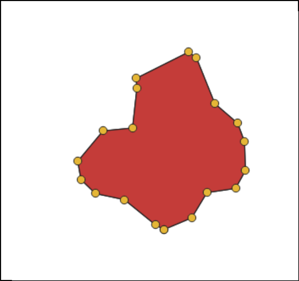
- a3.png
- 589×553
- //03/02/2019 16:13//
- 31.6 KB
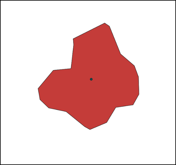
- a4.png
- 589×553
- //03/02/2019 16:13//
- 18 KB
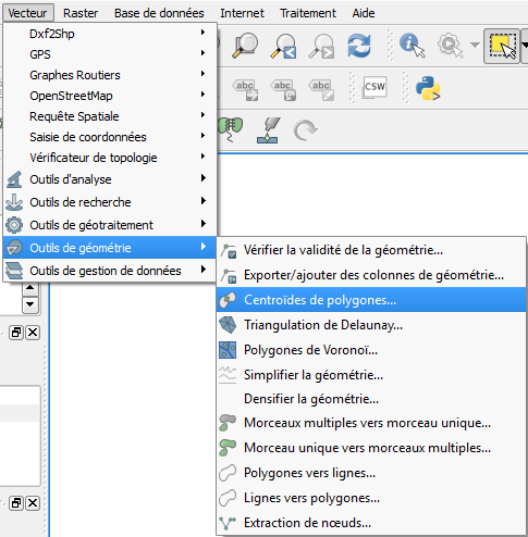
- centroide_polygone.png
- 485×494
- //15/11/2015 17:37//
- 48.5 KB
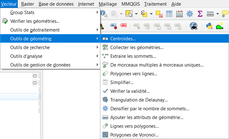
- centroides.png
- 735×445
- //30/01/2021 12:07//
- 43 KB
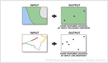
- entite_vers_point.jpg
- 363×211
- //23/02/2011 19:38//
- 10.3 KB
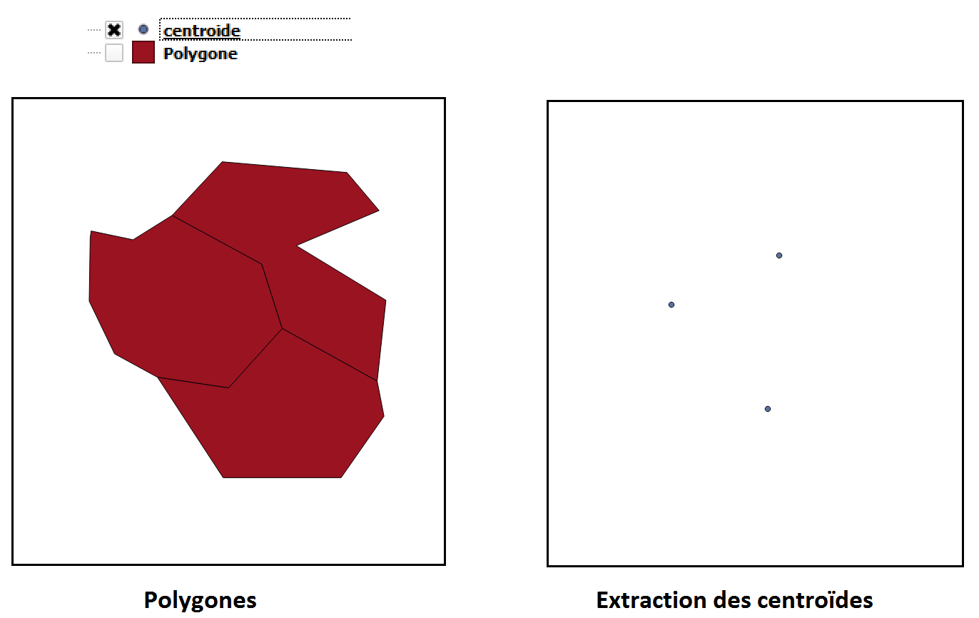
- extraction_des_centroide_ex.png
- 1372×866
- //15/11/2015 17:35//
- 30.3 KB
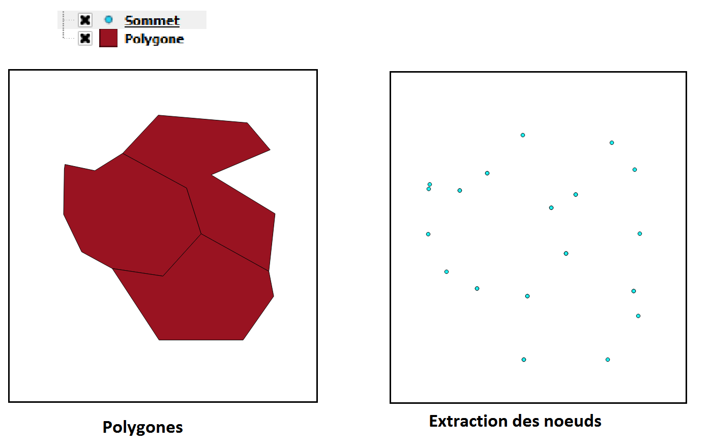
- extraction_des_noeuds_ex.png
- 1398×882
- //15/11/2015 17:36//
- 34.3 KB
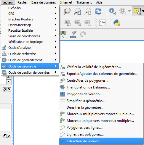
- extraction_des_noeuds.png
- 486×490
- //15/11/2015 17:35//
- 48.5 KB
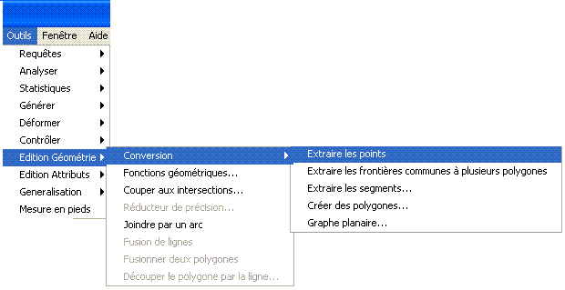
- extraire.gif
- 620×319
- //23/02/2011 19:38//
- 8.2 KB

- fenetre_mapbasic_11_polypoint.jpg
- 624×98
- //31/01/2012 14:41//
- 13.2 KB
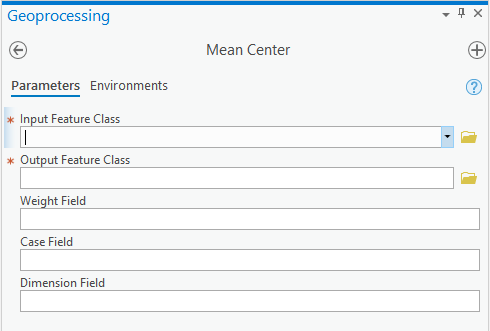
- geotraitement_centre_moyen.png
- 490×331
- //23/01/2020 10:26//
- 8.7 KB
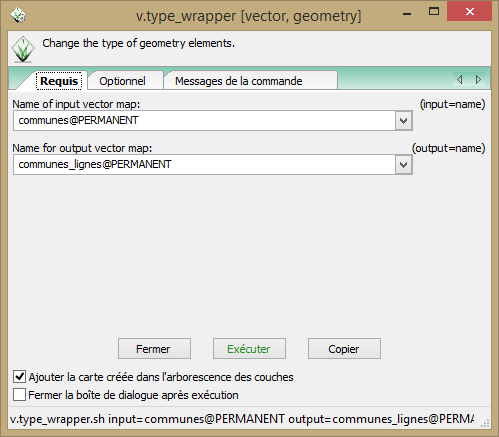
- grass_autres_transfo1.png
- 499×437
- //09/12/2014 22:51//
- 20.3 KB

- grass_autres_transfo2.png
- 390×346
- //09/12/2014 22:51//
- 77 KB

- mapbasic_icone_11.jpg
- 429×122
- //31/01/2012 14:18//
- 7.8 KB

- outil_centre_moyen.png
- 481×96
- //23/01/2020 10:23//
- 5.4 KB
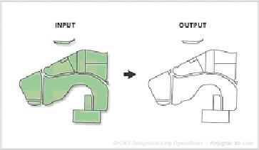
- polygone_vers_ligne.jpg
- 363×211
- //23/02/2011 19:38//
- 9.4 KB
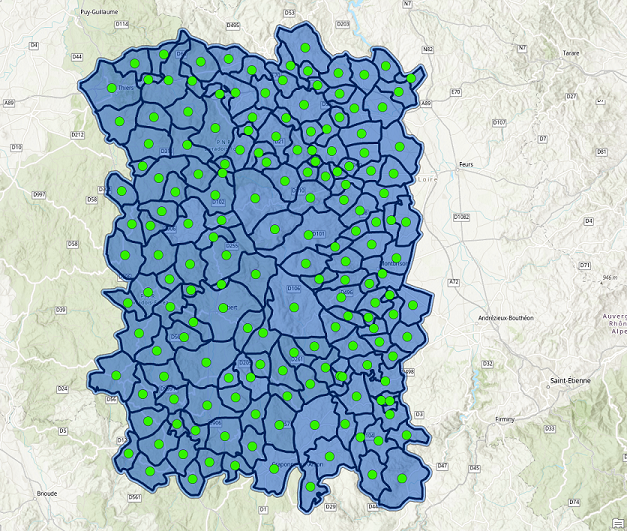
- rendu_centre_moyen.png
- 627×531
- //23/01/2020 10:29//
- 694.4 KB
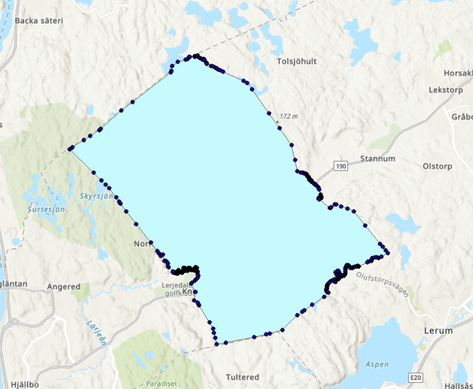
- resultatsommet.png
- 669×551
- //19/02/2019 13:14//
- 379.4 KB
- screen_geo_3.1.jpg
- 210×178
- //21/02/2023 19:13//
- 13.8 KB
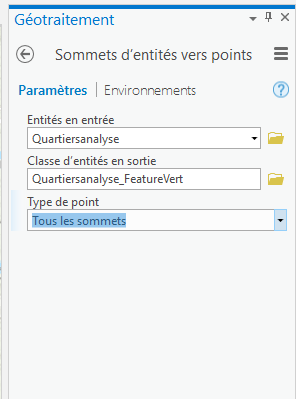
- sommet_vers_point.png
- 296×399
- //19/02/2019 13:13//
- 9.8 KB
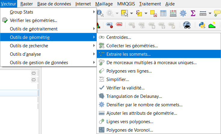
- sommets_extraction.png
- 735×445
- //30/01/2021 12:04//
- 43.6 KB
Fichier
fonctions/integration/georeferencement/vecteurs/qgis3.txt · Dernière modification : //19/05/2019 21:36// de andre


