fonctions:structuration:mode:orbisgis
Gestionnaire Multimédia
Catégories
Choisissez une catégorie
Sélection de fichiers
- Sélection de fichiers
- Envoyer
- Rechercher
Fichiers dans undefined

- 61wnpqjg9jl.png
- 512×512
- //02/06/2018 13:59//
- 66.7 KB
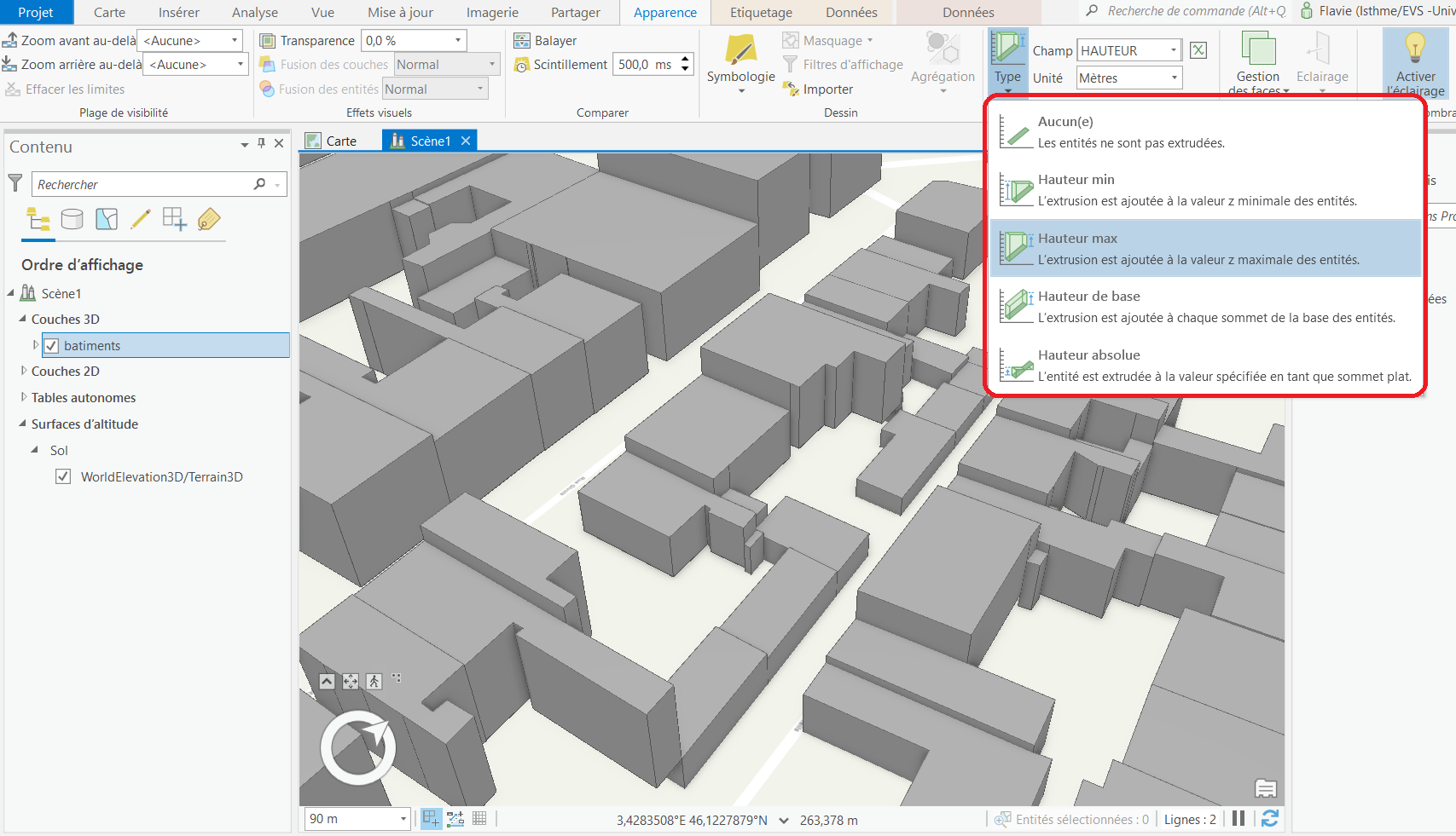
- 111.png
- 1707×981
- //10/02/2022 15:51//
- 287.6 KB
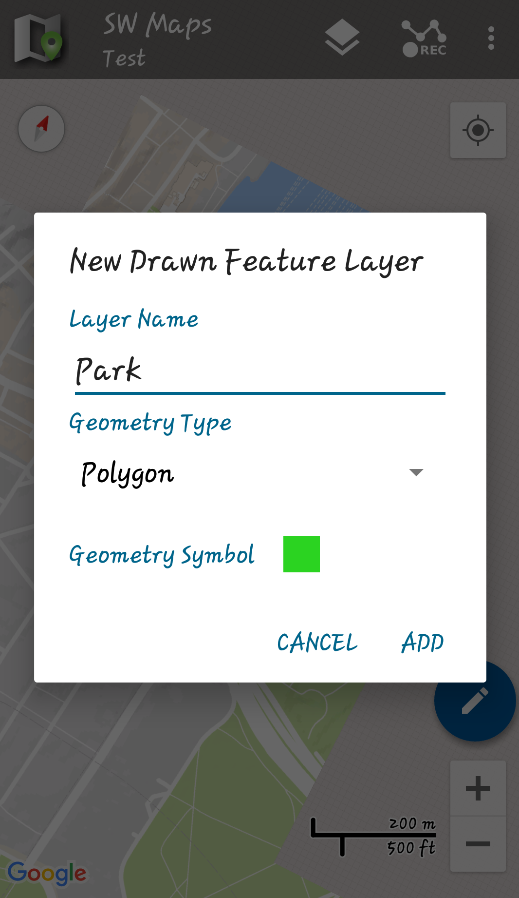
- 28693455_1891861474458232_1199807905_o.png
- 1066×1842
- //17/03/2018 11:53//
- 796.7 KB
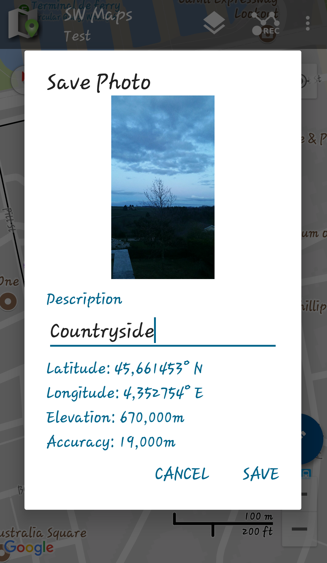
- 28694139_1891861804458199_34968934_o.png
- 1070×1840
- //17/03/2018 11:53//
- 697.4 KB
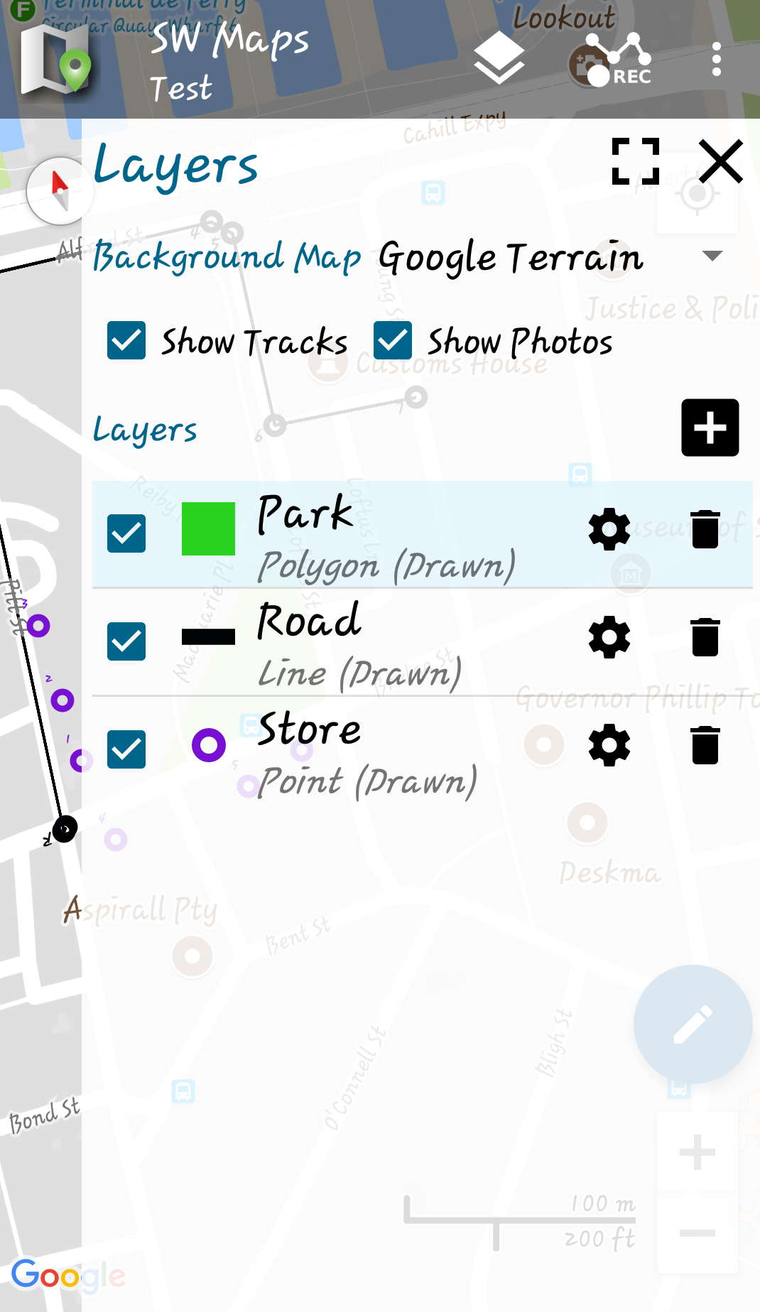
- 28695328_1891861874458192_91802343_o.png
- 1070×1847
- //17/03/2018 11:53//
- 581.8 KB
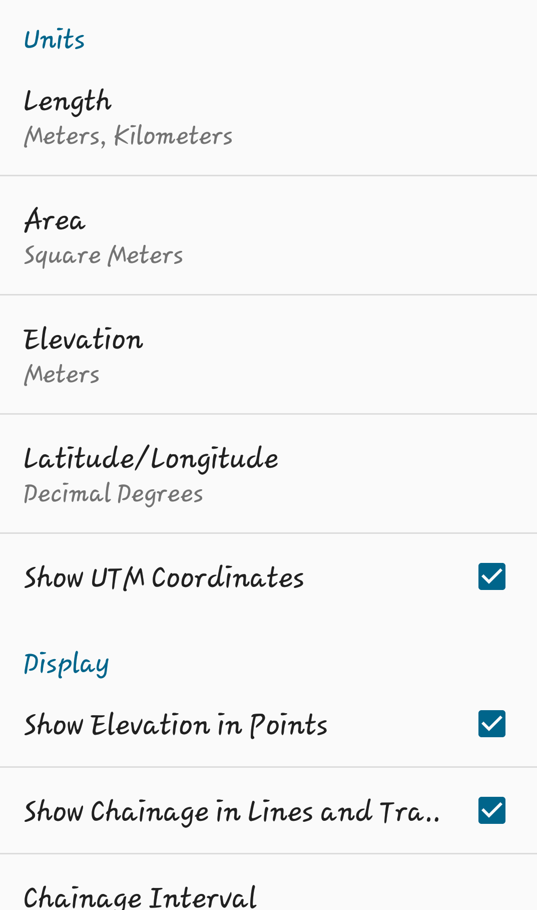
- 28767674_1891861377791575_1356348048_o.png
- 1073×1817
- //17/03/2018 11:53//
- 155.2 KB
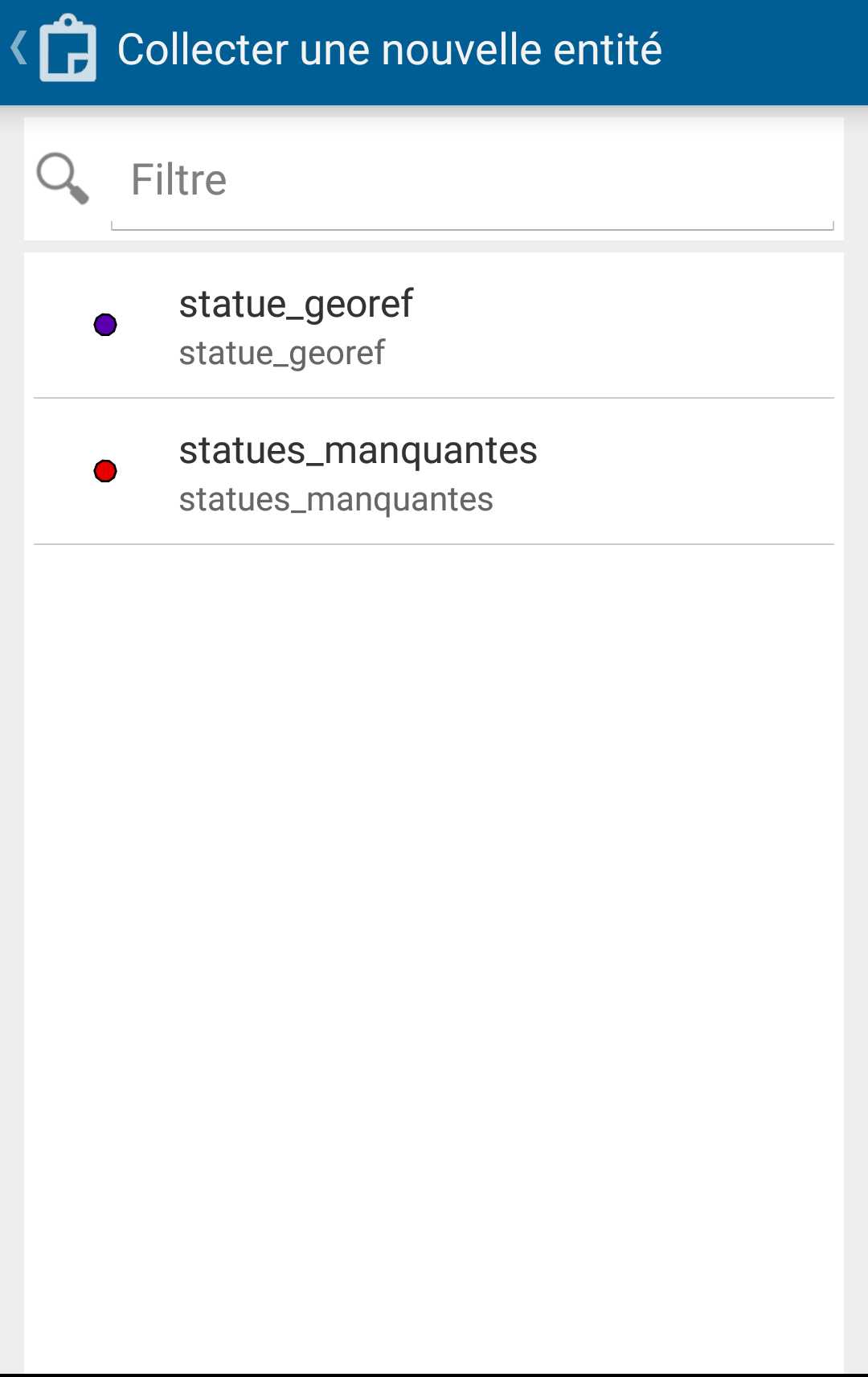
- 34134439_10212360700078057_2378037539693920256_n.png
- 1080×1713
- //02/06/2018 14:44//
- 53.8 KB

- 34155926_10212360698758024_5729681703681654784_n.png
- 1080×1718
- //02/06/2018 14:44//
- 57.7 KB
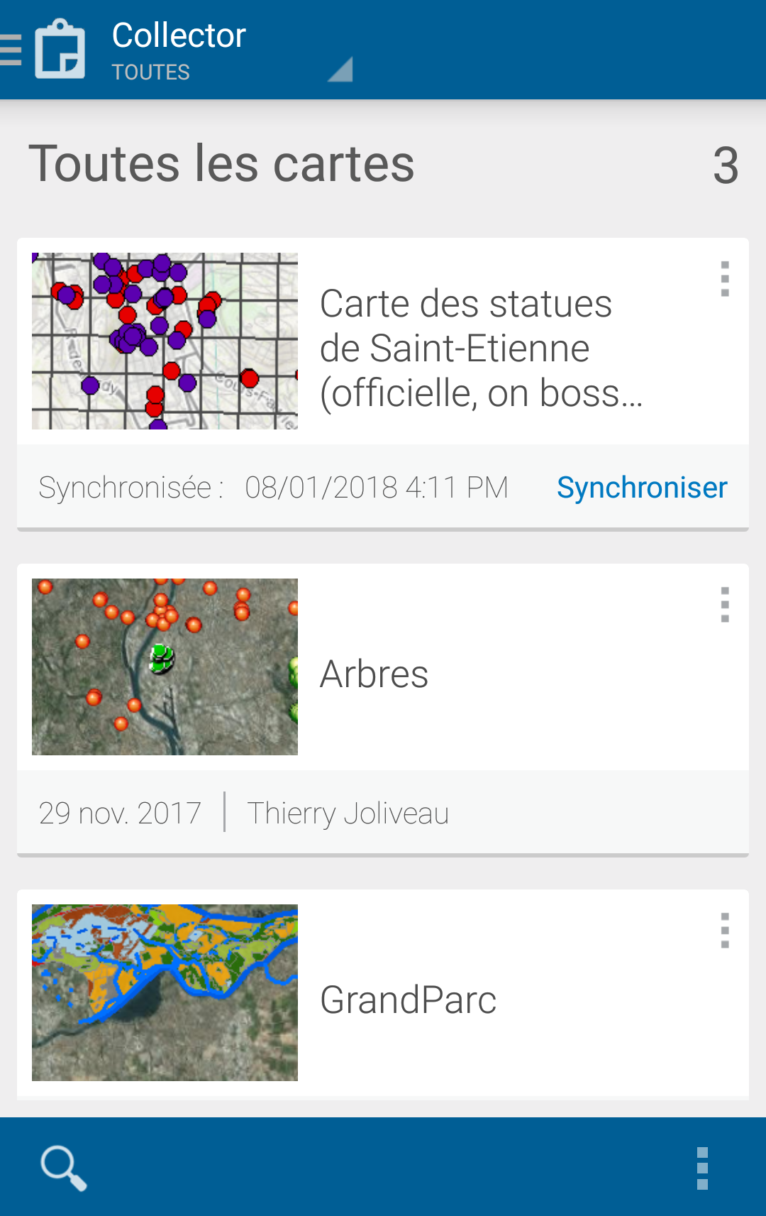
- 34341778_10212360699718048_7369769700722475008_n.png
- 1080×1713
- //02/06/2018 14:44//
- 538.8 KB
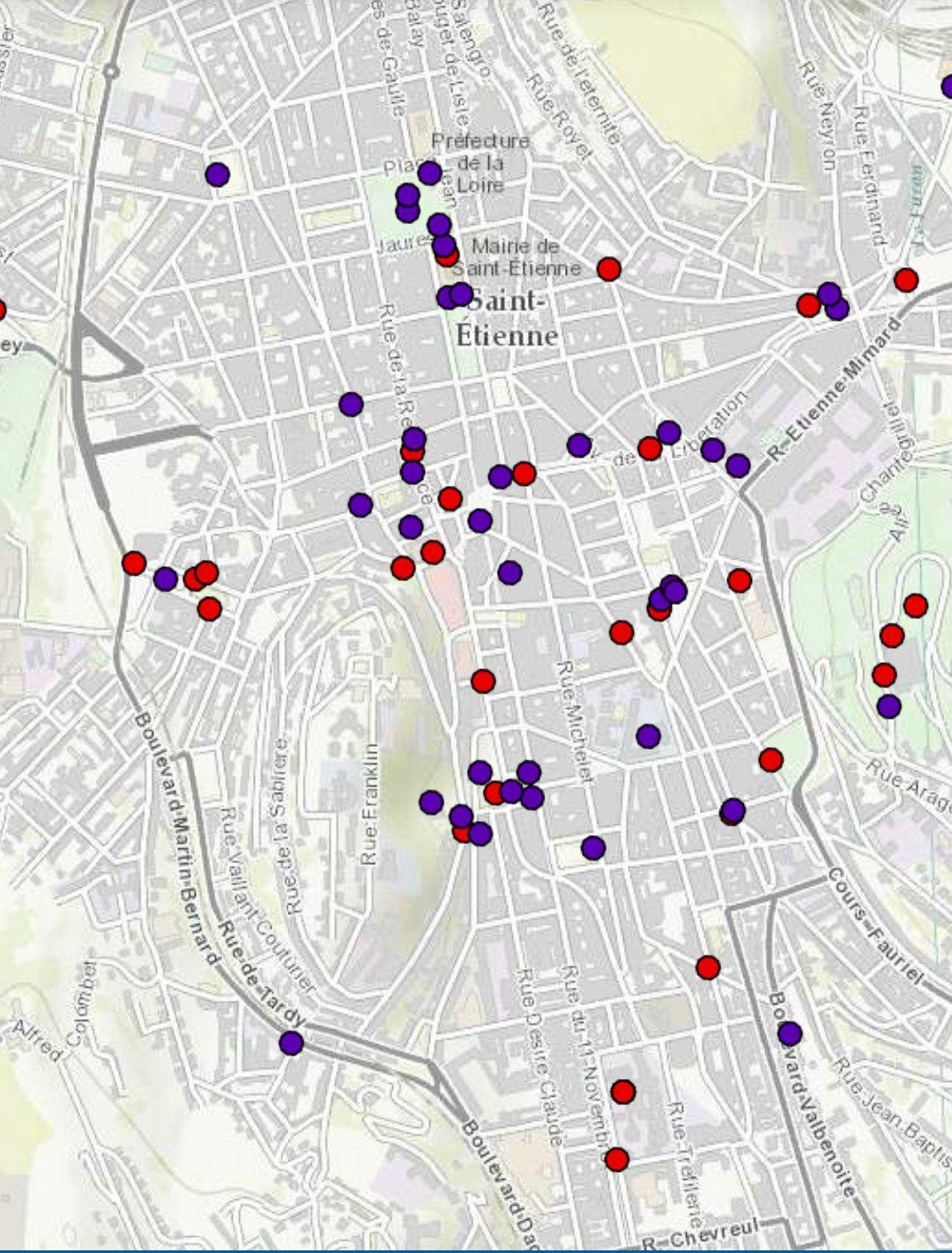
- 34380061_10212360744919178_3255001099110711296_n.jpg
- 1080×1421
- //02/06/2018 14:46//
- 249.1 KB
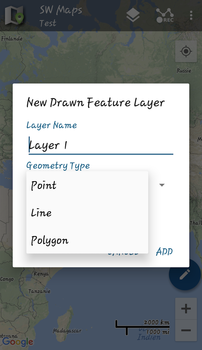
- capture_d_e_cran_2018-03-17_a_11.57.37.png
- 820×1417
- //17/03/2018 11:58//
- 748 KB
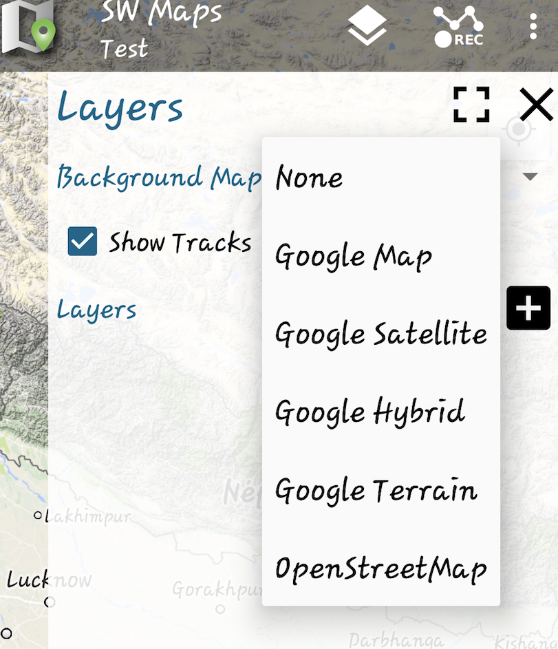
- capture_d_e_cran_2018-03-17_a_12.00.05.png
- 811×943
- //17/03/2018 12:10//
- 931.8 KB
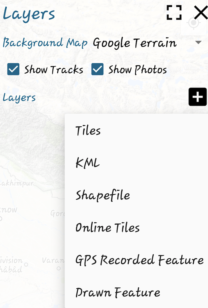
- capture_d_e_cran_2018-03-17_a_12.14.44.png
- 718×1060
- //17/03/2018 12:15//
- 666.9 KB
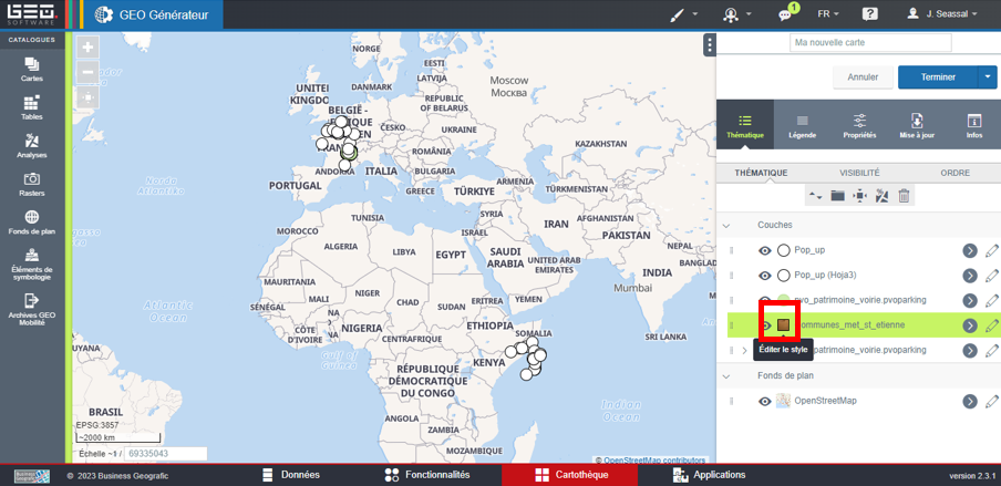
- discret1geo.png
- 904×439
- //15/02/2023 10:37//
- 268.9 KB
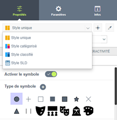
- discret2geo.png
- 231×237
- //15/02/2023 10:38//
- 21.3 KB
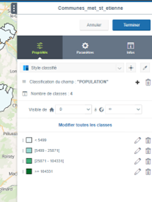
- discret3geo.png
- 215×286
- //15/02/2023 10:39//
- 34.2 KB
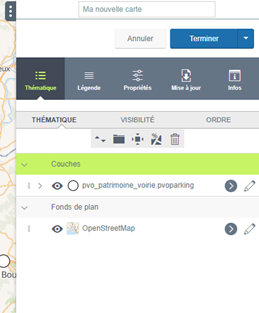
- discret4geo.png
- 259×313
- //15/02/2023 10:39//
- 34.2 KB

- discret5geo.png
- 987×1561
- //15/02/2023 10:40//
- 364.8 KB
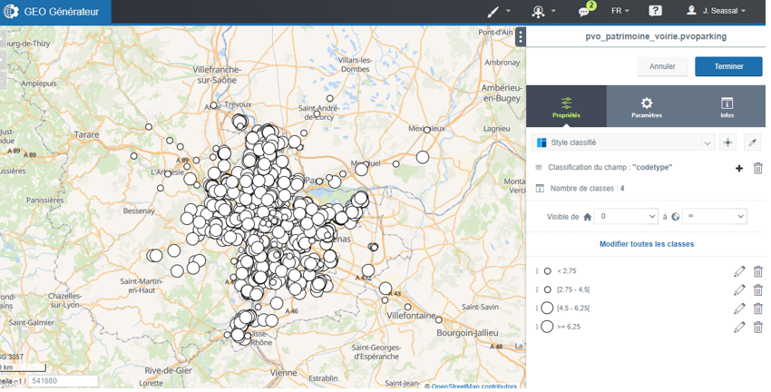
- discret6geo.png
- 850×432
- //15/02/2023 10:40//
- 466.2 KB
- essais_de_definition.pdf
- //16/09/2023 10:59//
- 281.2 KB
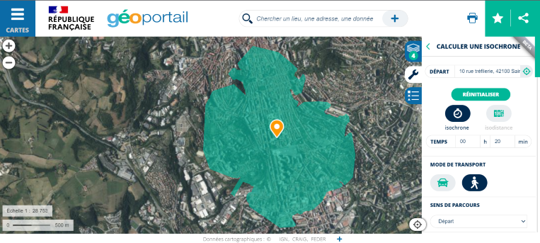
- geoportail_isochrone.png
- 763×343
- //15/03/2023 15:21//
- 390.4 KB
- gestion_des_reseaux.pdf
- //31/01/2021 22:54//
- 464.6 KB
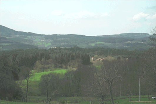
- realite.png
- 530×353
- //18/09/2023 17:32//
- 281.1 KB

- screenshot_20180425-155332.jpg
- 1080×1920
- //25/04/2018 16:02//
- 225.3 KB
Fichier
- Voir
- Historique
- Date :
- //25/03/2011 16:46//
- Nom de fichier :
- gvsig1.png
- Format :
- PNG
- Taille :
- 32KB
- Largeur :
- 559
- Hauteur :
- 568
- Utilisé sur:
- gvsig
fonctions/structuration/mode/orbisgis.txt · Dernière modification : //26/03/2011 10:30// de reali


