fonctions:transformation:donneesvarspatialecontinue:qgis
Gestionnaire Multimédia
Catégories
Choisissez une catégorie
Sélection de fichiers
- Sélection de fichiers
- Envoyer
- Rechercher
Fichiers dans fonctions:transformation:traitementsgeo
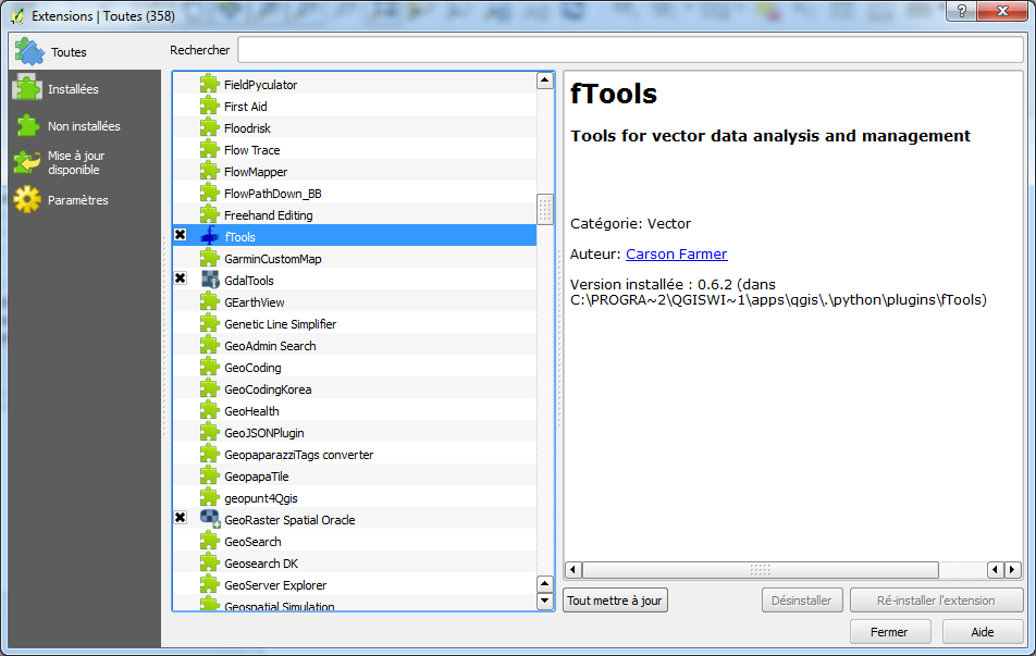
- 1.png
- 952×603
- //15/01/2016 16:21//
- 113.2 KB
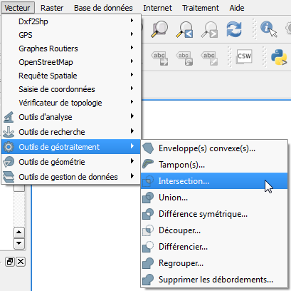
- 2.png
- 409×408
- //15/01/2016 16:32//
- 36.2 KB
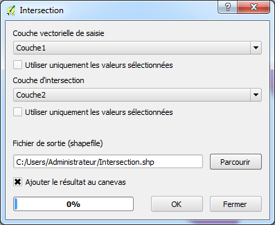
- 3.png
- 397×325
- //15/01/2016 16:35//
- 26.4 KB
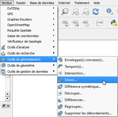
- 4.png
- 405×404
- //15/01/2016 16:35//
- 35.4 KB
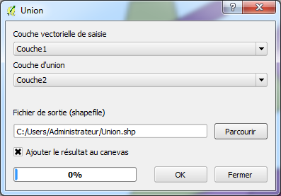
- 5.png
- 397×277
- //15/01/2016 16:35//
- 32 KB
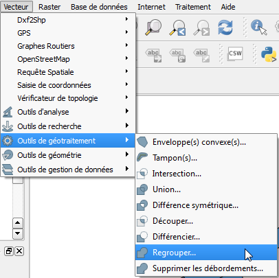
- 6.png
- 406×405
- //15/01/2016 16:35//
- 36.2 KB
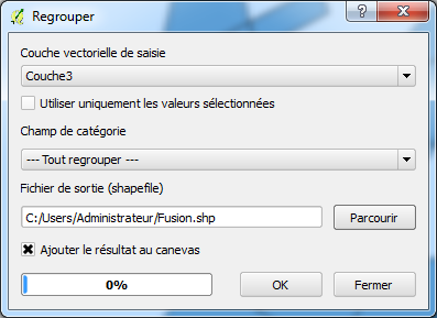
- 7.png
- 397×289
- //15/01/2016 16:35//
- 34.3 KB
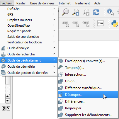
- 8.png
- 406×406
- //15/01/2016 16:35//
- 35.8 KB
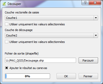
- 9.png
- 397×325
- //15/01/2016 16:35//
- 34 KB
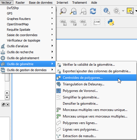
- 10.png
- 482×492
- //15/01/2016 16:35//
- 45.9 KB
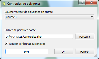
- 11.png
- 397×240
- //15/01/2016 16:35//
- 31.8 KB
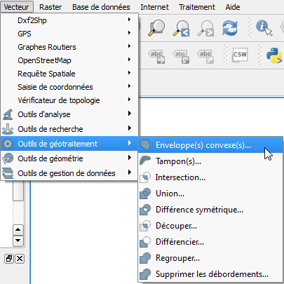
- 13.png
- 405×405
- //15/01/2016 16:35//
- 35.7 KB
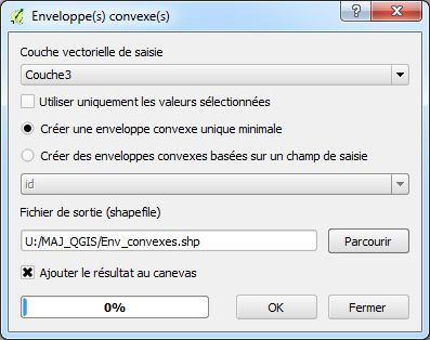
- 14.png
- 397×314
- //15/01/2016 16:35//
- 26.9 KB
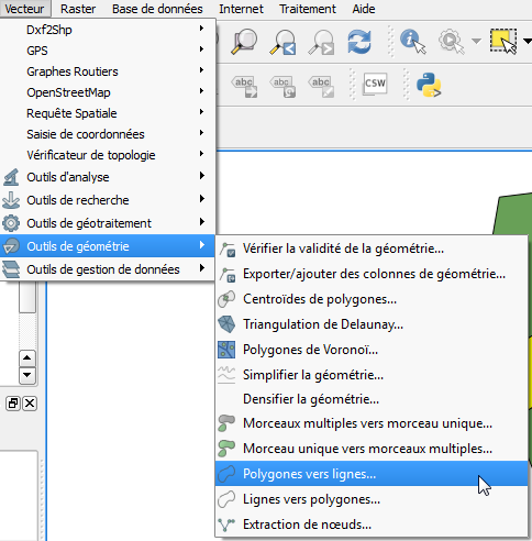
- 15.png
- 484×492
- //15/01/2016 16:35//
- 47.3 KB
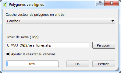
- 16.png
- 397×240
- //15/01/2016 16:35//
- 21.3 KB
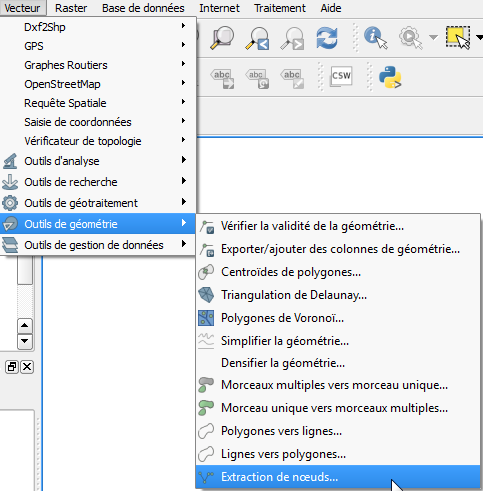
- 17.png
- 483×491
- //15/01/2016 16:35//
- 45.9 KB
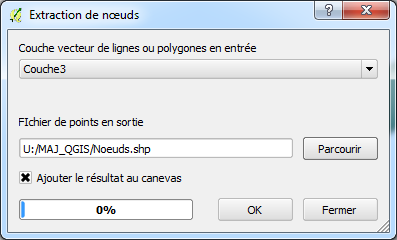
- 18.png
- 397×240
- //15/01/2016 16:35//
- 22.4 KB

- barre_outil_fenetre_sortie.jpg
- 775×30
- //23/02/2011 19:37//
- 8 KB
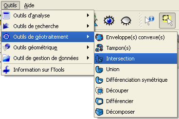
- barre_outil_intersection.png
- 368×246
- //23/02/2011 19:37//
- 18.8 KB
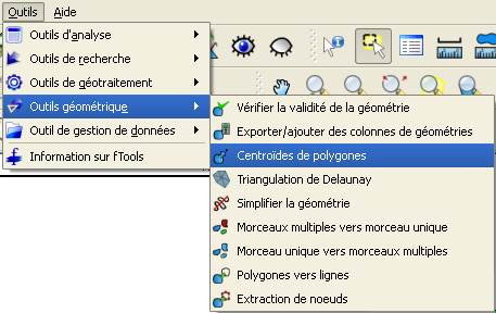
- centroides.png
- 457×288
- //23/02/2011 19:37//
- 26 KB
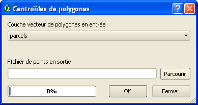
- centroides2.png
- 389×206
- //23/02/2011 19:37//
- 10.2 KB
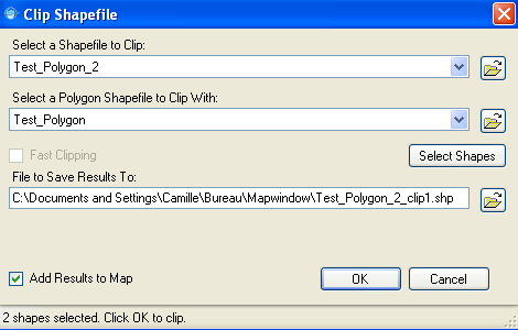
- clip_shapefile.png
- 470×300
- //23/02/2011 19:37//
- 20.6 KB
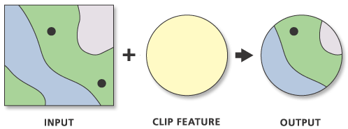
- clip.gif
- 498×186
- //23/02/2011 19:37//
- 10.7 KB
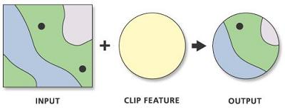
- clip.jpg
- 400×152
- //23/02/2011 19:37//
- 8.5 KB
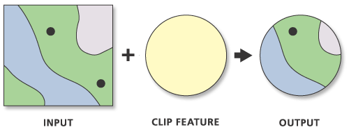
- clip.png
- 500×190
- //23/02/2011 19:37//
- 12.3 KB
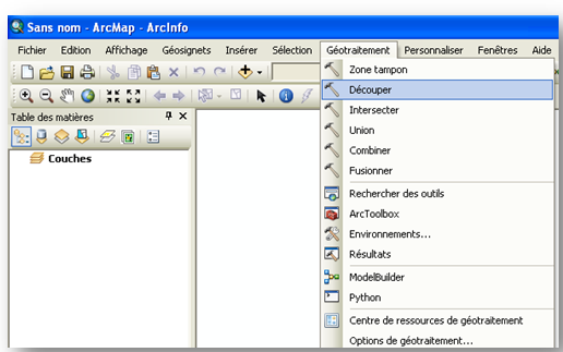
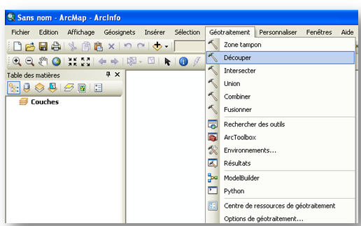
- decoupage.png
- 516×323
- //14/02/2012 13:13//
- 69.9 KB
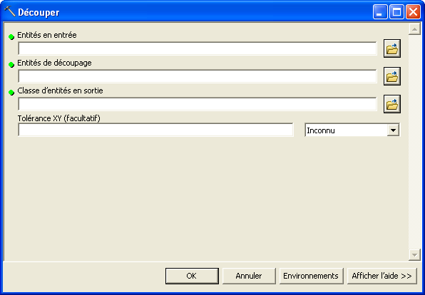
- decoupage1.png
- 596×414
- //14/02/2012 13:14//
- 16.7 KB
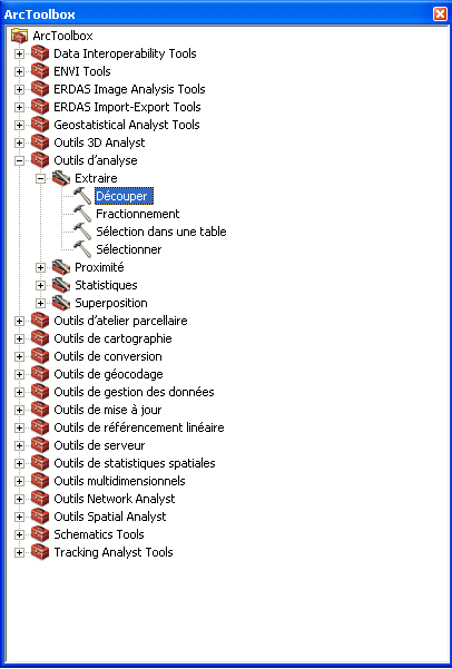
- decoupage2.png
- 406×601
- //14/02/2012 13:53//
- 21.2 KB
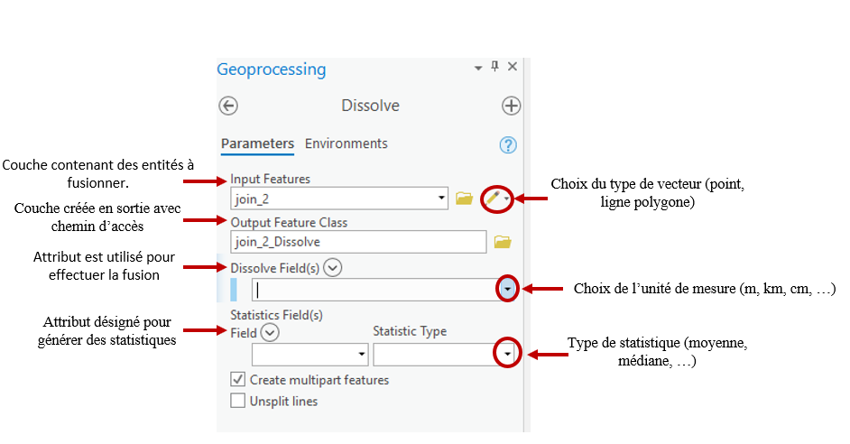
- dissolve_vf.png
- 942×492
- //23/01/2020 10:54//
- 76.6 KB

- dissolve.gif
- 494×153
- //23/02/2011 19:37//
- 11.2 KB
- dissolve.png
- 289×166
- //23/01/2020 10:31//
- 5 KB
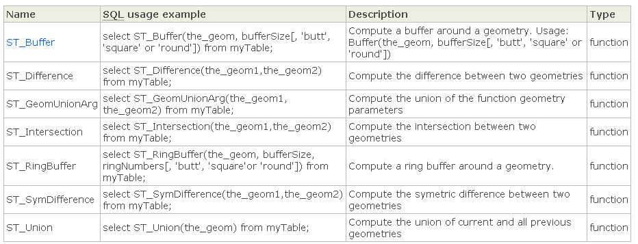
- ensembes_de_operateus_geom.png
- 932×357
- //30/03/2011 12:39//
- 25.8 KB
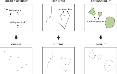
- entite_point_arcgis.png
- 450×287
- //28/01/2021 21:33//
- 31.5 KB

- erase.gif
- 460×153
- //23/02/2011 19:37//
- 6.9 KB
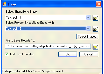
- erase.png
- 401×287
- //23/02/2011 19:37//
- 22.2 KB
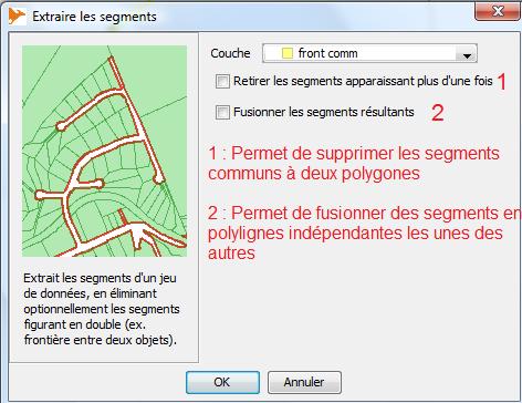
- extraire_segments.jpg
- 472×364
- //23/02/2011 19:37//
- 38.9 KB
- fenetre_sortie.jpg
- 494×299
- //23/02/2011 19:37//
- 21.8 KB
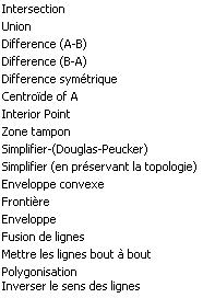
- fonction_geometriques_listes.jpg
- 186×272
- //23/02/2011 19:37//
- 14.9 KB
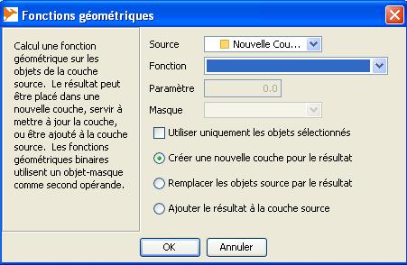
- fonctions_geometriques.jpg
- 451×294
- //23/02/2011 19:37//
- 32.5 KB
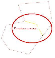
- frontiere_commune_bis.jpg
- 221×235
- //23/02/2011 19:37//
- 6.8 KB

- fusion.jpg
- 400×125
- //23/02/2011 19:37//
- 9.1 KB
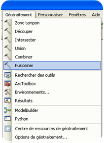
- fusion.png
- 211×289
- //14/02/2012 14:37//
- 28.9 KB
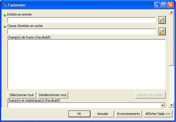
- fusion1.png
- 597×415
- //14/02/2012 14:37//
- 17 KB
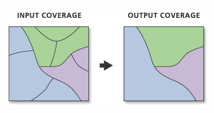
- fusionner.png
- 419×221
- //23/01/2020 09:43//
- 8.7 KB
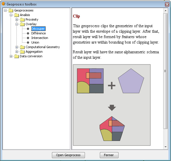
- geometrie.jpg
- 596×562
- //23/02/2011 19:37//
- 95.5 KB
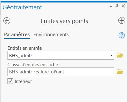
- geot_entite_point.jpg
- 410×328
- //28/01/2021 21:42//
- 24.8 KB
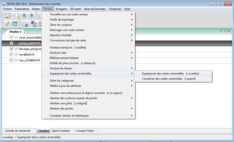
- grass_traitements_1.jpg
- 932×567
- //21/04/2015 10:35//
- 82.7 KB
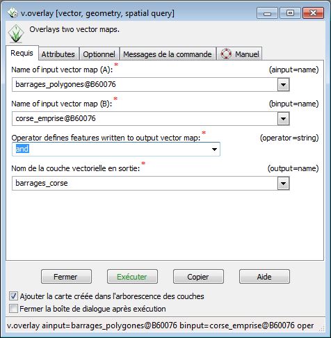
- grass_traitements_2.jpg
- 476×486
- //21/04/2015 10:35//
- 53.5 KB
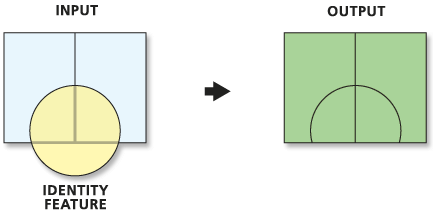
- identity.gif
- 433×216
- //23/02/2011 19:37//
- 7.3 KB
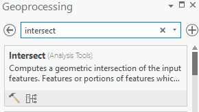
- intersect_geoprocessing.png
- 290×164
- //22/01/2020 11:21//
- 5.3 KB
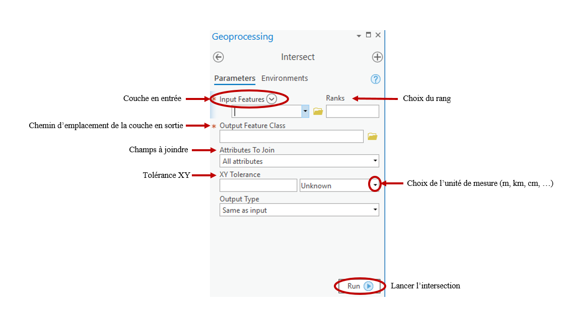
- intersect_vf.png
- 1124×629
- //22/01/2020 11:23//
- 72.3 KB
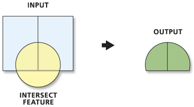
- intersect.gif
- 392×216
- //23/02/2011 19:37//
- 6.9 KB
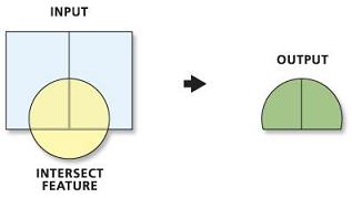
- intersect.jpg
- 317×179
- //23/02/2011 19:37//
- 6 KB
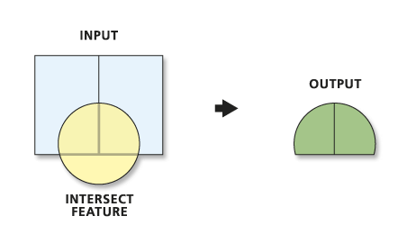
- intersect.png
- 452×260
- //22/01/2020 10:42//
- 9.3 KB
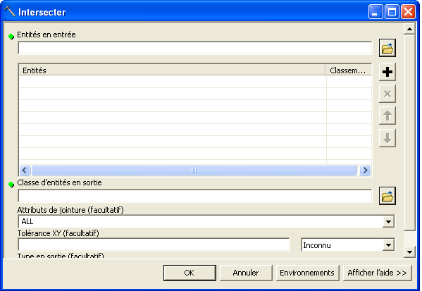
- intersection_1.png
- 599×413
- //14/02/2012 14:09//
- 18 KB
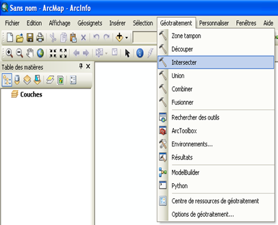
- intersection.png
- 406×329
- //14/02/2012 14:08//
- 60 KB
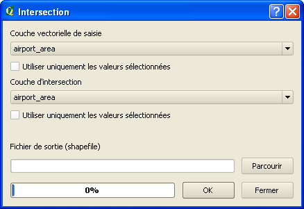
- intersection2_qgis.png
- 438×301
- //23/02/2011 19:37//
- 11.7 KB
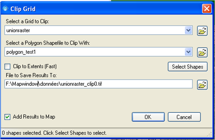
- mapwindow_clip_grid.png
- 746×486
- //23/02/2011 19:37//
- 126.3 KB
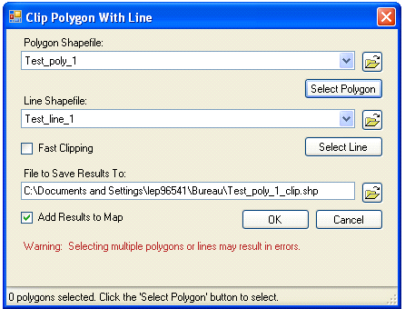
- mapwindow_clip_polygon_with_line.png
- 446×340
- //23/02/2011 19:37//
- 28.2 KB
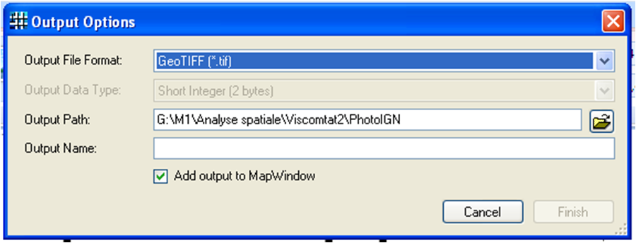
- mapwindow_merge_grid_2.png
- 900×344
- //23/02/2011 19:37//
- 89.5 KB
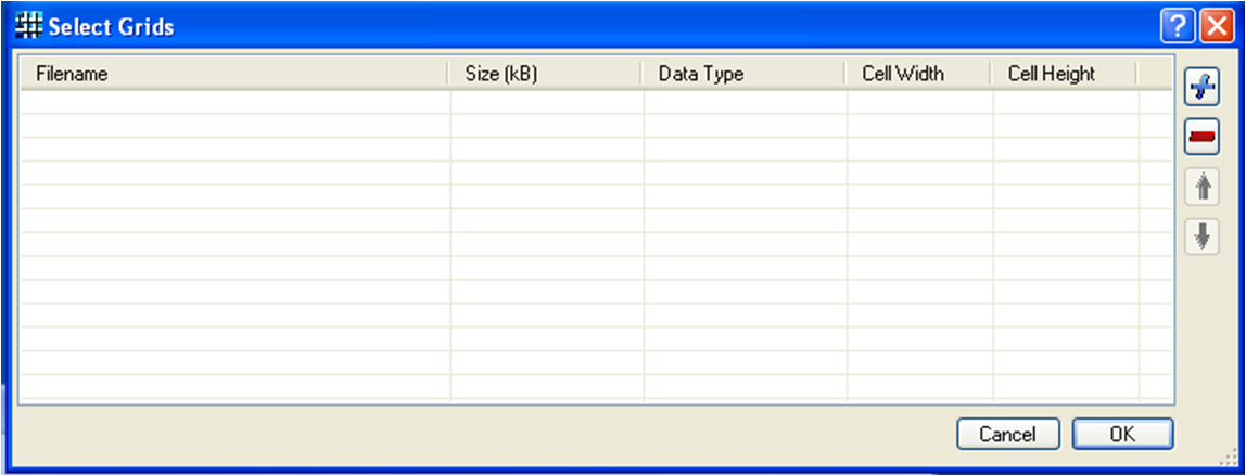
- mapwindow_merge_grid.png
- 1148×439
- //23/02/2011 19:37//
- 74 KB
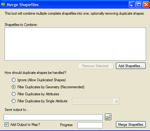
- mapwindow_merge_shapefiles.png
- 489×429
- //23/02/2011 19:37//
- 36 KB
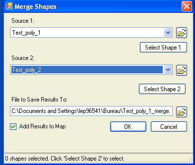
- mapwindow_merge_shapes.png
- 393×333
- //23/02/2011 19:37//
- 23.8 KB
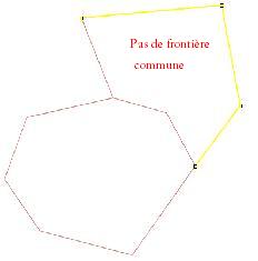
- pas_de_frontiere_bis.jpg
- 232×235
- //23/02/2011 19:37//
- 4.6 KB
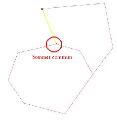
- point_commun.jpg
- 237×245
- //23/02/2011 19:37//
- 4.9 KB
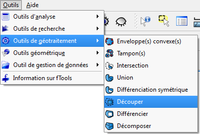
- qgis_decoupage.png
- 395×266
- //23/02/2011 19:37//
- 20.8 KB
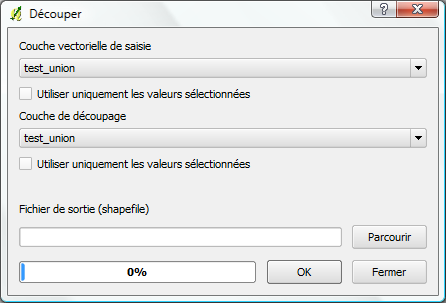
- qgis_decoupage2.png
- 446×303
- //23/02/2011 19:37//
- 16.8 KB
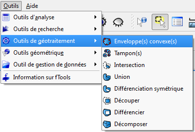
- qgis_enveloppes_convexes.png
- 396×268
- //23/02/2011 19:37//
- 20.8 KB
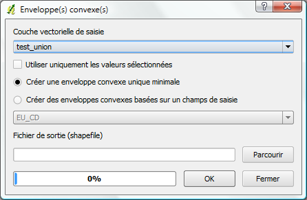
- qgis_enveloppes_convexes2.png
- 446×291
- //23/02/2011 19:37//
- 18.6 KB
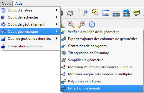
- qgis_extraction_noeud.png
- 489×316
- //23/02/2011 19:37//
- 31.1 KB
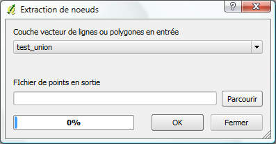
- qgis_extraction_noeud2.png
- 397×208
- //23/02/2011 19:37//
- 12.8 KB

- qgis_fusion.png
- 35×38
- //23/02/2011 19:37//
- 1.5 KB
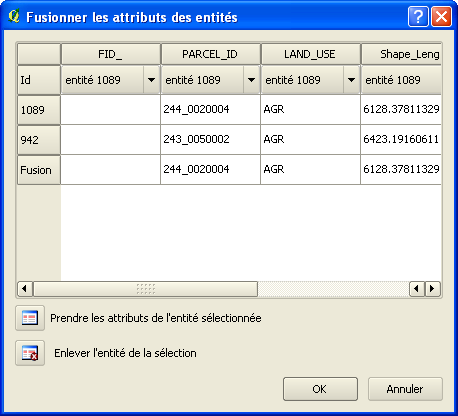
- qgis_fusion2.png
- 458×416
- //23/02/2011 19:37//
- 18 KB
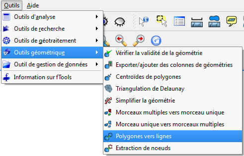
- qgis_polygones_lignes.png
- 491×315
- //23/02/2011 19:37//
- 31.2 KB
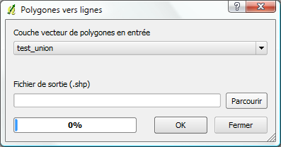
- qgis_polygones_lignes2.png
- 397×208
- //23/02/2011 19:37//
- 12.9 KB

- qgis_selection.png
- 40×39
- //23/02/2011 19:37//
- 1.4 KB
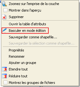
- qgsi_mode_edition.png
- 258×279
- //23/02/2011 19:37//
- 6.9 KB
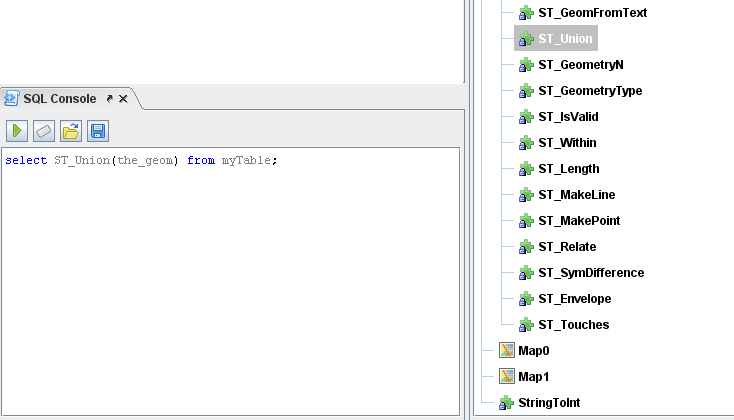
- requte_spatiales.png
- 734×420
- //30/03/2011 12:39//
- 30.7 KB
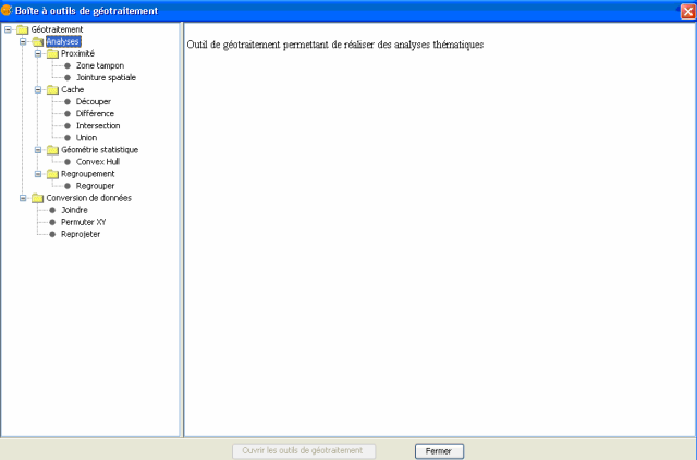
- sans_titre.png
- 640×423
- //29/03/2011 12:33//
- 33.4 KB

- selec1.png
- 37×34
- //15/01/2016 16:47//
- 1.3 KB
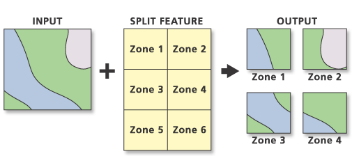
- split.gif
- 505×224
- //23/02/2011 19:37//
- 12.7 KB
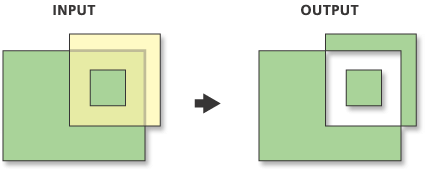
- symdiff.gif
- 425×169
- //23/02/2011 19:37//
- 5.6 KB

- tableau.png
- 780×56
- //18/06/2011 10:17//
- 4 KB
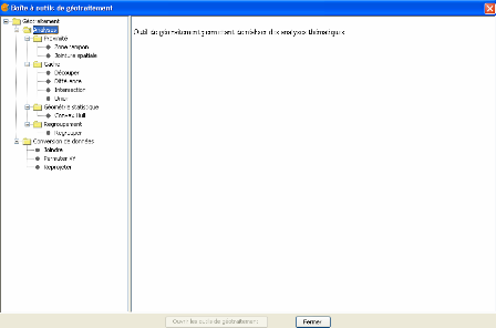
- traitements_geom.png
- 448×296
- //29/03/2011 12:28//
- 18.8 KB
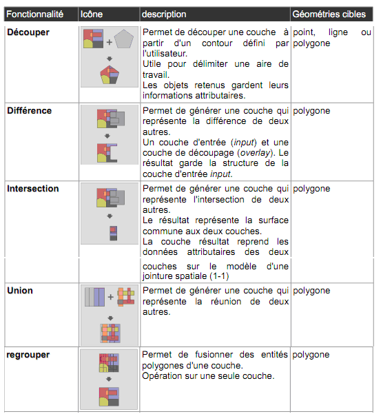
- tt.png
- 569×601
- //29/03/2011 12:29//
- 48.7 KB
- union_geoprocess.png
- 296×164
- //22/01/2020 12:00//
- 5.2 KB
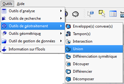
- union_qgis.png
- 396×268
- //23/02/2011 19:37//
- 21.2 KB
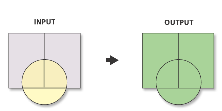
- union_zed.png
- 441×221
- //22/01/2020 11:53//
- 9.4 KB
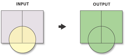
- union.gif
- 421×189
- //23/02/2011 19:37//
- 7.6 KB
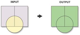
- union.jpg
- 340×151
- //23/02/2011 19:37//
- 5.9 KB
- union.png
- 213×296
- //14/02/2012 14:29//
- 28.4 KB
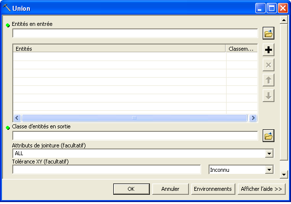
- union1.png
- 596×418
- //14/02/2012 14:30//
- 17.6 KB
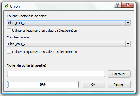
- union2-qgis.png
- 462×317
- //23/02/2011 19:37//
- 17.7 KB
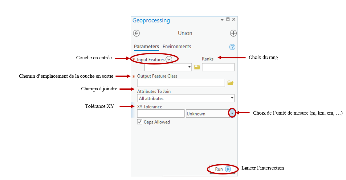
- unionvf.png
- 1123×586
- //22/01/2020 12:01//
- 69.1 KB
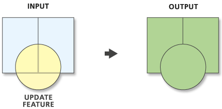
- update.gif
- 441×216
- //23/02/2011 19:37//
- 8.2 KB
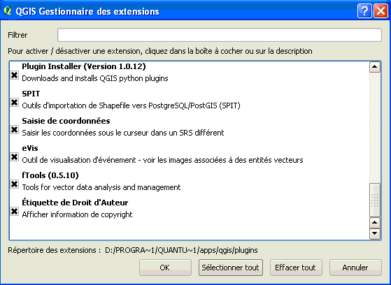
- yy.png
- 559×408
- //29/03/2011 12:42//
- 15.8 KB
Fichier
- Voir
- Historique
- Date :
- //14/02/2012 13:13//
- Nom de fichier :
- decoupage.png
- Format :
- PNG
- Taille :
- 70KB
- Largeur :
- 516
- Hauteur :
- 323
- Utilisé sur:
- arcgis
fonctions/transformation/donneesvarspatialecontinue/qgis.txt · Dernière modification : //28/01/2016 22:04// de forestier


