fonctions:transformation:traitementsgeo:arcgis
Gestionnaire Multimédia
Catégories
Choisissez une catégorie
Sélection de fichiers
- Sélection de fichiers
- Envoyer
- Rechercher
Fichiers dans fonctions:transformation:calculdistance
- aire_distance.png
- 578×273
- //29/03/2011 12:46//
- 41.3 KB
- aire.png
- 636×551
- //31/01/2021 23:30//
- 115 KB
- angle.png
- 646×501
- //31/01/2021 23:30//
- 97.5 KB
- arctoolbox2.jpg
- 266×182
- //12/02/2012 16:35//
- 20 KB
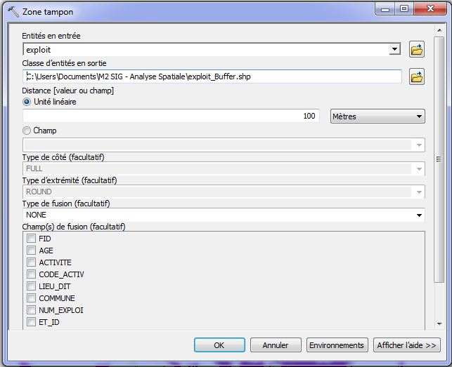
- boite_buffer.jpg
- 643×523
- //12/02/2012 17:04//
- 59.6 KB

- bouton.gif
- 20×19
- //23/02/2011 19:37//
- 947 B
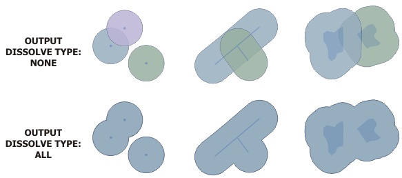
- buffagpro1.jpg
- 583×258
- //08/01/2019 19:23//
- 29.1 KB
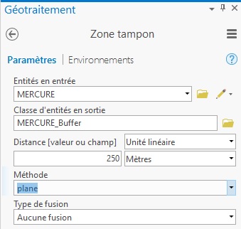
- buffagpro2.jpg
- 339×322
- //08/01/2019 19:20//
- 31.3 KB
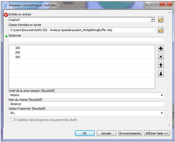
- buffer_mult.jpg
- 609×497
- //12/02/2012 17:36//
- 51.2 KB
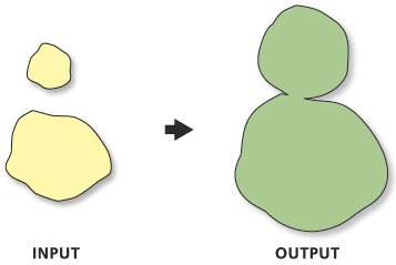
- buffer.gif
- 357×239
- //23/02/2011 19:37//
- 9.1 KB
- calc_dist.jpg
- 132×103
- //13/02/2012 12:35//
- 10.8 KB

- choix_matrice.png
- 228×48
- //23/01/2020 12:09//
- 10.7 KB
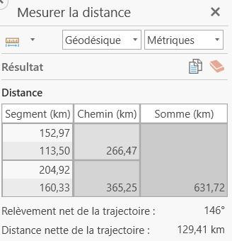
- distance_carte.jpg
- 328×340
- //30/01/2021 07:57//
- 27.6 KB
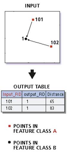
- distance_point.jpg
- 232×508
- //23/02/2011 19:37//
- 13.7 KB
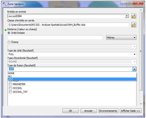
- fusion.jpg
- 612×496
- //12/02/2012 17:19//
- 53 KB
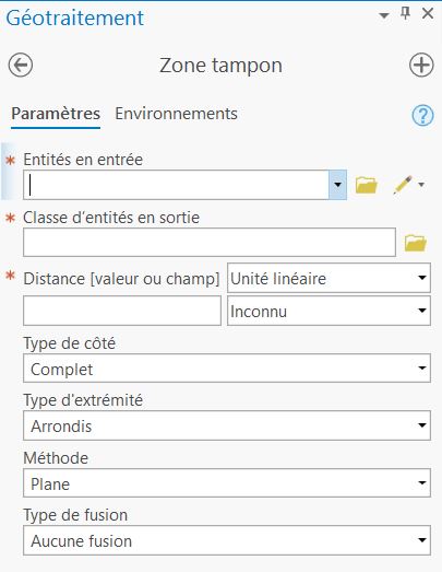
- geot_tampon.jpg
- 405×523
- //30/01/2021 08:24//
- 37.7 KB
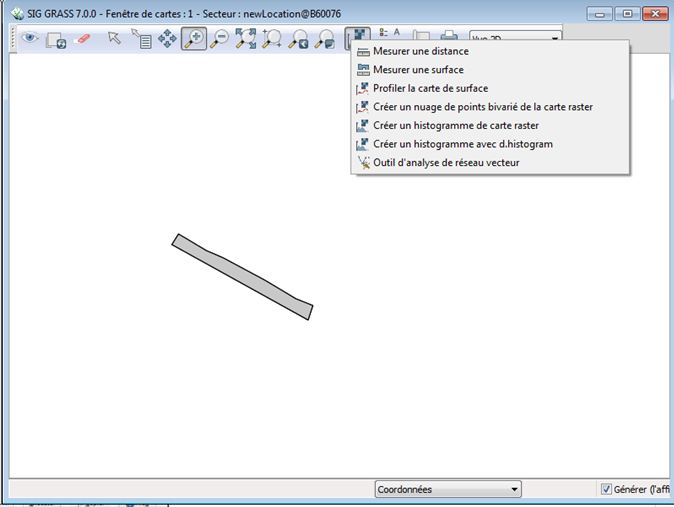
- grass_tampon_1.jpg
- 674×507
- //21/04/2015 17:29//
- 39.5 KB
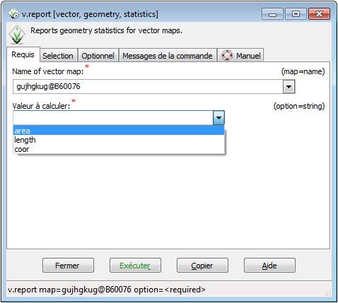
- grass_tampon_2.jpg
- 478×429
- //21/04/2015 17:29//
- 29.2 KB
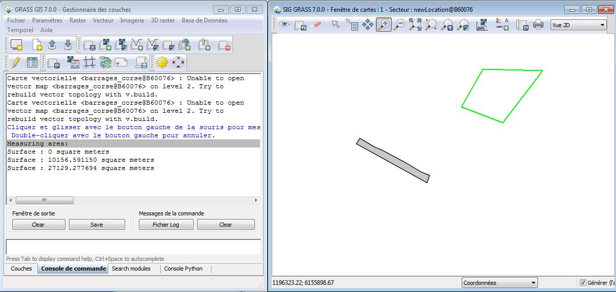
- grass_tampon_3.jpg
- 1206×572
- //21/04/2015 17:29//
- 115.8 KB
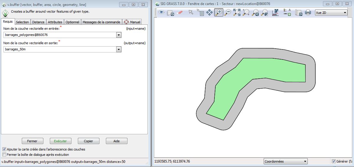
- grass_tampon_4.jpg
- 1200×567
- //21/04/2015 17:29//
- 83 KB
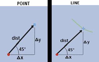
- image1.jpg
- 318×201
- //23/02/2011 19:37//
- 6.2 KB
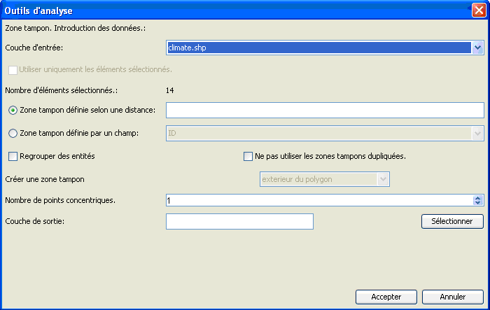
- kk.png
- 700×443
- //29/03/2011 12:35//
- 14.9 KB
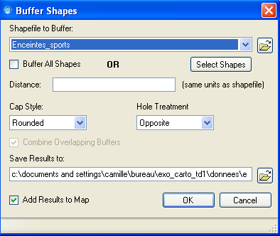
- mapwindow_buffer_shapes.png
- 394×332
- //23/02/2011 19:37//
- 20.8 KB
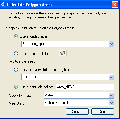
- mapwindow_calculate_polygone_areas.png
- 388×386
- //23/02/2011 19:37//
- 22.4 KB

- mapwindow_distance_aire.png
- 48×22
- //23/02/2011 19:37//
- 1 KB
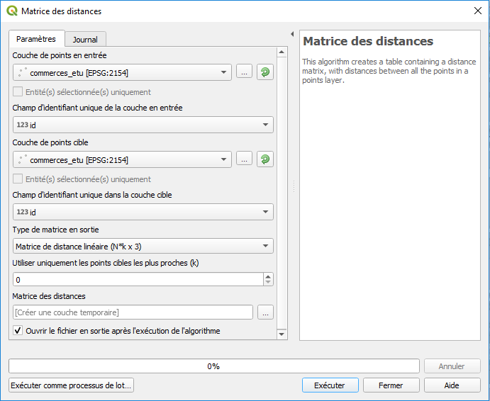
- matrice_dist.png
- 691×566
- //23/01/2020 11:32//
- 31.3 KB
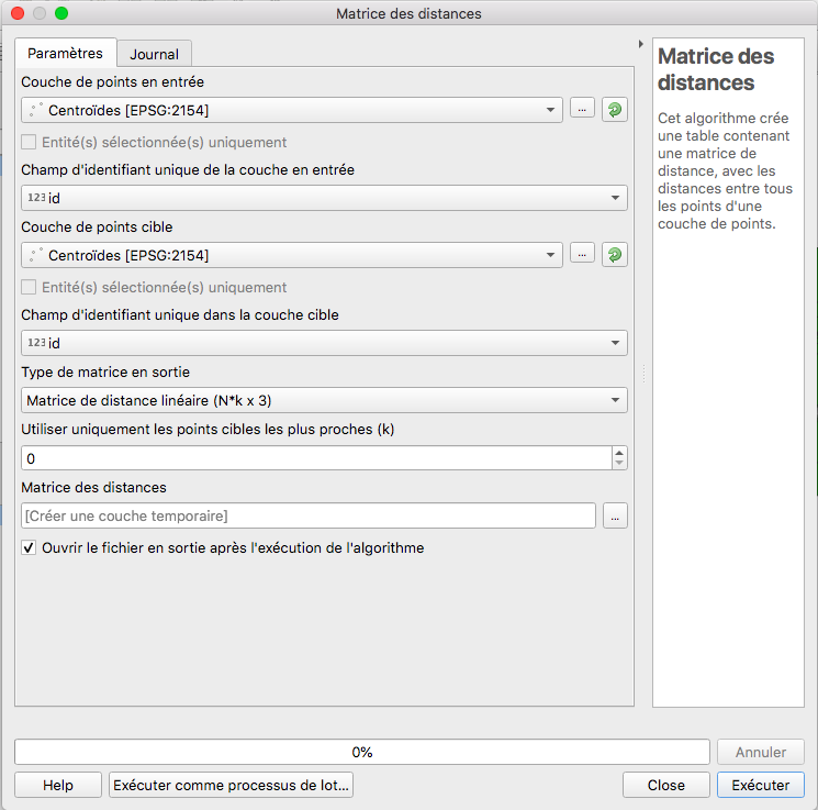
- matrice_parame_trs.png
- 745×737
- //31/01/2021 23:48//
- 109.6 KB
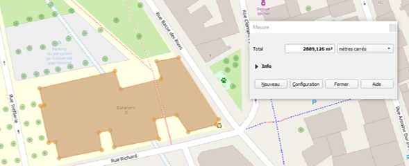
- mesure_aire.png
- 589×240
- //23/01/2020 12:09//
- 115.2 KB
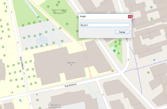
- mesure_angle.png
- 548×356
- //23/01/2020 12:09//
- 153.1 KB
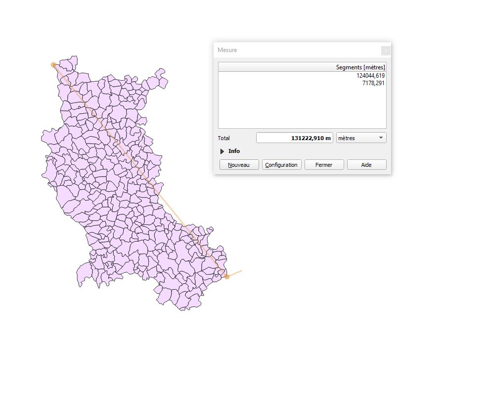
- mesure_dist.png
- 989×810
- //23/01/2020 12:09//
- 113.2 KB
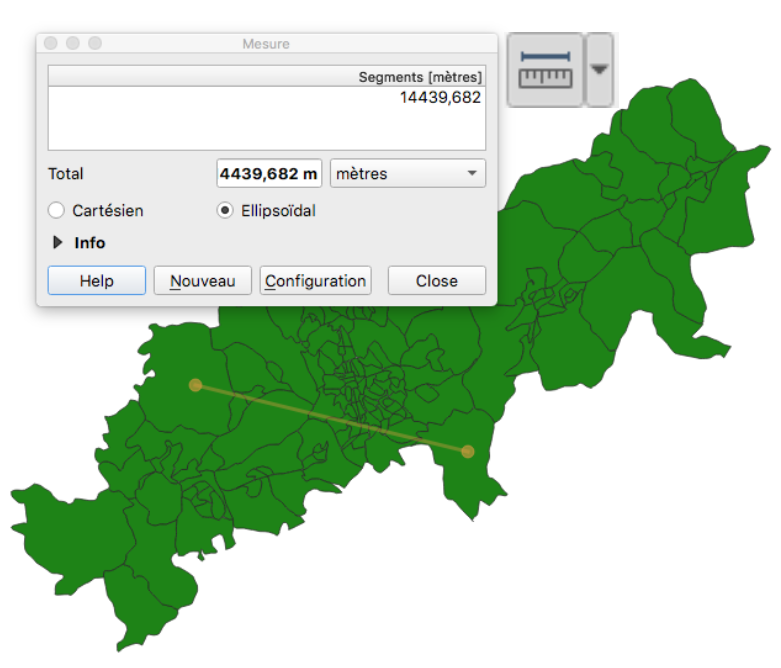
- mesure.png
- 781×668
- //31/01/2021 23:26//
- 187 KB
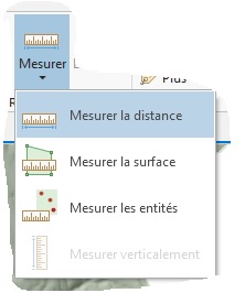
- mesure1_agpro.jpg
- 222×266
- //08/01/2019 18:51//
- 14.7 KB

- mesure2_agpro.jpg
- 421×107
- //08/01/2019 18:51//
- 17.3 KB
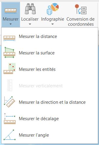
- mesurer_carte.jpg
- 332×485
- //30/01/2021 07:53//
- 29.5 KB

- mesurer.jpg
- 35×29
- //23/02/2011 19:37//
- 1004 B
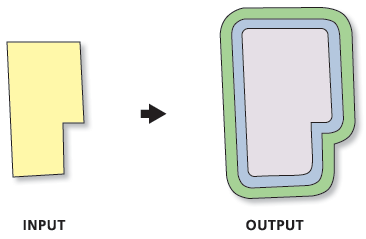
- multiple_buffer.gif
- 366×239
- //23/02/2011 19:37//
- 9.3 KB
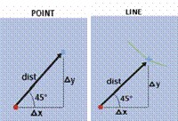
- near.gif
- 200×136
- //23/02/2011 19:37//
- 5.1 KB
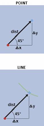
- near.jpg
- 153×438
- //23/02/2011 19:37//
- 5.6 KB
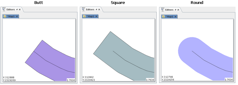
- oubi.png
- 784×281
- //30/03/2011 12:43//
- 47 KB
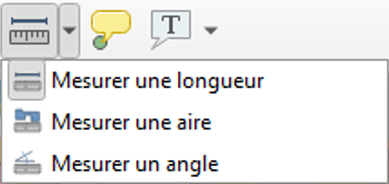
- outil_mesu.png
- 389×184
- //23/01/2020 12:06//
- 40.5 KB

- parametres_mesure.png
- 705×161
- //23/01/2020 11:32//
- 7.7 KB
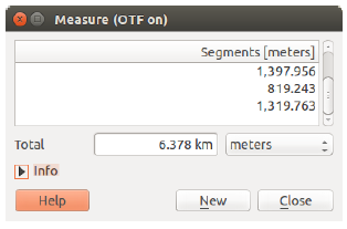
- qgis_outilmesure1.png
- 314×207
- //28/01/2016 21:43//
- 18.5 KB
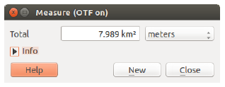
- qgis_outilmesure2.png
- 318×123
- //28/01/2016 21:45//
- 12.2 KB
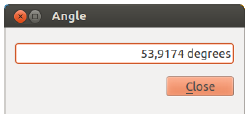
- qgis_outilmesure3.png
- 250×127
- //28/01/2016 21:46//
- 6.9 KB
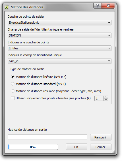
- qgis_outilmesure4.png
- 429×564
- //28/01/2016 21:48//
- 30.8 KB
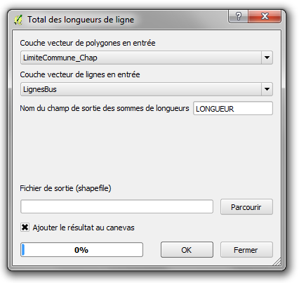
- qgis_outilmesure5.png
- 426×403
- //28/01/2016 21:50//
- 24.3 KB
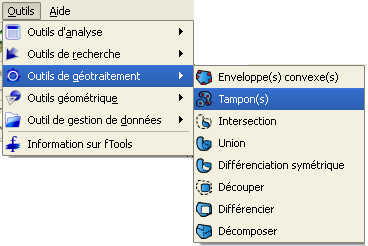
- qgis_tampons.png
- 368×246
- //23/02/2011 19:37//
- 15.8 KB
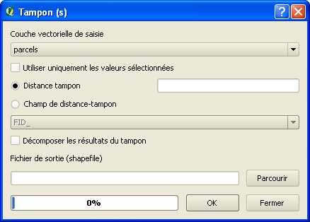
- qgis_tampons2.png
- 438×314
- //23/02/2011 19:37//
- 13 KB
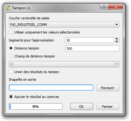
- qgis2.8_tampons1.png
- 426×394
- //28/01/2016 21:51//
- 25.6 KB
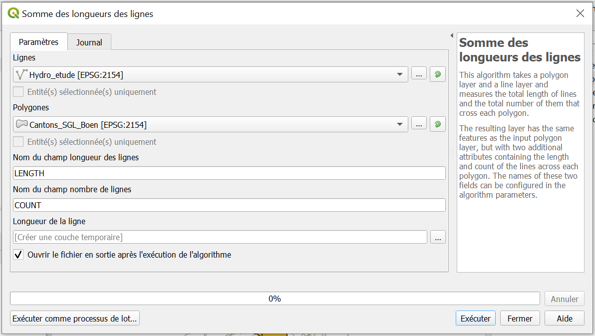
- somme_lignes.png
- 1192×673
- //27/01/2020 12:58//
- 61.7 KB
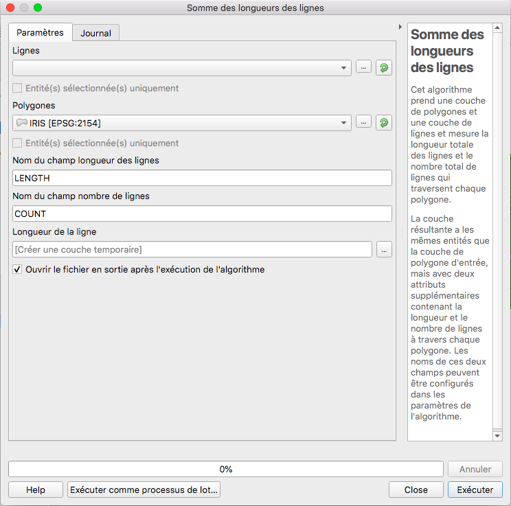
- somme.png
- 744×737
- //31/01/2021 23:49//
- 128.7 KB
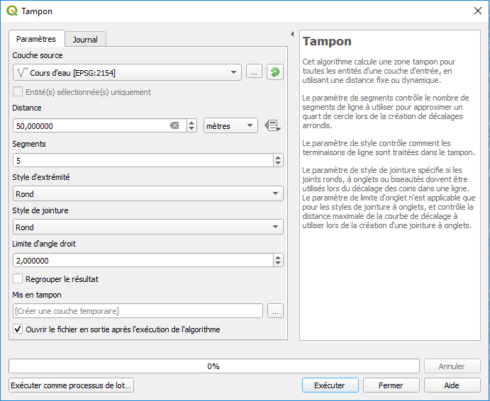
- tampon.png
- 691×566
- //23/01/2020 11:32//
- 36.7 KB
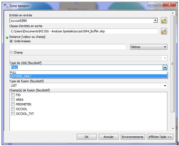
- type_cote.jpg
- 613×500
- //12/02/2012 17:22//
- 51.5 KB
- zone_tampon_bas.jpg
- 358×316
- //30/01/2021 08:22//
- 19.7 KB
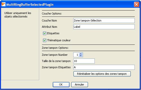
- zone_tampon_concentrique.jpg
- 564×360
- //23/02/2011 19:37//
- 33.1 KB

- zone_tampon_haut.jpg
- 637×149
- //30/01/2021 08:21//
- 24.4 KB
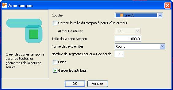
- zone_tampon.jpg
- 564×295
- //23/02/2011 19:37//
- 28.2 KB
Fichier
- Voir
- Éditer
- Historique
fonctions/transformation/traitementsgeo/arcgis.txt · Dernière modification : //14/02/2012 15:06// de gertrude


