fonctions:visualisation:labelisation:generalites:mapinfo
Gestionnaire Multimédia
Catégories
Choisissez une catégorie
Sélection de fichiers
- Sélection de fichiers
- Envoyer
- Rechercher
Fichiers dans fonctions:visualisation:3d
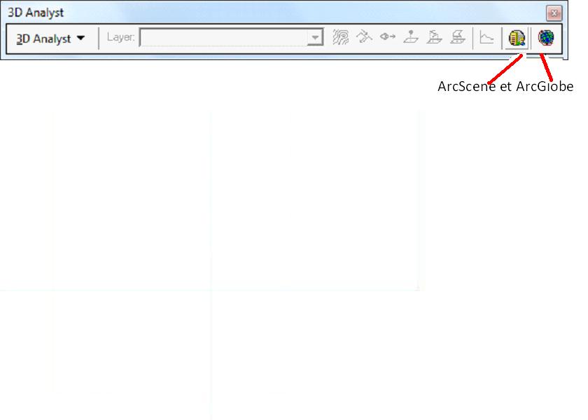
- 3d.jpg
- 840×600
- //10/02/2012 18:54//
- 23.1 KB

- 3d1.jpg
- 384×60
- //23/02/2011 19:37//
- 7.5 KB

- 3d2.jpg
- 409×60
- //23/02/2011 19:37//
- 8.3 KB

- 3d3.jpg
- 564×60
- //23/02/2011 19:37//
- 10.6 KB
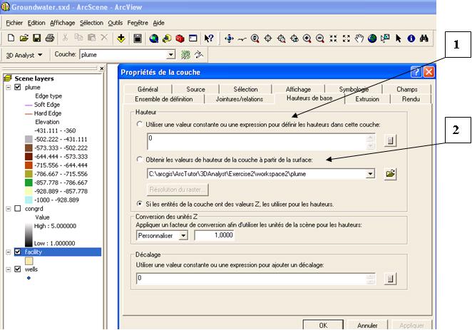
- 3d4.jpg
- 662×463
- //23/02/2011 19:37//
- 56.5 KB
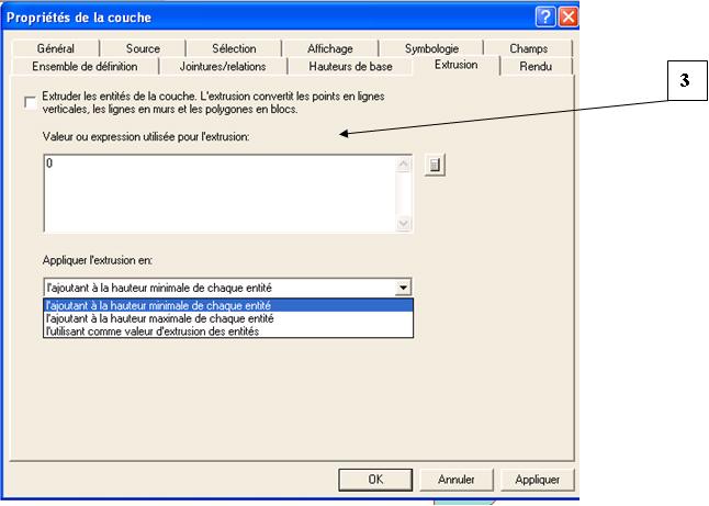
- 3d5.jpg
- 646×461
- //23/02/2011 19:37//
- 34.7 KB
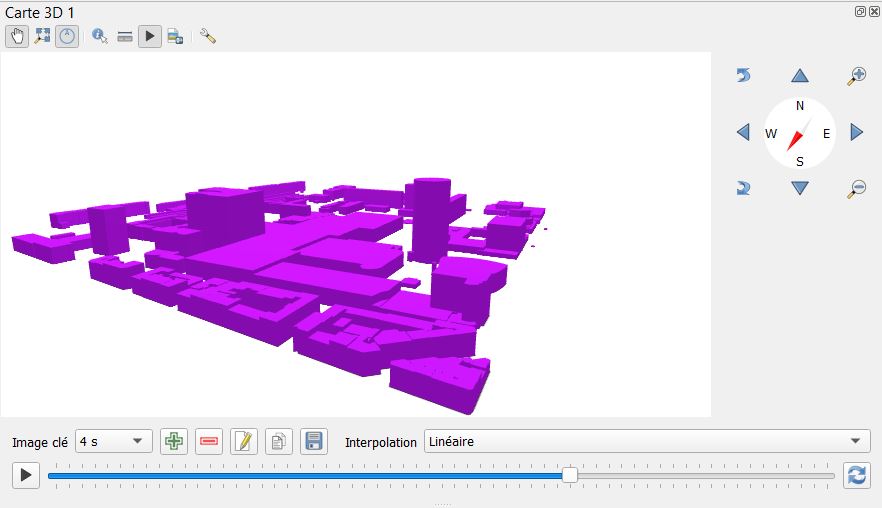
- 4s.jpg
- 882×508
- //28/01/2021 20:12//
- 48.2 KB
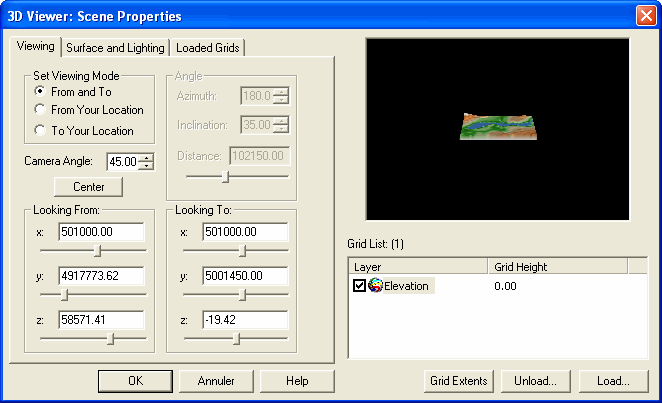
- 15.gif
- 662×403
- //23/02/2011 19:37//
- 16.5 KB

- 16.gif
- 24×21
- //23/02/2011 19:37//
- 969 B
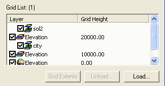
- 17.gif
- 325×171
- //23/02/2011 19:37//
- 4.7 KB
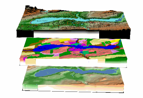
- 18.gif
- 463×318
- //23/02/2011 19:37//
- 28.3 KB
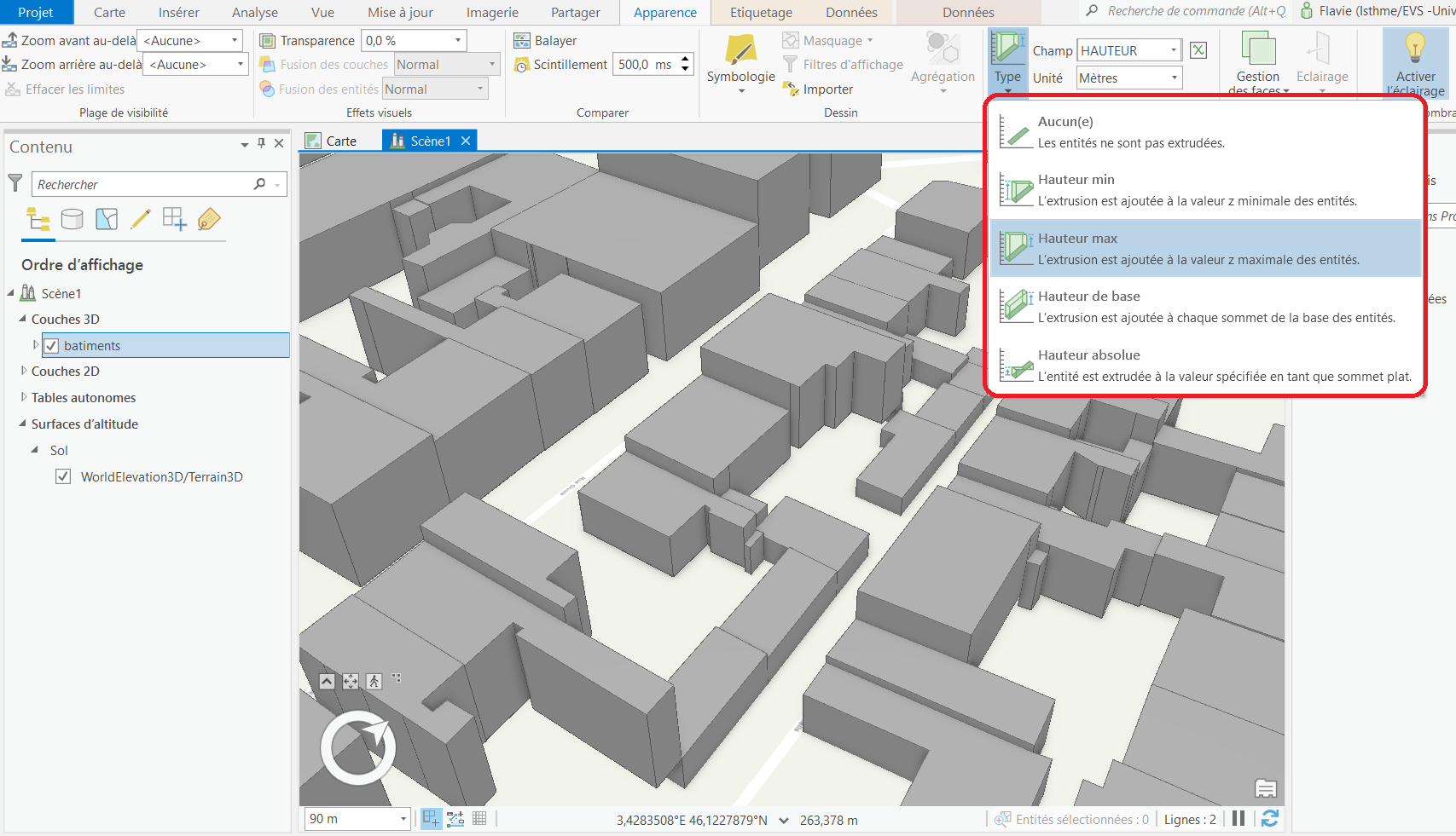
- 111.png
- 1707×981
- //10/02/2022 15:55//
- 287.6 KB
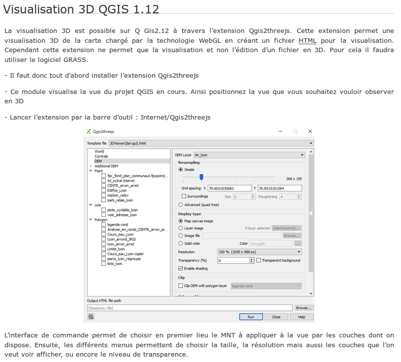
- ancienne.png
- 815×736
- //31/01/2016 19:17//
- 124.4 KB
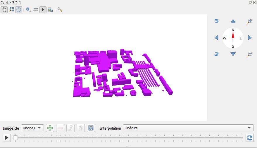
- animation_3d.jpg
- 879×507
- //28/01/2021 19:45//
- 48.6 KB
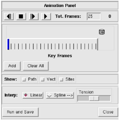
- animation_panel_nviz.jpg
- 417×420
- //14/04/2011 10:02//
- 23.5 KB
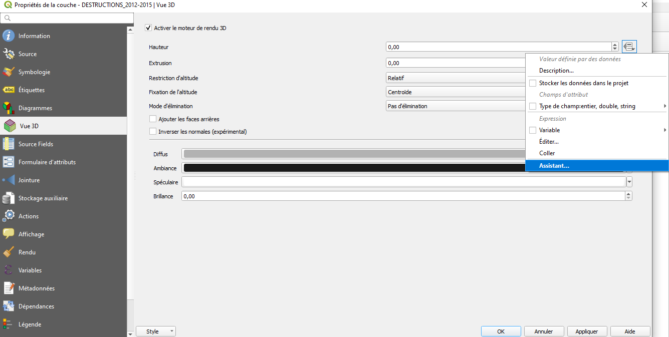
- assistant.png
- 1335×673
- //30/04/2020 12:46//
- 53.5 KB
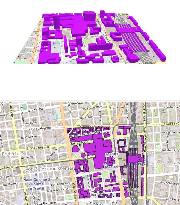
- bati_3d.jpg
- 606×690
- //28/01/2021 18:26//
- 112.4 KB
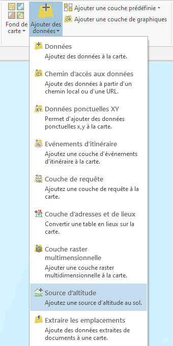
- capture_d_ecran_2021-01-31_130101.png
- 340×681
- //31/01/2021 13:01//
- 31.4 KB

- carte_3d.png
- 791×79
- //30/04/2020 12:46//
- 3.5 KB
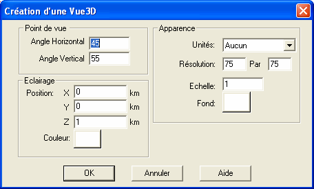
- cc3.gif
- 456×274
- //23/02/2011 19:37//
- 8.9 KB
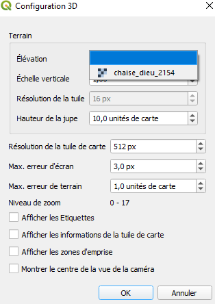
- config_3d.png
- 314×444
- //30/04/2020 12:46//
- 14.3 KB
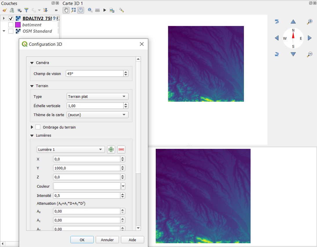
- config_raster_2.jpg
- 1093×853
- //28/01/2021 18:48//
- 97.1 KB
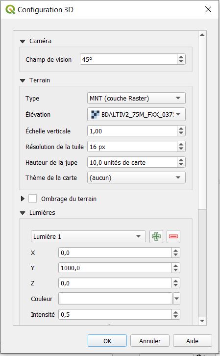
- config_raster_3.jpg
- 449×726
- //28/01/2021 18:49//
- 55.9 KB
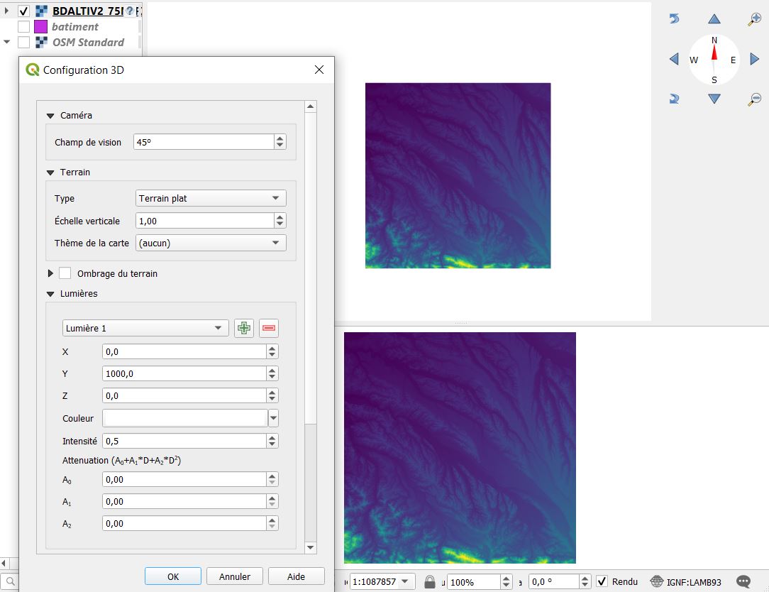
- config_raster.jpg
- 1084×834
- //28/01/2021 18:37//
- 96.5 KB
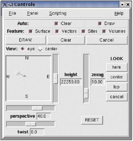
- control_panel_nviz.jpg
- 435×460
- //14/04/2011 10:13//
- 32.5 KB
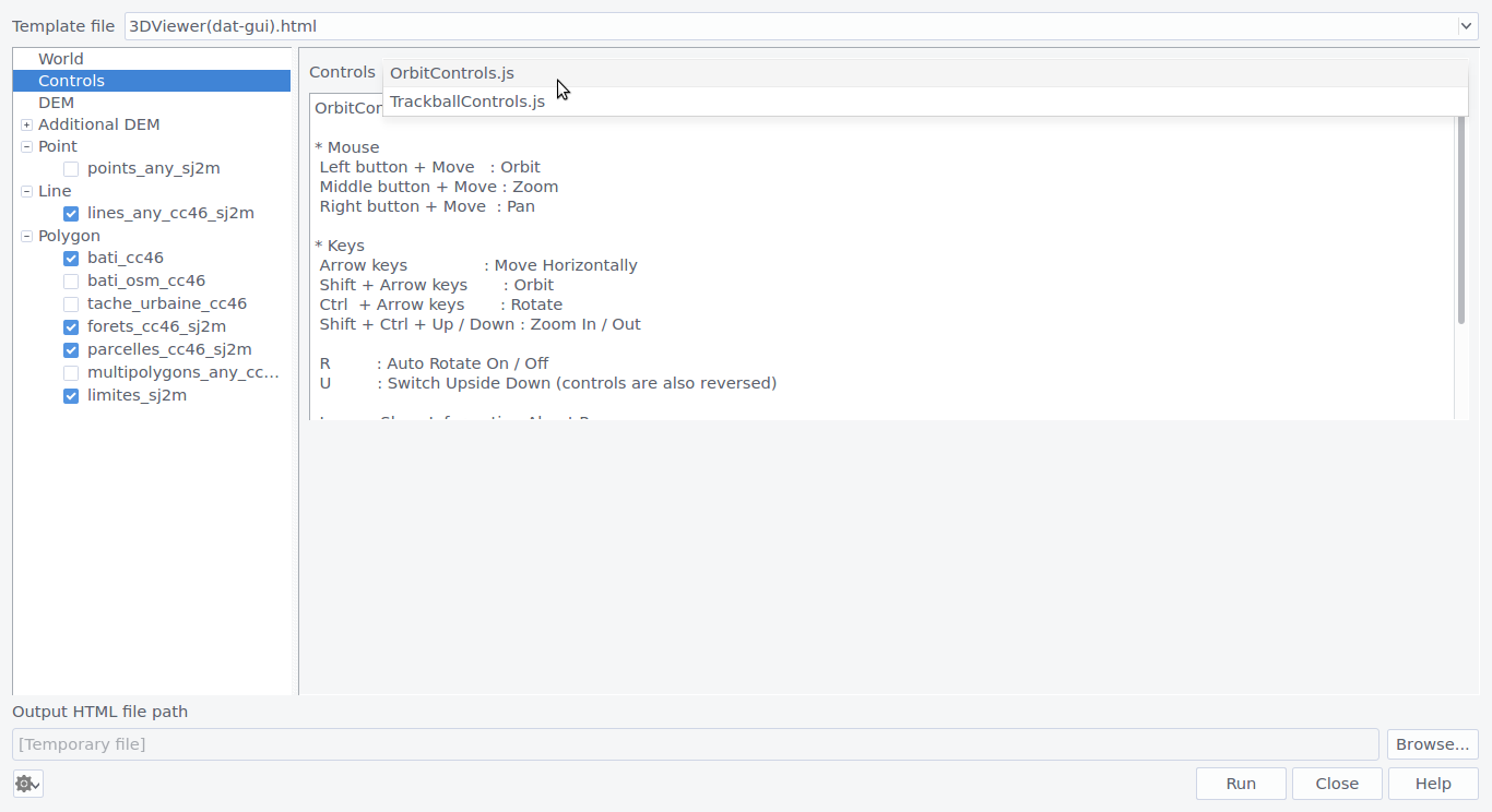
- controls.png
- 1366×744
- //31/01/2016 19:17//
- 86.5 KB

- d.png
- 373×36
- //27/03/2011 19:04//
- 4.5 KB
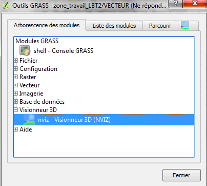
- dd.png
- 404×362
- //27/03/2011 19:05//
- 14.4 KB
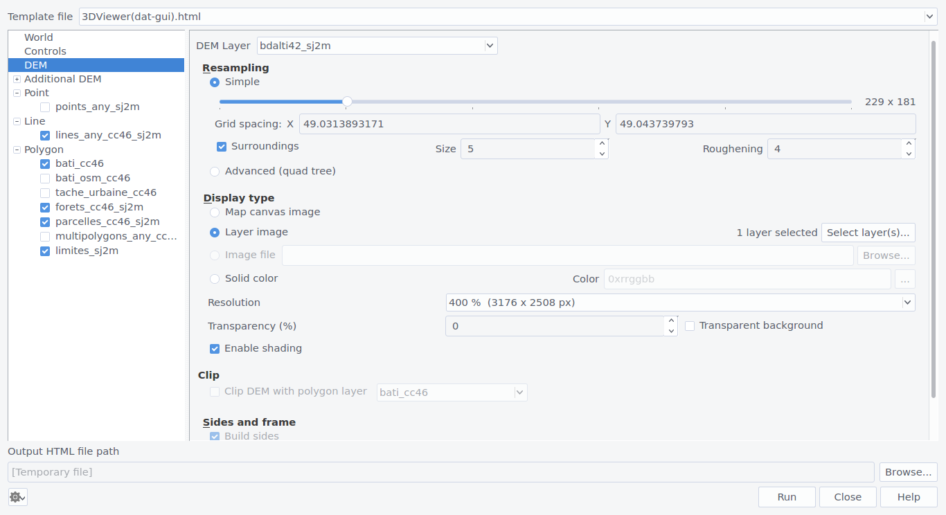
- dem.png
- 1366×744
- //31/01/2016 19:17//
- 108.4 KB
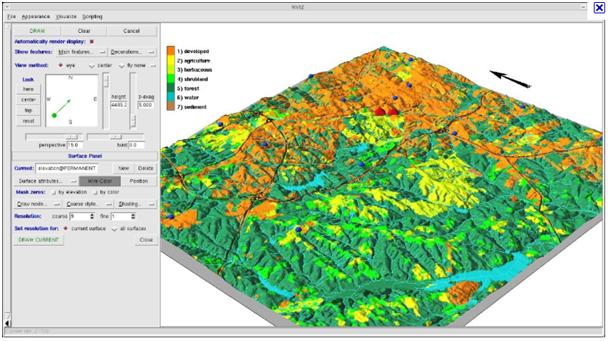
- drapage_raster_mnt.jpg
- 608×341
- //14/04/2011 10:13//
- 50 KB
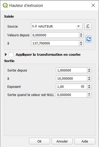
- extrusion.jpg
- 379×559
- //28/01/2021 17:44//
- 37.3 KB
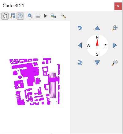
- fenetre_3d.jpg
- 402×438
- //28/01/2021 19:11//
- 26.5 KB
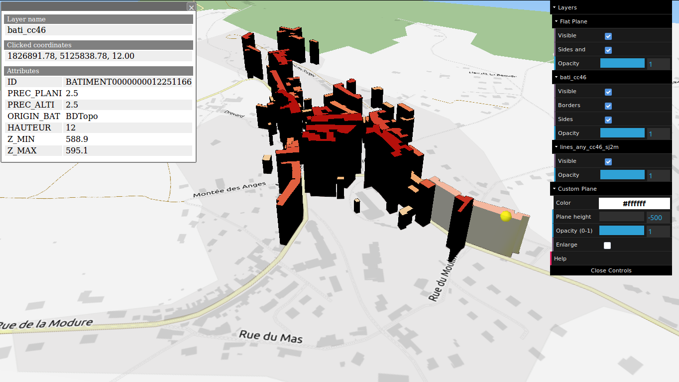
- final2.png
- 1364×767
- //31/01/2016 20:29//
- 253.2 KB

- icone.png
- 24×24
- //31/01/2016 19:17//
- 1.1 KB
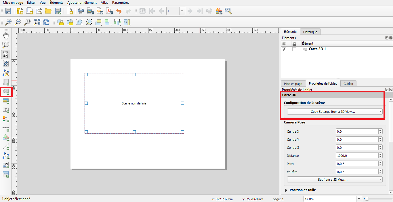
- integration_mep.png
- 1366×702
- //30/04/2020 12:46//
- 71.2 KB
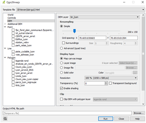
- menu_3d.png
- 473×398
- //16/11/2015 14:09//
- 71 KB
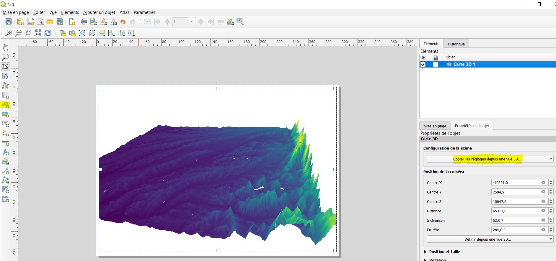
- mep_raster.jpg
- 1883×885
- //28/01/2021 18:57//
- 164.5 KB
- navigation_3d.jpg
- 158×165
- //28/01/2021 19:23//
- 10.3 KB
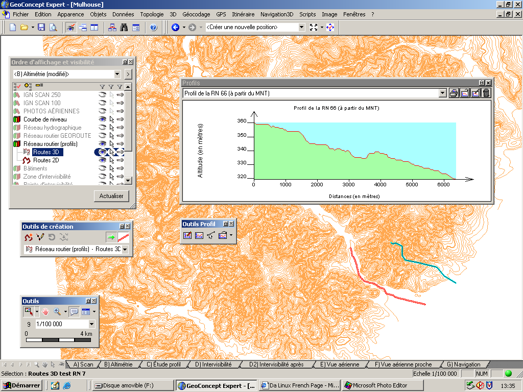
- outils_3d.png
- 1024×768
- //23/02/2011 19:37//
- 119.3 KB

- outils_vue.jpg
- 226×34
- //28/01/2021 19:13//
- 9.3 KB
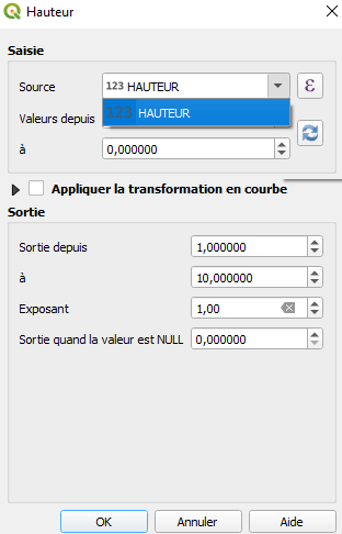
- parametres.png
- 312×486
- //30/04/2020 12:46//
- 14.4 KB
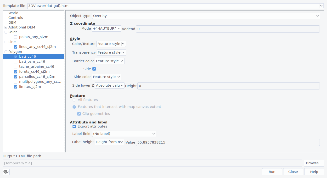
- polygon.png
- 1366×744
- //31/01/2016 19:17//
- 99 KB
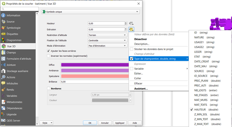
- proprietes.png
- 745×408
- //28/01/2021 16:57//
- 127.8 KB
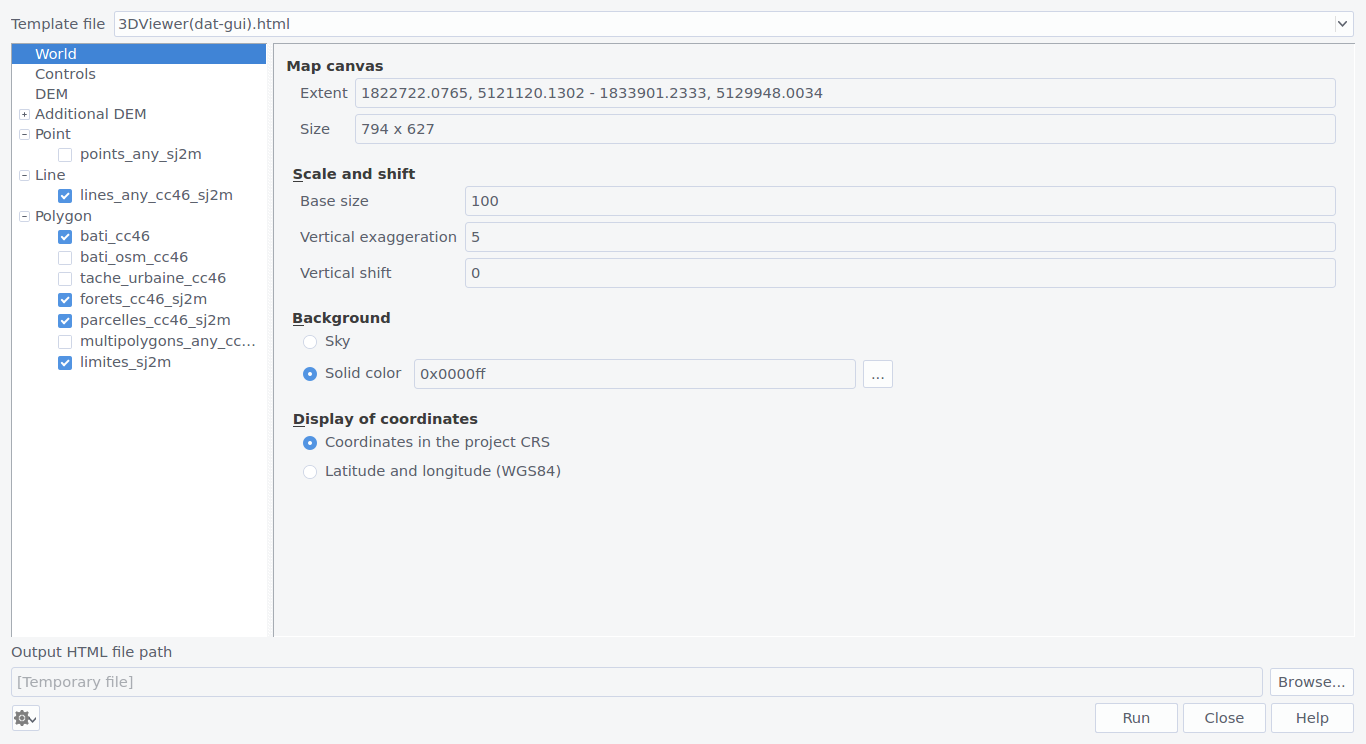
- q23js_global.png
- 1366×744
- //31/01/2016 19:17//
- 85.2 KB

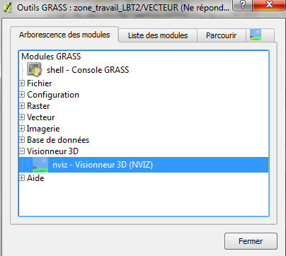
- qgis_3d_grass.png
- 373×36
- //23/02/2011 19:37//
- 9.1 KB
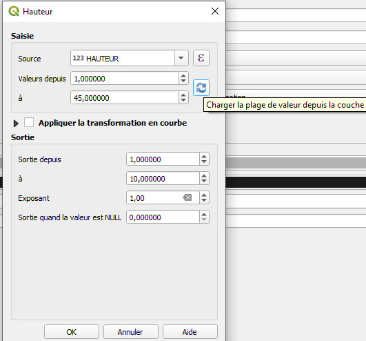
- qgis_3d_grass2.png
- 404×362
- //23/02/2011 19:37//
- 34.2 KB
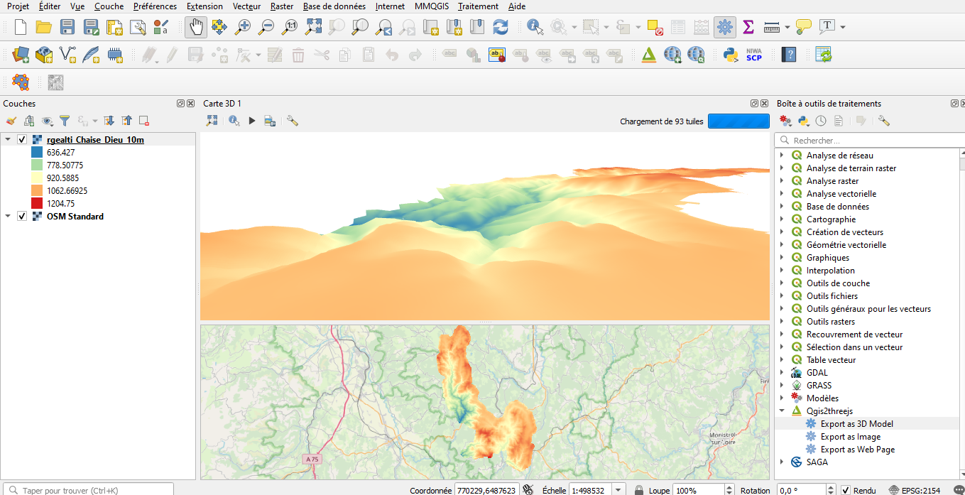
- rafraichir.png
- 531×494
- //30/04/2020 12:46//
- 19.3 KB
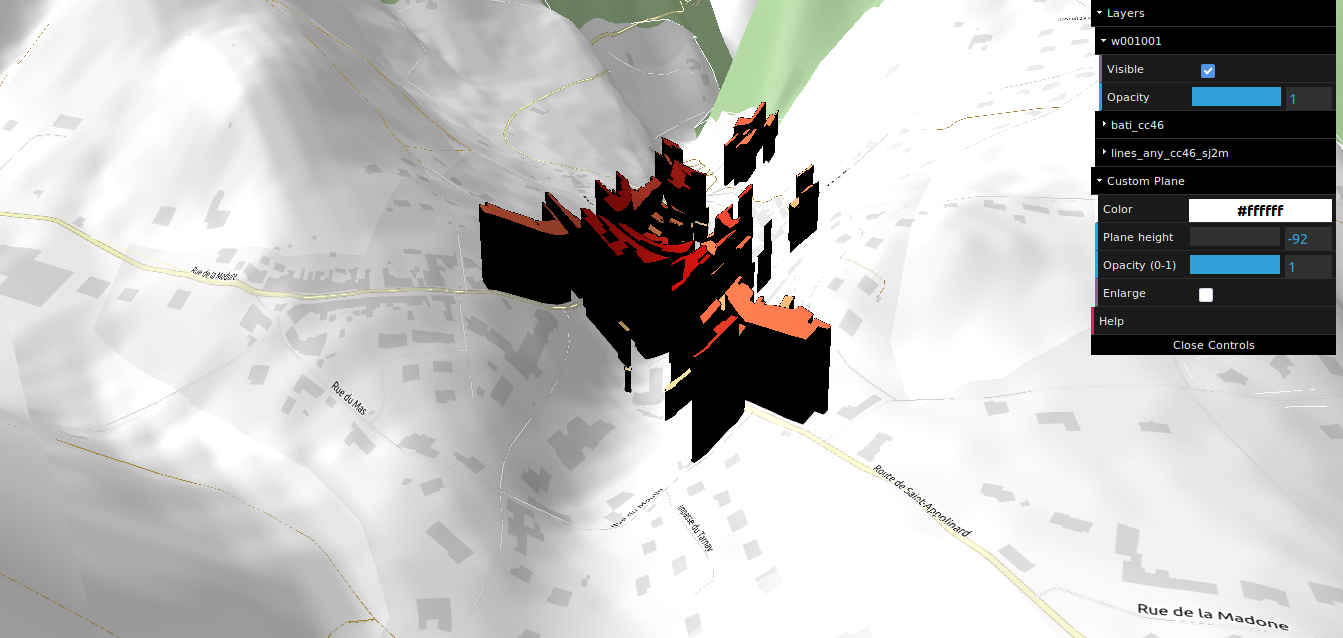
- raster_3d.png
- 1359×697
- //30/04/2020 12:46//
- 490.5 KB
- rendu_final.png
- 1343×638
- //31/01/2016 19:17//
- 327.4 KB
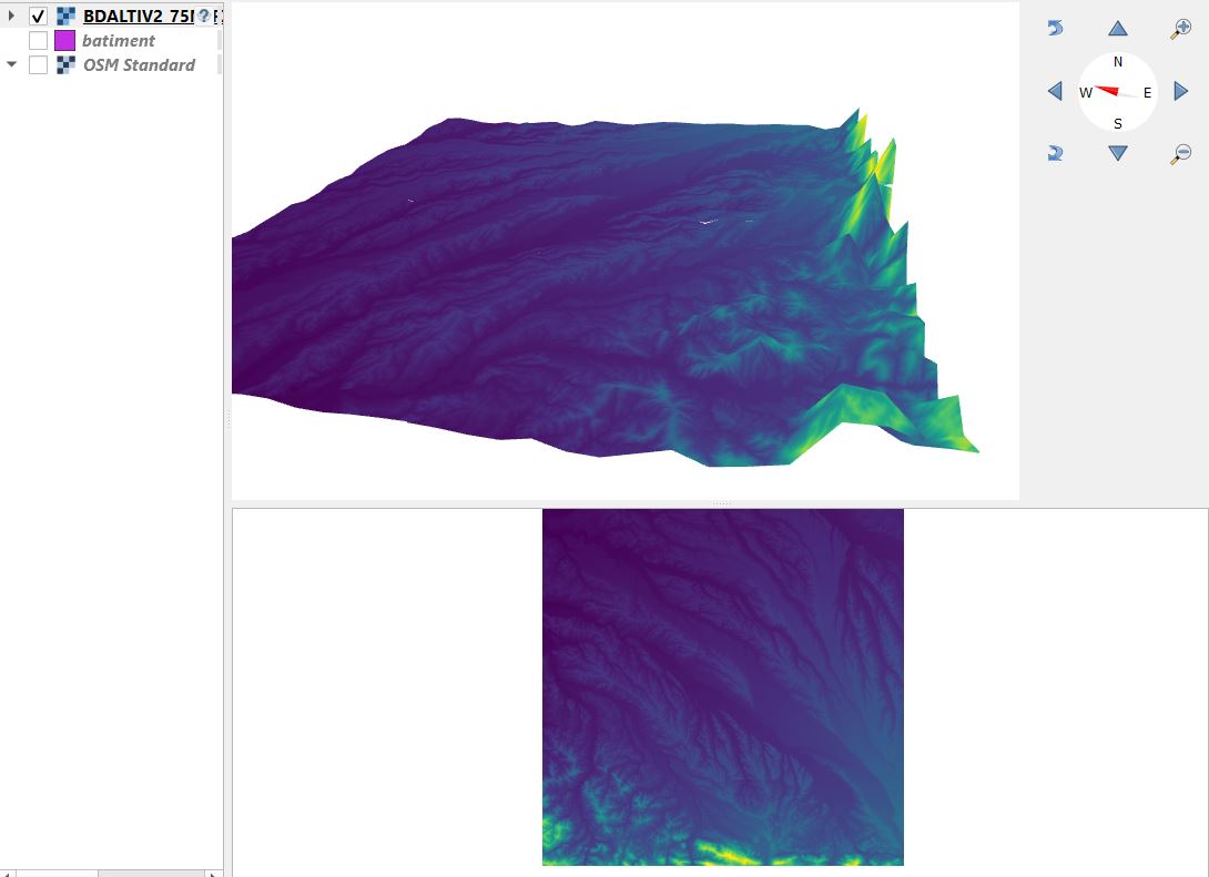
- resultat_raster.jpg
- 1090×791
- //28/01/2021 18:53//
- 61.4 KB

- templates.png
- 304×78
- //31/01/2016 19:17//
- 11.9 KB
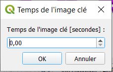
- temps_image.jpg
- 228×145
- //28/01/2021 19:49//
- 16.9 KB
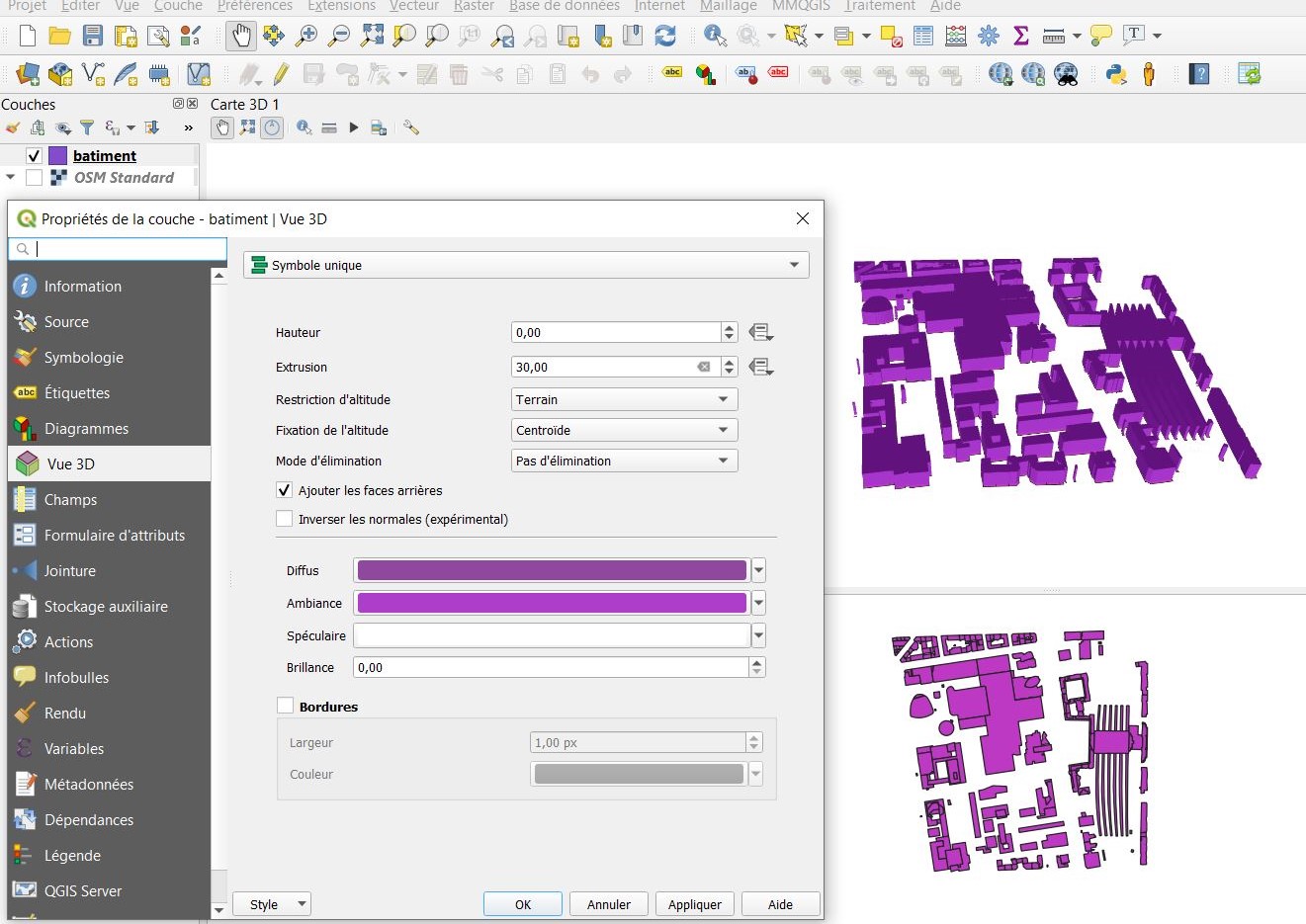
- valeur_unique_2.jpg
- 1321×935
- //28/01/2021 17:50//
- 250.4 KB
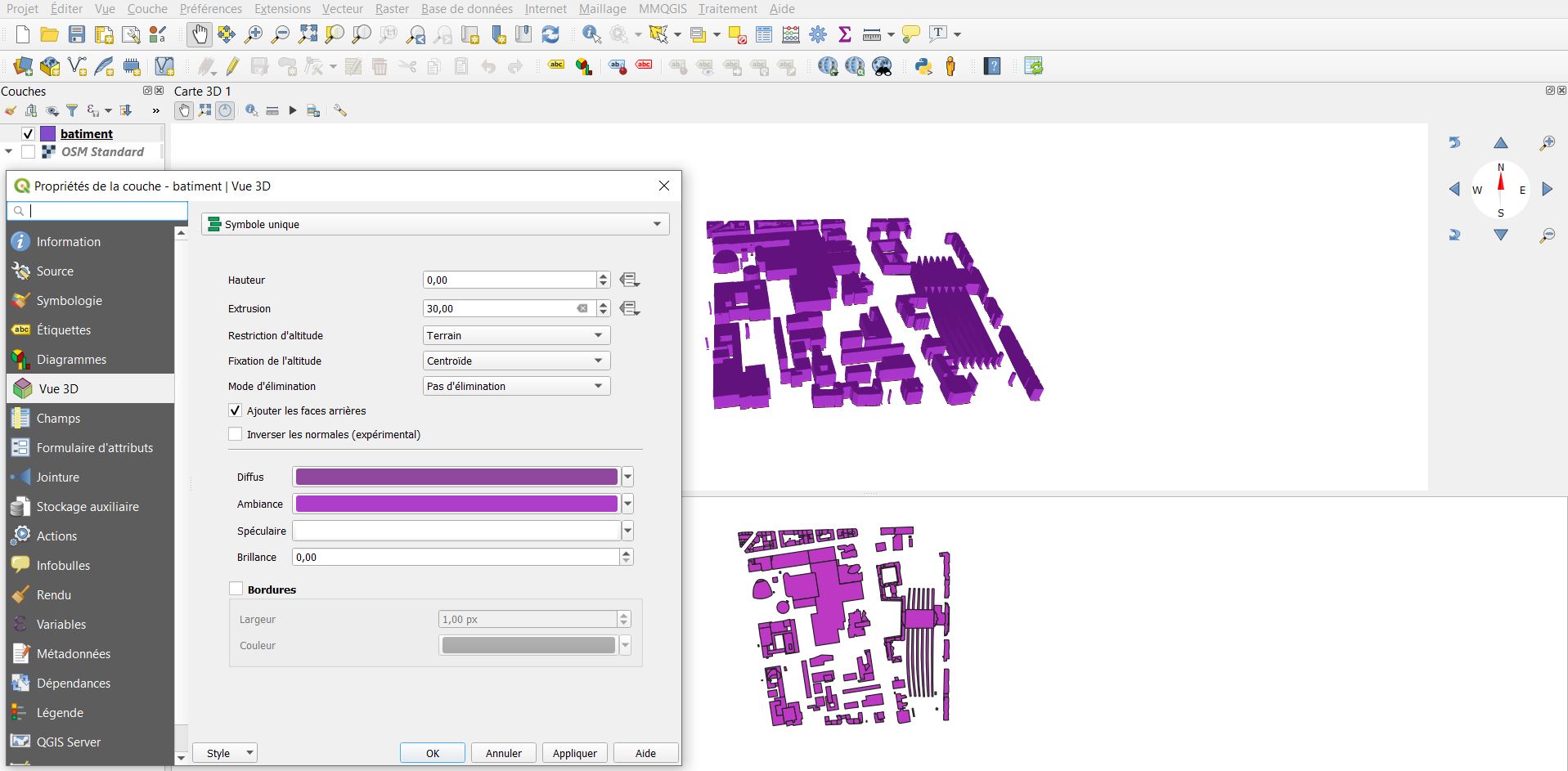
- valeur_unique.jpg
- 1917×943
- //28/01/2021 17:26//
- 186.4 KB
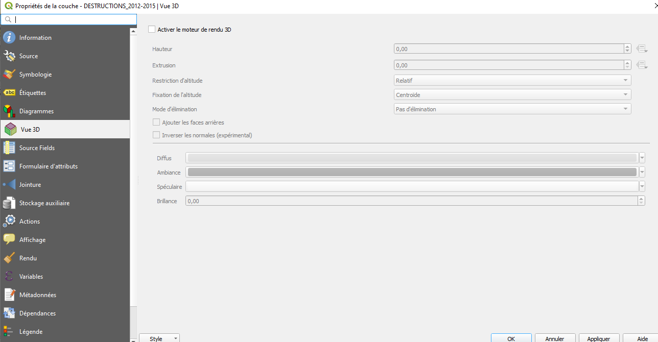
- vue_3d.png
- 1288×670
- //30/04/2020 12:46//
- 49.2 KB
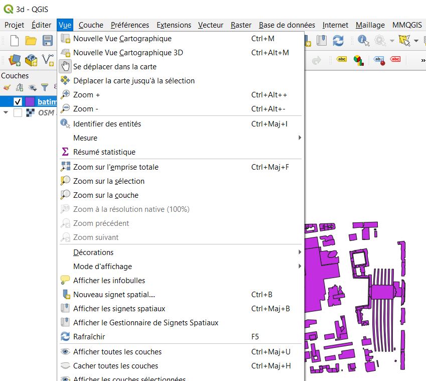
- vue_carto_3d.jpg
- 849×759
- //28/01/2021 19:09//
- 106.3 KB
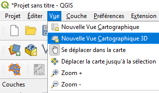
- vue_carto_3d.png
- 319×186
- //30/04/2020 12:46//
- 16.5 KB
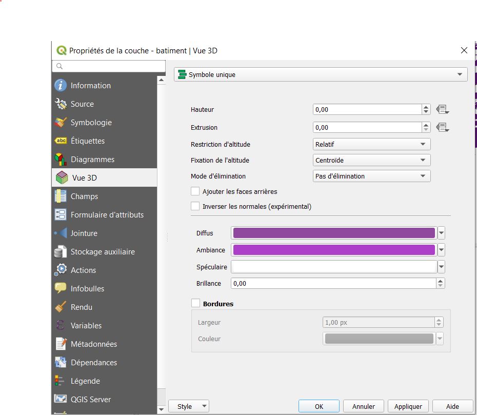
- vue3d.jpg
- 930×809
- //28/01/2021 17:34//
- 80.6 KB
Fichier
- Voir
- Historique
fonctions/visualisation/labelisation/generalites/mapinfo.txt · Dernière modification : //17/03/2017 11:43// de felix


