fonctions:visualisation:publication:cartoweb:orbisgis
Gestionnaire Multimédia
Catégories
Choisissez une catégorie
Sélection de fichiers
- Sélection de fichiers
- Envoyer
- Rechercher
Fichiers dans fonctions:visualisation:affichage:echelle_zoom

- 26-.jpg
- 848×103
- //23/02/2011 19:39//
- 47.7 KB

- 26.jpg
- 1280×103
- //23/02/2011 19:39//
- 53.4 KB

- 27.jpg
- 22×20
- //23/02/2011 19:39//
- 13.3 KB
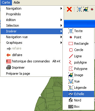
- 28.jpg
- 318×370
- //23/02/2011 19:39//
- 55.8 KB

- 29.jpg
- 26×25
- //23/02/2011 19:39//
- 13.4 KB

- ajout.png
- 24×23
- //17/04/2020 15:42//
- 423 B
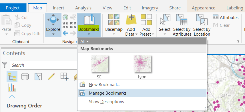
- bookmarks.png
- 857×393
- //03/02/2019 14:15//
- 127 KB
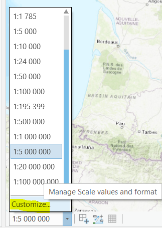
- derouleechelle.png
- 323×455
- //03/02/2019 14:05//
- 143.5 KB
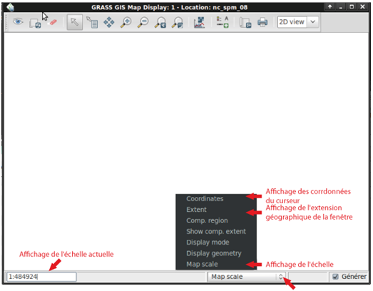
- echelle_grass.png
- 523×408
- //19/04/2011 21:15//
- 53.9 KB

- echelle_qgis.jpg
- 456×59
- //23/02/2011 19:39//
- 7.4 KB
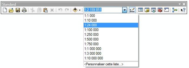
- echelle-affich.jpg
- 639×230
- //05/02/2012 09:54//
- 35.9 KB

- echelle-coordonnees.jpg
- 257×50
- //23/02/2011 19:39//
- 14.7 KB
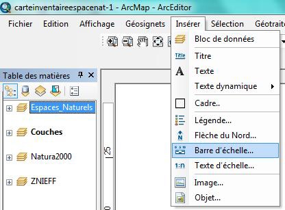
- echelle-inser.jpg
- 416×307
- //05/02/2012 09:56//
- 52.2 KB
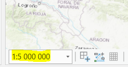
- emplacementechelle.png
- 251×131
- //03/02/2019 14:05//
- 45.4 KB

- export.png
- 29×28
- //17/04/2020 15:42//
- 711 B
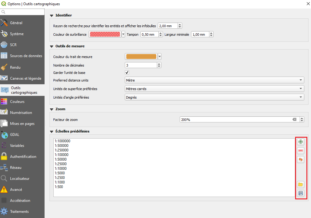
- import_echelle.png
- 1019×714
- //17/04/2020 15:43//
- 59.6 KB

- importation.png
- 29×28
- //17/04/2020 15:43//
- 619 B
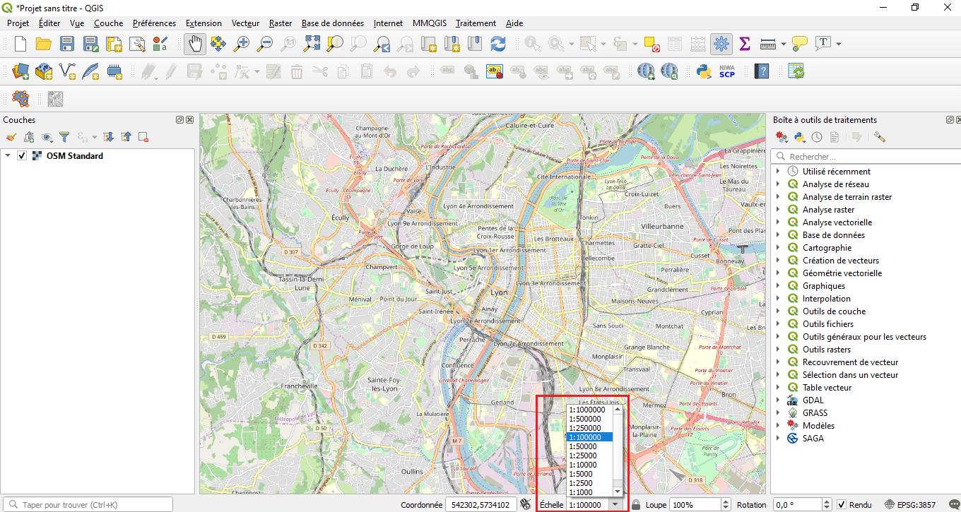
- liste.png
- 1360×725
- //17/04/2020 15:43//
- 308.8 KB
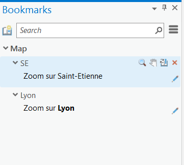
- menubookmark.png
- 361×325
- //03/02/2019 14:19//
- 9 KB
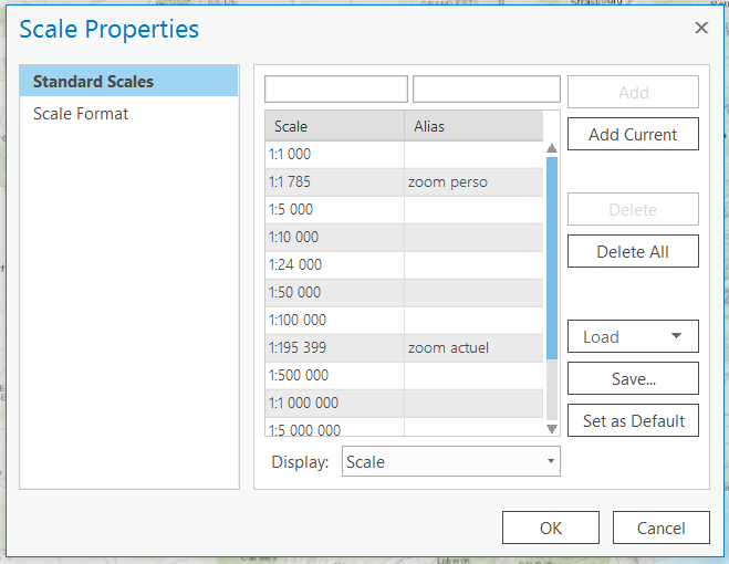
- menuechelle.png
- 659×510
- //03/02/2019 14:05//
- 44.6 KB
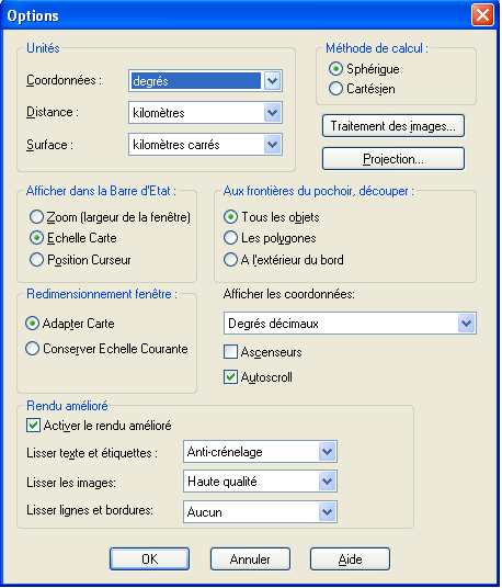
- option_coordonnees.png
- 458×536
- //14/02/2012 11:56//
- 27.4 KB

- retour.png
- 30×26
- //17/04/2020 15:42//
- 709 B

- suppression.png
- 29×26
- //17/04/2020 15:42//
- 374 B
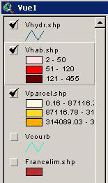
- theme-actif.jpg
- 155×262
- //23/02/2011 19:39//
- 30.2 KB
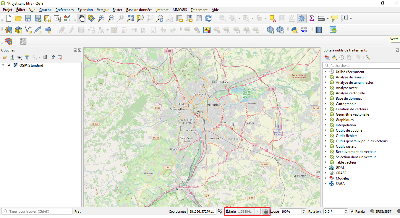
- verouillage_echelle.png
- 1353×737
- //17/04/2020 15:40//
- 939.2 KB
Fichier
fonctions/visualisation/publication/cartoweb/orbisgis.txt · Dernière modification : //27/03/2011 18:29// de reali


