fonctions:visualisation:publication:echanges
Gestionnaire Multimédia
Catégories
Choisissez une catégorie
Sélection de fichiers
- Sélection de fichiers
- Envoyer
- Rechercher
Fichiers dans fonctions:visualisation:publication:etat

- 10_qgis_iconne_ajout_table.jpg
- 40×37
- //24/01/2021 17:38//
- 1.1 KB
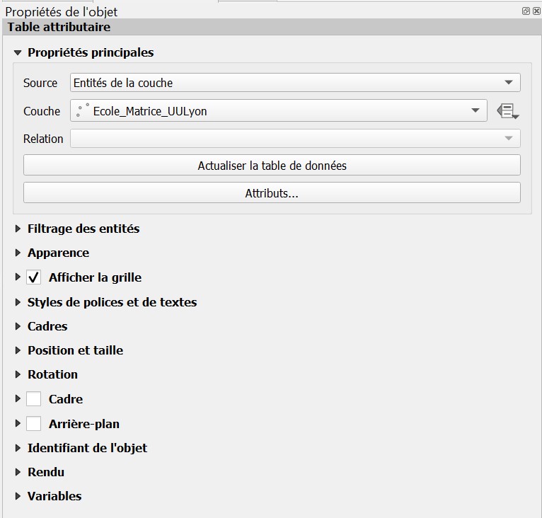
- 11_qgis_propriete_table.jpg
- 766×732
- //24/01/2021 17:40//
- 74.1 KB
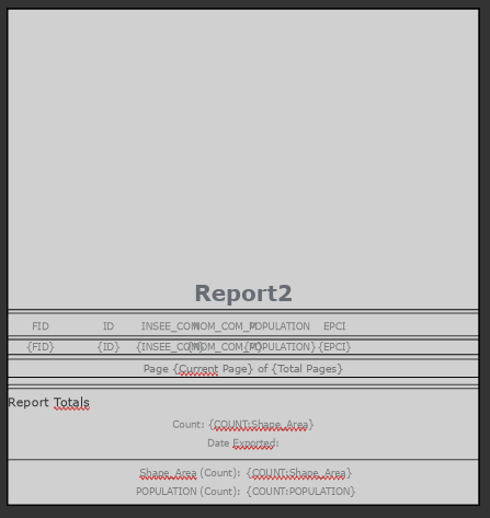
- apercu_rapport.png
- 447×473
- //23/01/2020 12:17//
- 15.8 KB
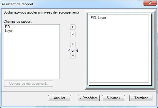
- assistant_rapport_2.png
- 536×366
- //08/12/2014 15:45//
- 25.7 KB
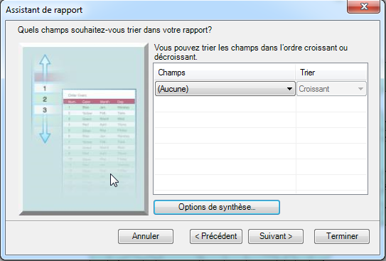
- assistant_rapport_3.png
- 543×367
- //08/12/2014 15:45//
- 63.1 KB
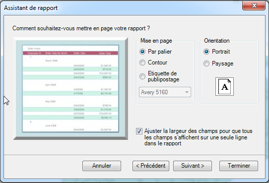
- assistant_rapport_4.png
- 542×369
- //08/12/2014 15:46//
- 66.2 KB
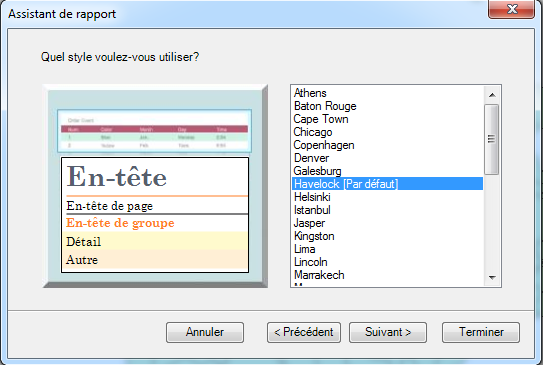
- assistant_rapport_5.png
- 543×365
- //08/12/2014 15:46//
- 40.6 KB
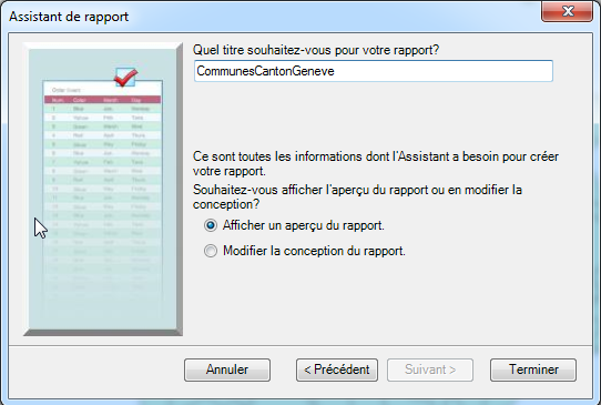
- assistant_rapport_6.png
- 542×365
- //08/12/2014 15:46//
- 60.9 KB
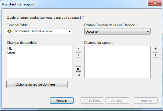
- assistant_rapport.png
- 536×367
- //08/12/2014 15:45//
- 22.8 KB
- capture.png
- 664×658
- //23/01/2020 17:33//
- 30.2 KB
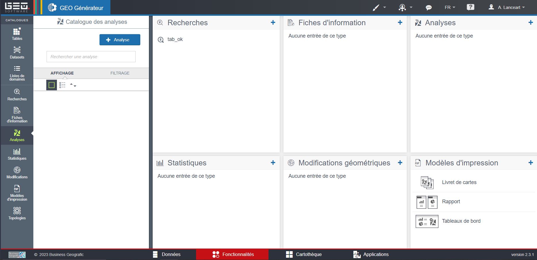
- capturefonction.jpg
- 1868×907
- //16/02/2023 11:21//
- 126.2 KB

- capturefonction2.jpg
- 1699×530
- //16/02/2023 11:29//
- 83.2 KB
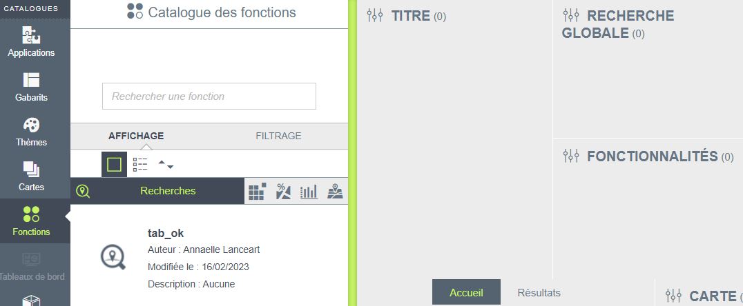
- capturefonction3.jpg
- 1076×444
- //16/02/2023 11:36//
- 47.7 KB
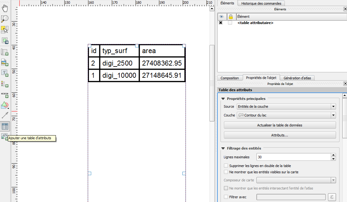
- creation_etat.png
- 1111×647
- //11/11/2015 18:56//
- 53 KB
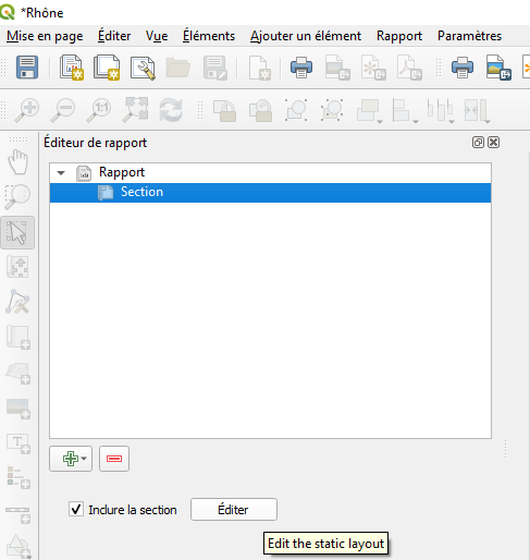
- edit_section.png
- 487×514
- //26/04/2020 16:48//
- 28.4 KB
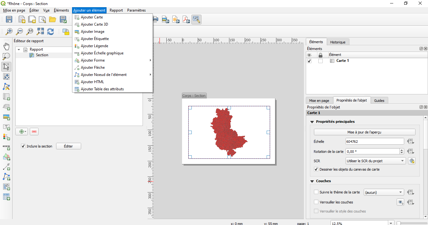
- elements.png
- 1366×720
- //26/04/2020 16:48//
- 99.8 KB
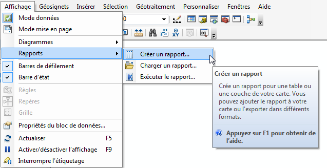
- enregistrer_un_rapport.png
- 637×328
- //08/12/2014 15:32//
- 29.4 KB

- export.png
- 578×147
- //26/04/2020 16:48//
- 19 KB
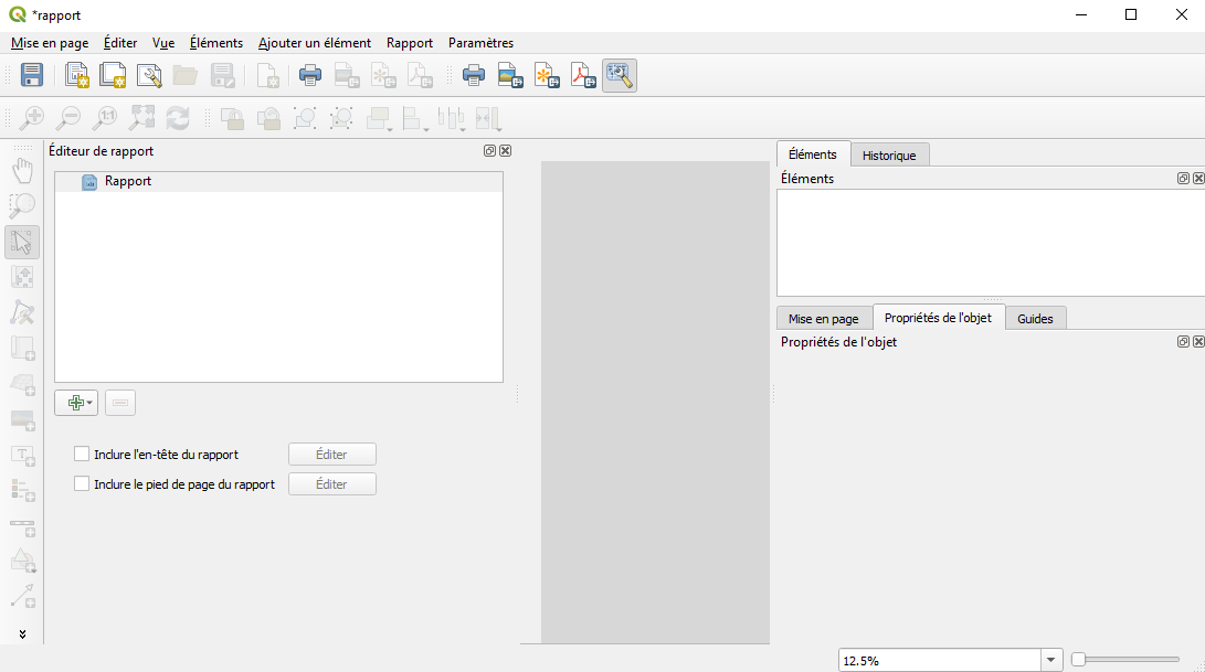
- fenetre_rapport.png
- 1091×609
- //26/04/2020 16:48//
- 39.5 KB
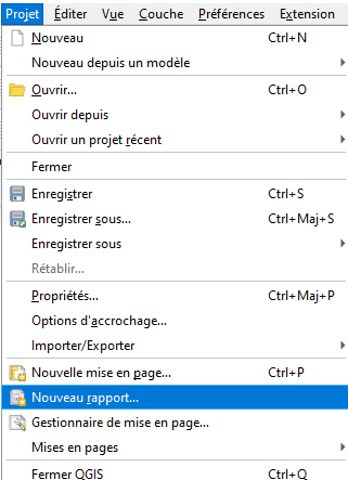
- nouveau_rapport.png
- 321×443
- //26/04/2020 16:48//
- 14.4 KB

- o.png
- 36×35
- //27/03/2011 19:23//
- 442 B
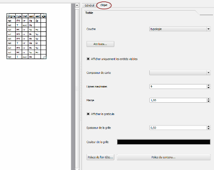
- oo.png
- 423×336
- //27/03/2011 19:23//
- 20.3 KB
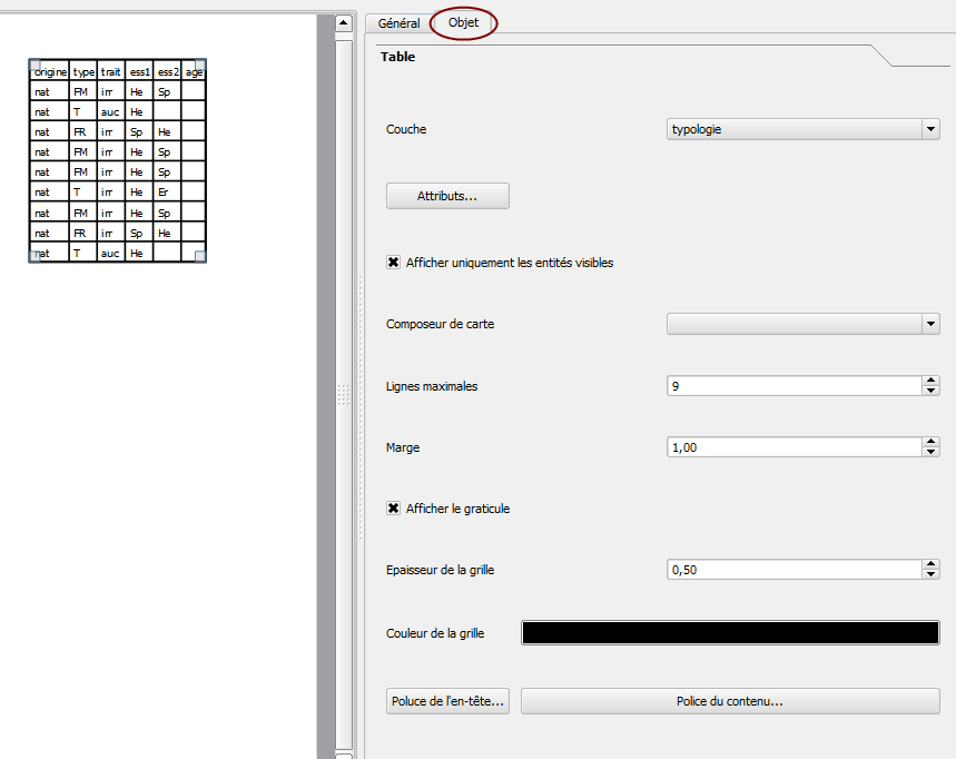
- qgis_etat.png
- 859×682
- //23/02/2011 19:40//
- 31.6 KB

- qgis_etat0.png
- 36×35
- //23/02/2011 19:40//
- 1.3 KB
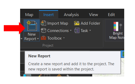
- report_2.png
- 463×289
- //23/01/2020 11:57//
- 55 KB
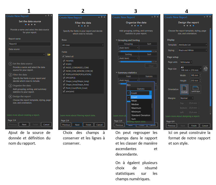
- report_tuto.png
- 868×742
- //23/01/2020 12:11//
- 195.1 KB
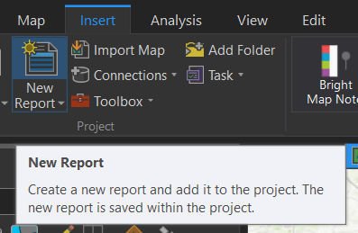
- report.png
- 397×259
- //23/01/2020 11:54//
- 19.5 KB
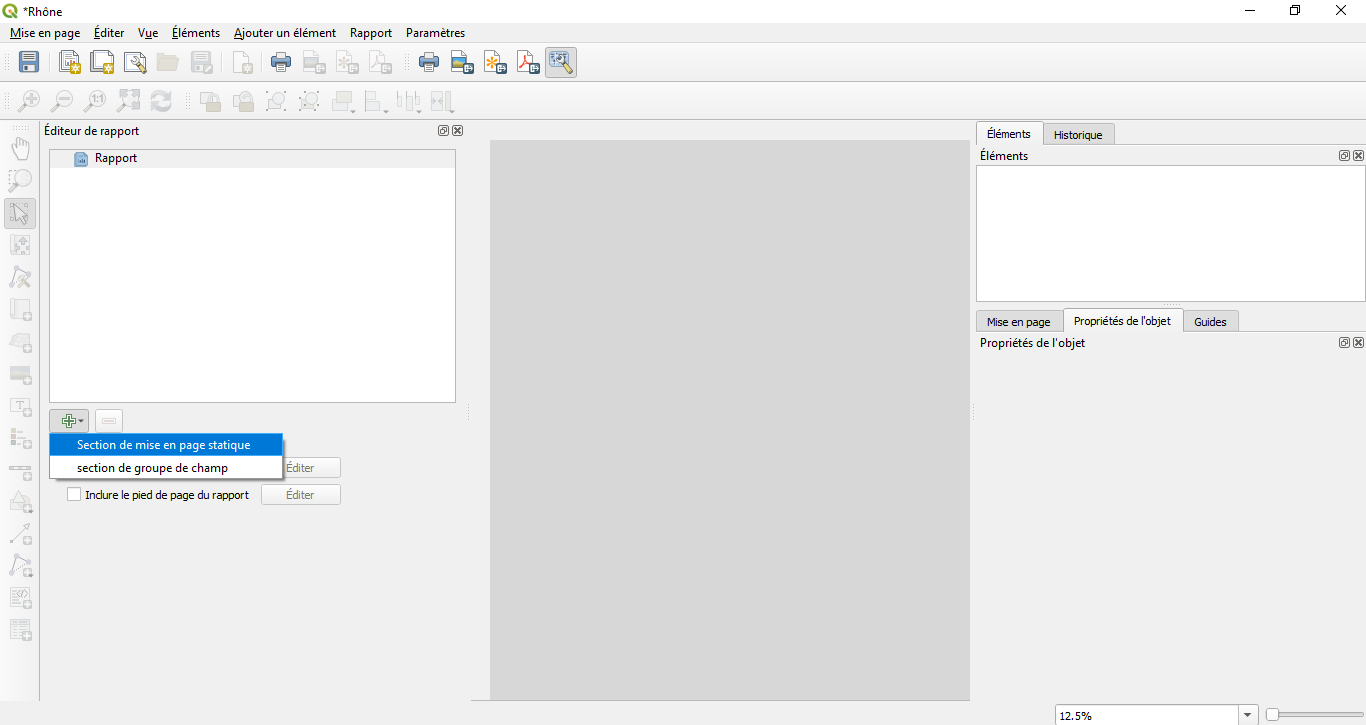
- section_rapport.png
- 1366×725
- //26/04/2020 16:48//
- 44.6 KB
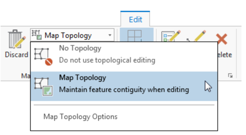
- topo1.png
- 817×449
- //01/02/2020 09:58//
- 48 KB
- topo2.png
- 1183×1097
- //01/02/2020 10:17//
- 51.6 KB
- topo3.png
- 860×1102
- //01/02/2020 10:29//
- 59.6 KB
- topo4.png
- 846×585
- //01/02/2020 10:36//
- 27.2 KB
- topo5.png
- 713×239
- //01/02/2020 10:42//
- 16.1 KB
Fichier
- Voir
- Historique
- Date :
- //08/05/2020 17:25//
- Nom de fichier :
- carte_web.png
- Format :
- PNG
- Taille :
- 69KB
- Largeur :
- 1031
- Hauteur :
- 288
- Utilisé sur:
- arcgispro
fonctions/visualisation/publication/echanges.txt · Dernière modification : //20/03/2011 14:43// de claudie


