fonctions:visualisation:symbolisation:2info:qgis3
Gestionnaire Multimédia
Catégories
Choisissez une catégorie
Sélection de fichiers
- Sélection de fichiers
- Envoyer
- Rechercher
Fichiers dans fonctions:visualisation:symbolisation:symbproportion
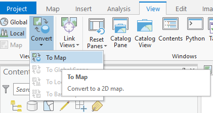
- 0001arcgis_mep.png
- 421×223
- //23/01/2020 12:04//
- 20.8 KB
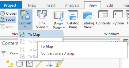
- 001arcgis.png
- 421×223
- //23/01/2020 12:04//
- 20.8 KB
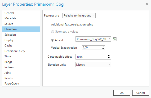
- 002arcgis.png
- 638×415
- //23/01/2020 12:08//
- 20.7 KB
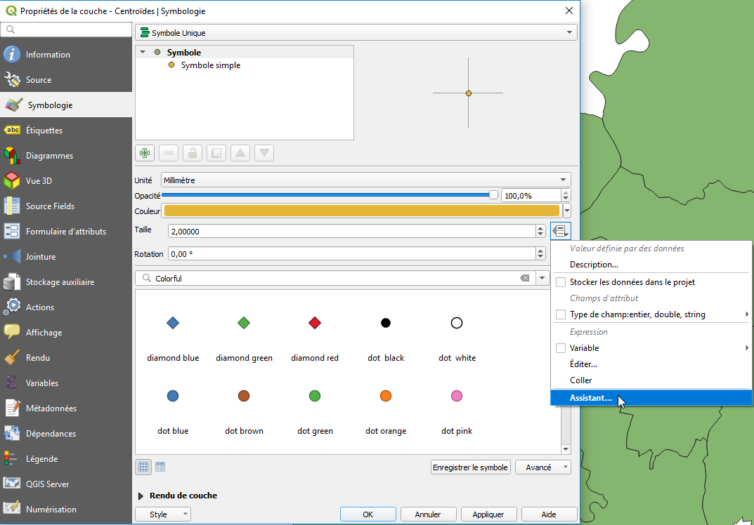
- assistance_pts_propor.png
- 1073×748
- //22/01/2020 12:17//
- 67.9 KB
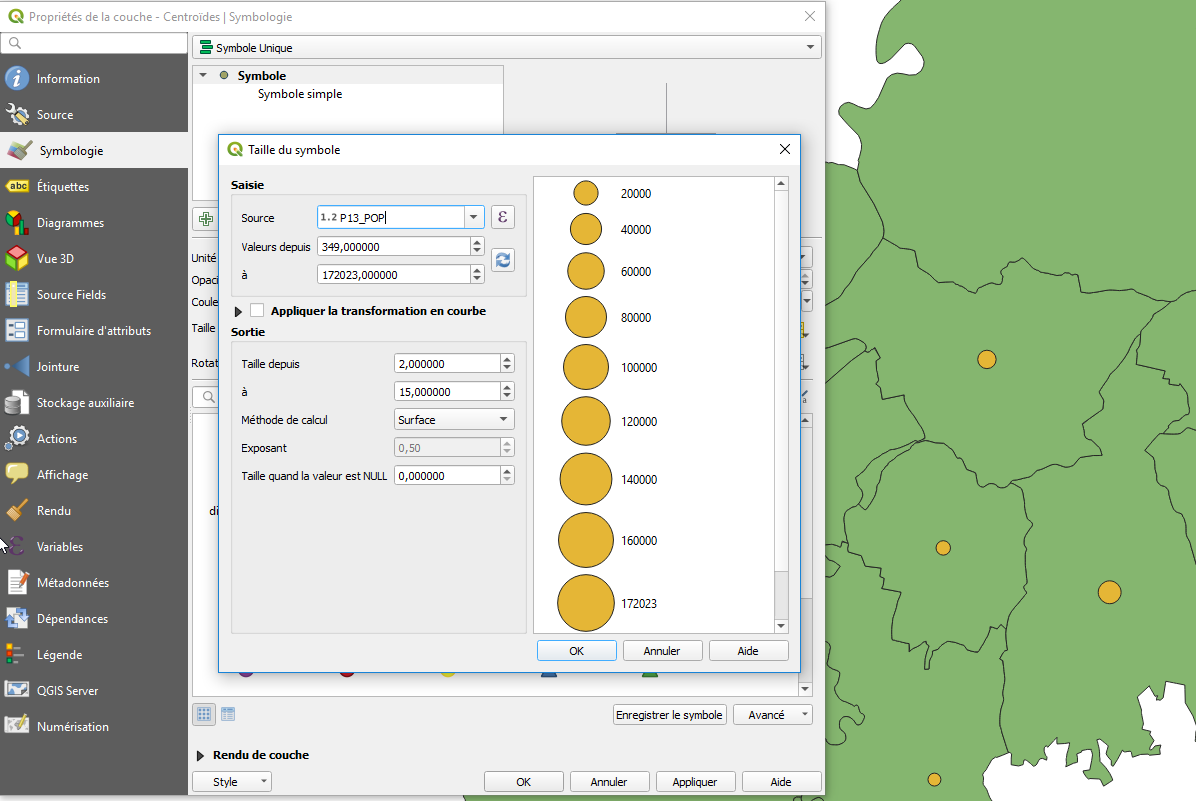
- assitant_centroide.png
- 1196×801
- //22/01/2020 12:25//
- 103.3 KB
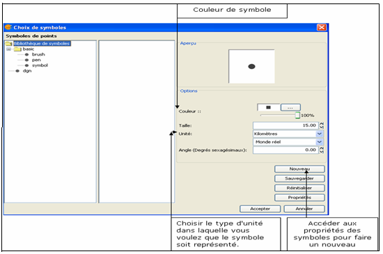
- biblio_symbol.png
- 550×365
- //26/03/2011 23:05//
- 44.3 KB
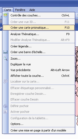
- carteprismatique.jpg
- 298×534
- //31/01/2012 16:06//
- 106.6 KB
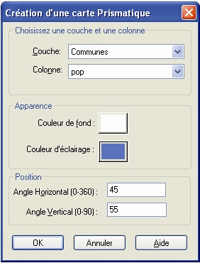
- carteprismatique2.jpg
- 282×370
- //31/01/2012 16:06//
- 83.3 KB
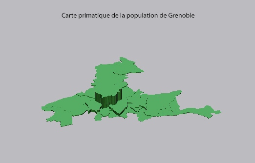
- carteprismatique3.jpg
- 522×334
- //31/01/2012 16:07//
- 61.9 KB
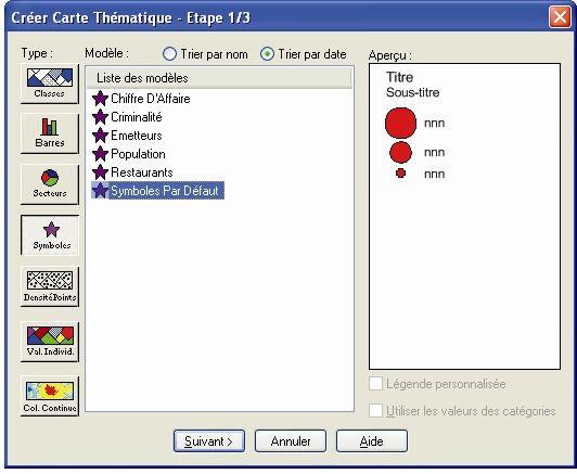
- cartethmeatique.jpg
- 532×437
- //31/01/2012 16:18//
- 110.4 KB
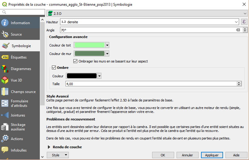
- carto_prismatique1_qgis3.png
- 825×530
- //07/01/2019 11:42//
- 44.6 KB
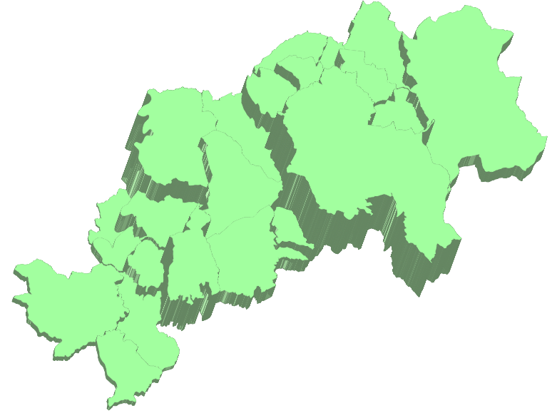
- carto_prismatique2_qgis3.png
- 781×579
- //07/01/2019 11:41//
- 114.4 KB
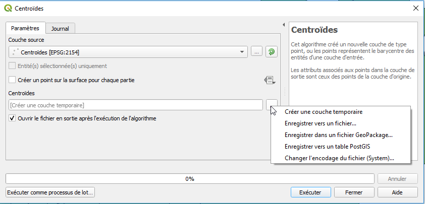
- centroide_option.png
- 842×405
- //22/01/2020 12:08//
- 22.3 KB
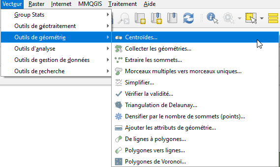
- centroides.png
- 569×340
- //22/01/2020 12:08//
- 23 KB
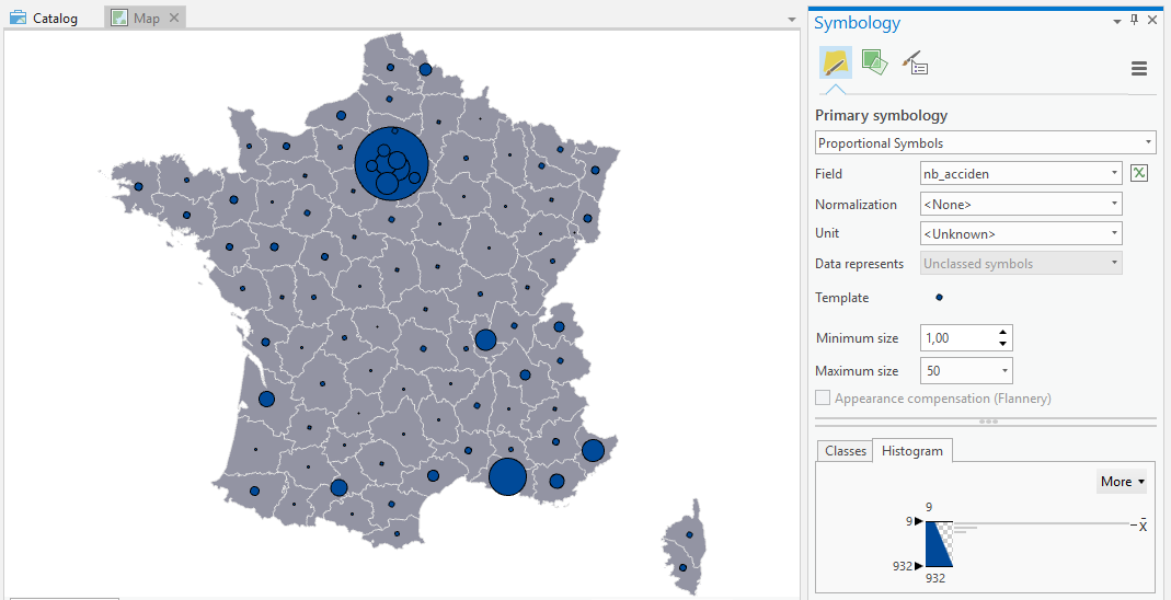
- cercle_arcgispro.png
- 1069×548
- //27/02/2019 12:39//
- 57.9 KB
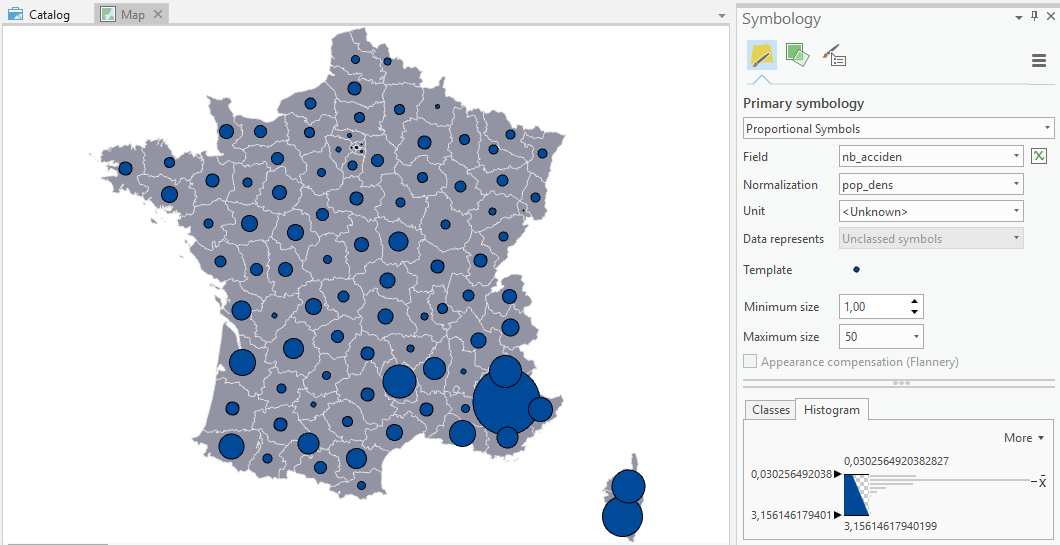
- cercle2_arcgispro.png
- 1060×545
- //27/02/2019 12:39//
- 64.2 KB
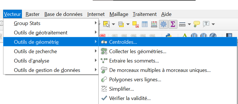
- cerclespro1.png
- 837×366
- //24/01/2021 18:19//
- 36.4 KB
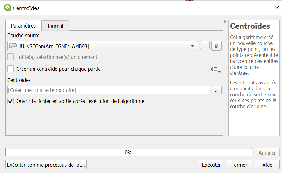
- cerclespro2.png
- 900×553
- //24/01/2021 18:19//
- 39.9 KB
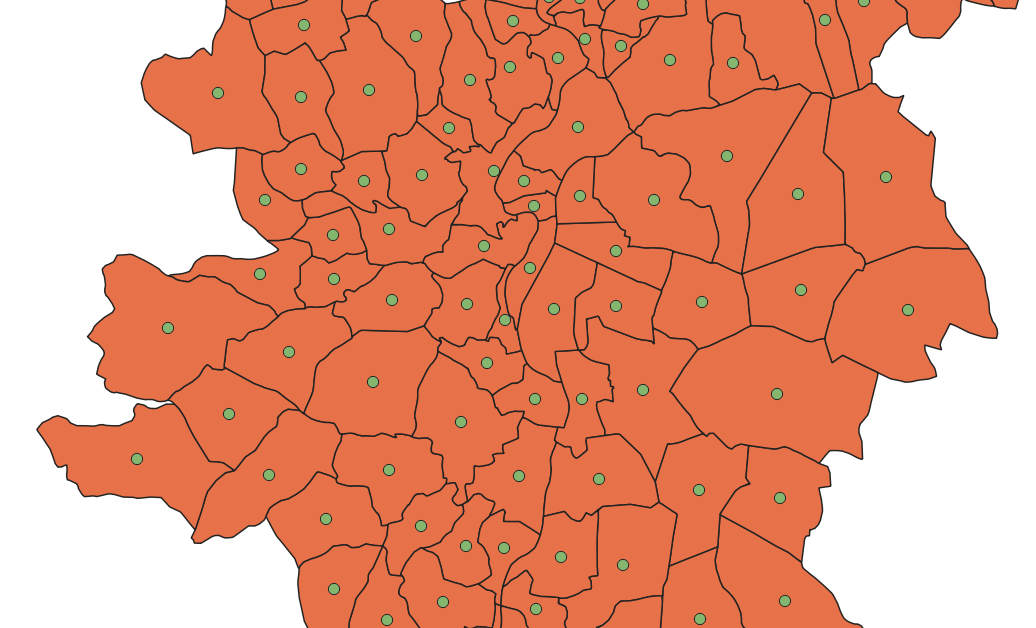
- cerclespro3.png
- 1036×628
- //24/01/2021 18:19//
- 169.1 KB
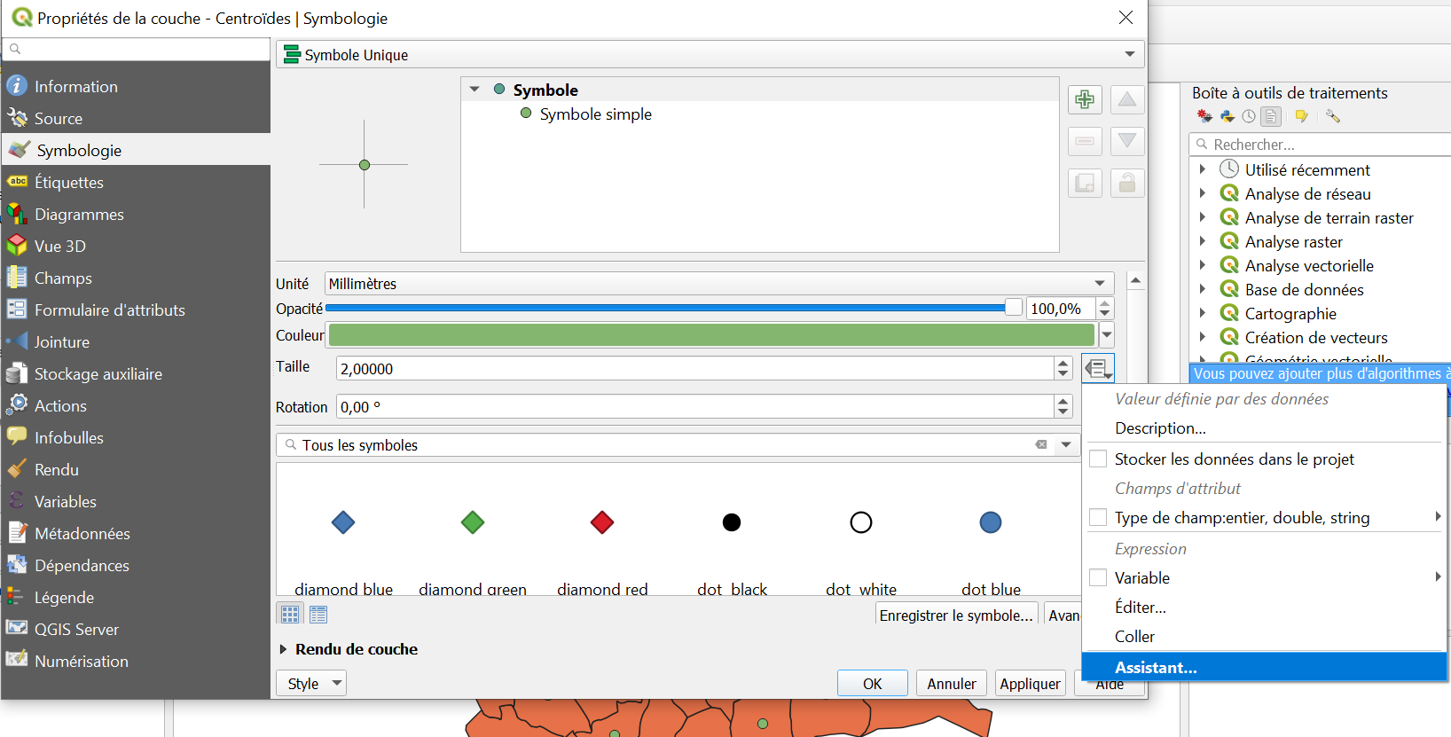
- cerclespro4.png
- 1636×831
- //24/01/2021 18:19//
- 135.9 KB
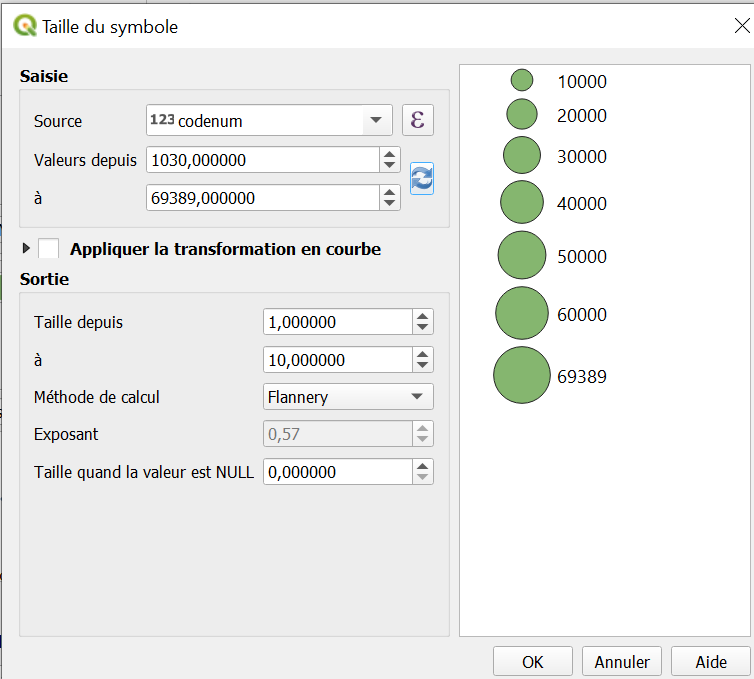
- cerclespro5.png
- 754×679
- //24/01/2021 18:19//
- 42.1 KB
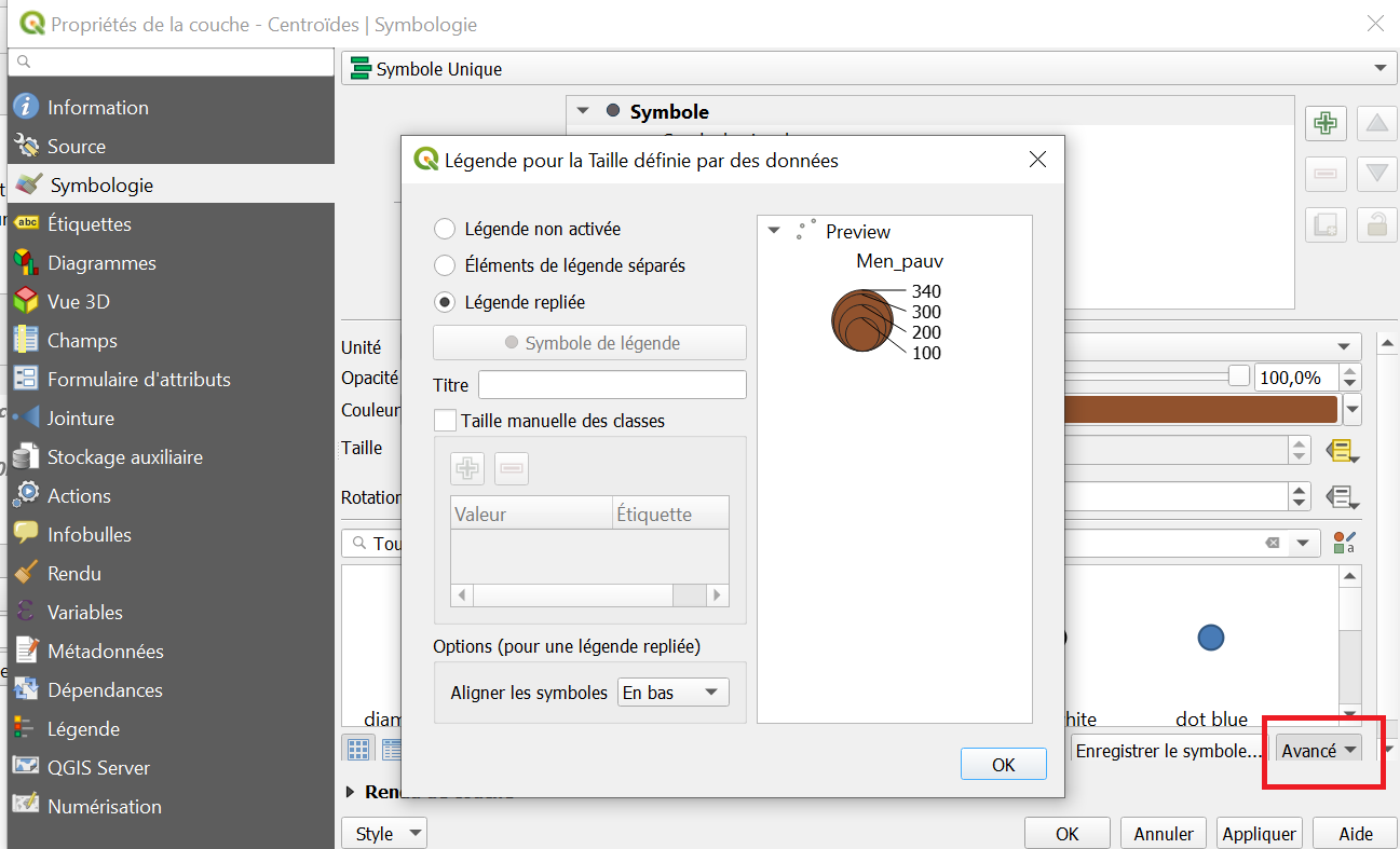
- cerclespro6.png
- 1297×787
- //24/01/2021 18:19//
- 112.6 KB
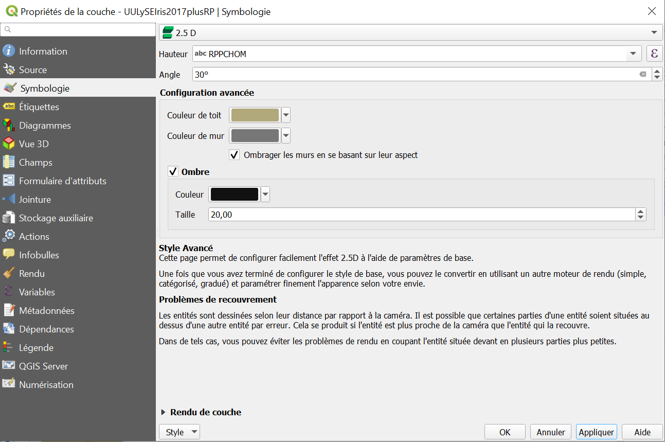
- cerclespro7.png
- 1293×859
- //24/01/2021 18:19//
- 88 KB
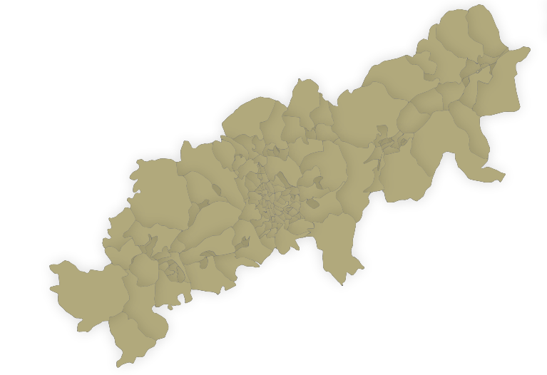
- cerclespro8.png
- 767×526
- //24/01/2021 18:19//
- 117.4 KB
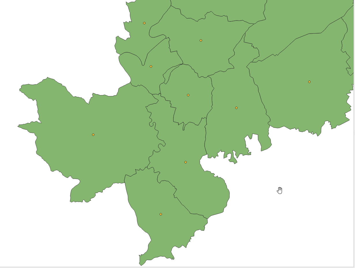
- couche_centroide.png
- 1230×927
- //22/01/2020 12:13//
- 74.5 KB
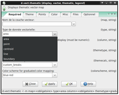
- grass_symb1.png
- 380×303
- //19/04/2011 21:37//
- 56.8 KB
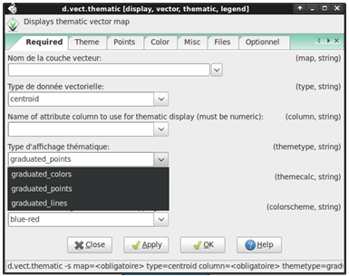
- grass_symb2.png
- 385×305
- //19/04/2011 21:37//
- 63.2 KB
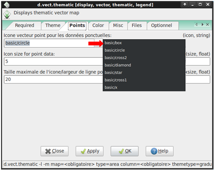
- grass_symb3.png
- 425×338
- //19/04/2011 21:37//
- 61.8 KB
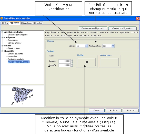
- hi.png
- 550×522
- //26/03/2011 23:01//
- 36.1 KB
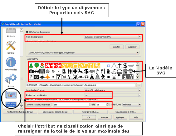
- iiii.png
- 564×435
- //26/03/2011 23:47//
- 40.5 KB
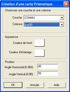
- prismatique.gif
- 281×367
- //23/02/2011 19:41//
- 8.5 KB
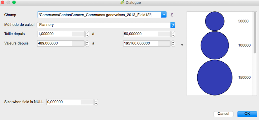
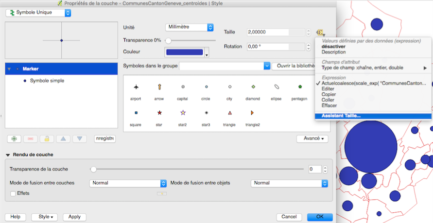
- proportion_dialogue.png
- 887×410
- //22/10/2015 19:35//
- 118.8 KB
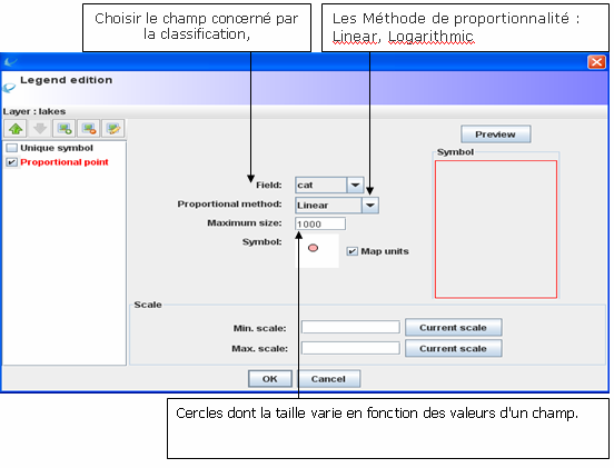
- proportion_size.png
- 891×459
- //22/10/2015 19:35//
- 213.6 KB
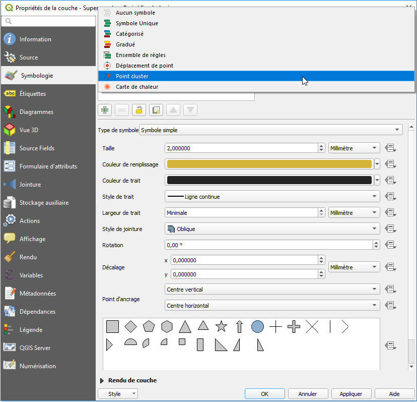
- proportionels.png
- 552×421
- //27/03/2011 00:33//
- 42.6 KB
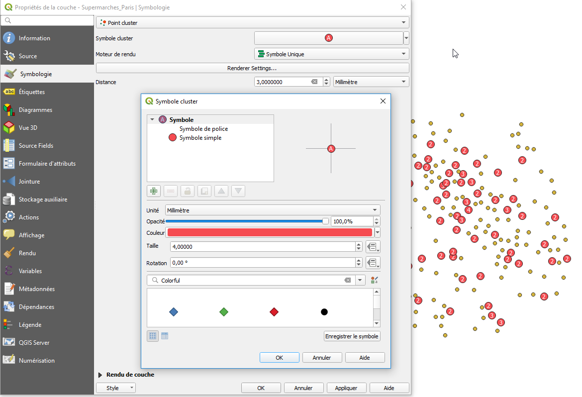
- pts_cluster1.png
- 828×797
- //22/01/2020 12:44//
- 57 KB
- pts_cluster2.png
- 1170×798
- //22/01/2020 12:44//
- 82.5 KB
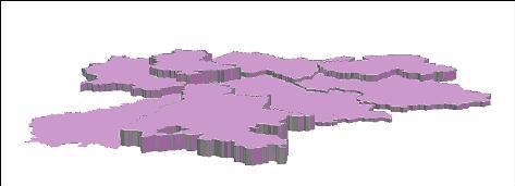
- symbol2.jpg
- 473×171
- //23/02/2011 19:41//
- 9.7 KB
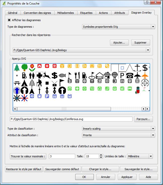
- symboles_proportionnel.jpg
- 648×735
- //23/02/2011 19:41//
- 88.8 KB
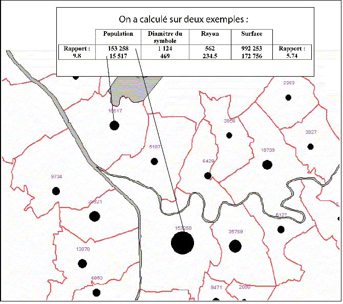
- symboles_proportionnels.gif
- 670×595
- //23/02/2011 19:41//
- 46.7 KB
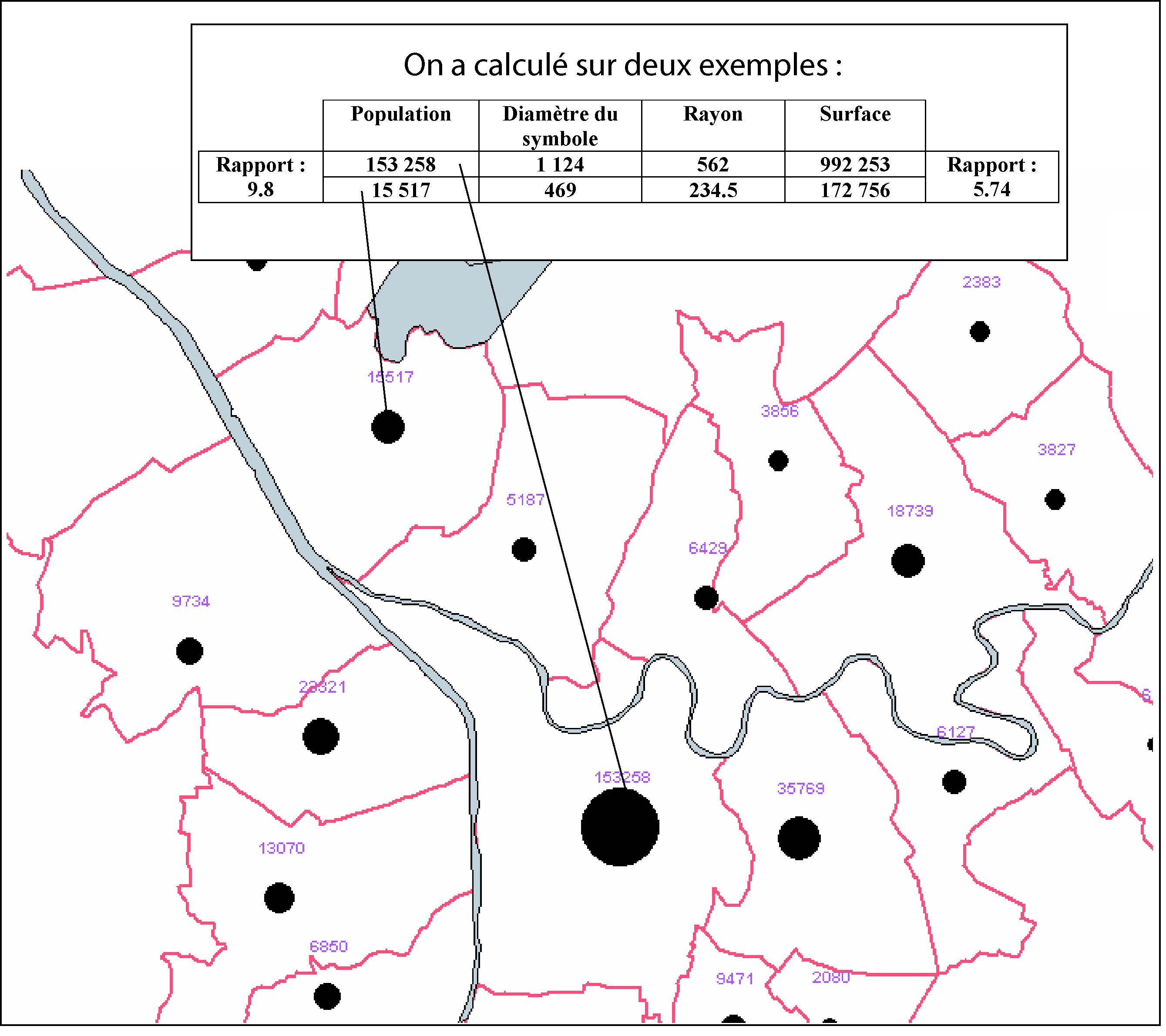
- symboles_proportionnels.jpg
- 2679×2381
- //23/02/2011 19:41//
- 1.2 MB
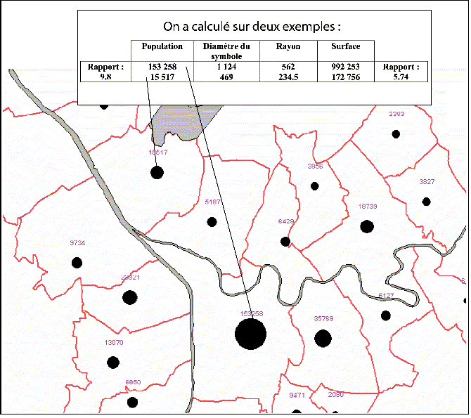
- symboles_proportionnels1.gif
- 670×595
- //23/02/2011 19:41//
- 46.8 KB
Fichier
- Voir
- Éditer
- Historique
- Date :
- //31/01/2012 16:06//
- Nom de fichier :
- carteprismatique2.jpg
- Format :
- JPEG
- Taille :
- 83KB
- Largeur :
- 282
- Hauteur :
- 370
- Utilisé sur:
- mapinfo
fonctions/visualisation/symbolisation/2info/qgis3.txt · Dernière modification : //23/01/2020 10:00// de scheffler


