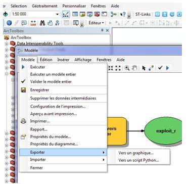
fonctions:automatisation:macrocommande:mapinfo
Gestionnaire Multimédia
Catégories
Choisissez une catégorie
Sélection de fichiers
- Sélection de fichiers
- Envoyer
- Rechercher
Fichiers dans fonctions:automatisation:langages

- barremodif.png
- 1293×133
- //31/01/2016 16:24//
- 46.3 KB
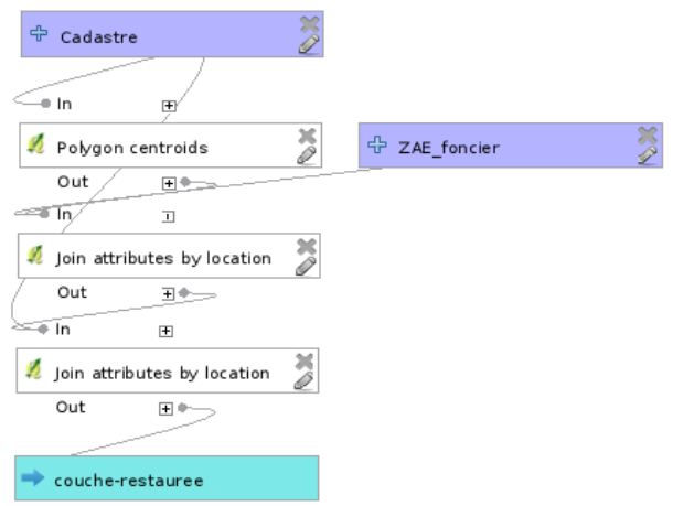
- captufonc.png
- 610×459
- //31/01/2016 16:24//
- 50.9 KB
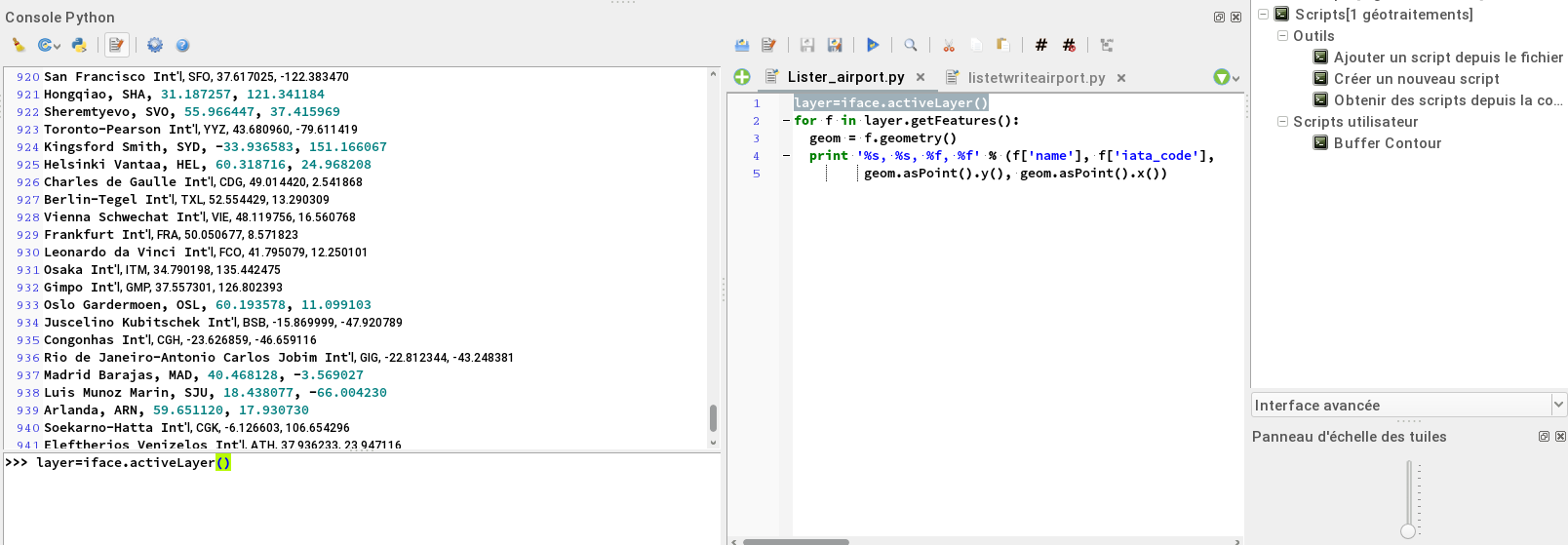
- consolescript.png
- 1608×559
- //31/01/2016 16:24//
- 149.4 KB

- ed.png
- 27×24
- //10/02/2019 17:23//
- 616 B
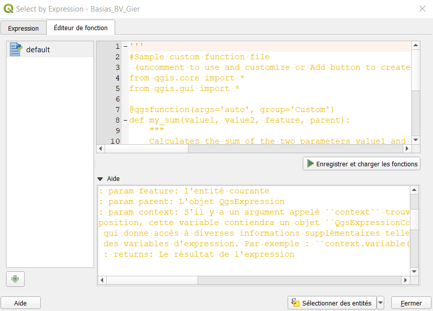
- editeur_defonction_qgis3.png
- 861×619
- //27/01/2021 15:30//
- 34.6 KB

- editor.png
- 1520×334
- //10/02/2019 17:25//
- 32.9 KB
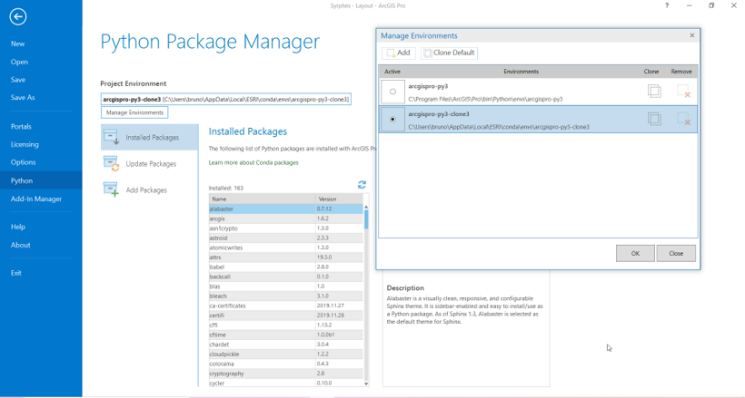
- env_python.png
- 820×439
- //22/01/2020 10:38//
- 93 KB
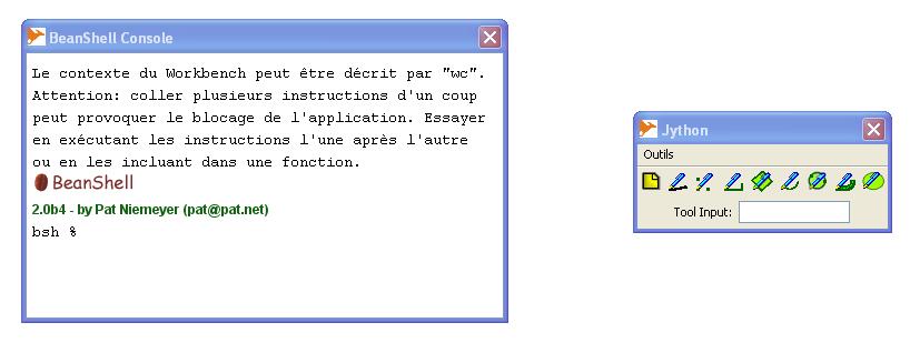
- fenetre_langage_dev.jpg
- 818×318
- //23/02/2011 19:36//
- 34.6 KB
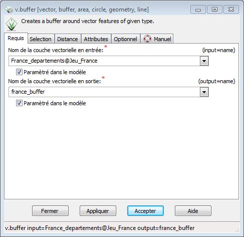
- grass_lang_1.jpg
- 487×473
- //22/04/2015 15:06//
- 43.7 KB
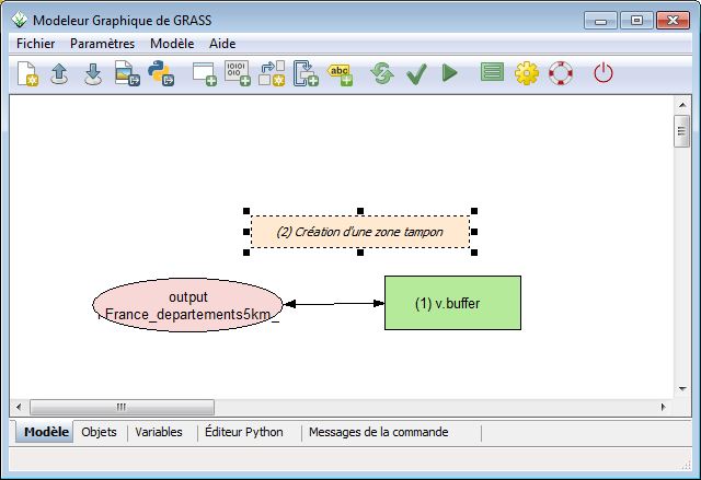
- grass_lang_2.jpg
- 640×439
- //22/04/2015 15:06//
- 47.3 KB
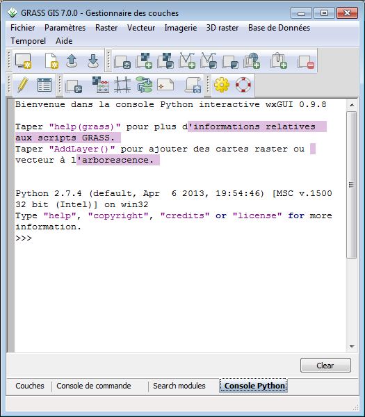
- grass_lang_3.jpg
- 525×600
- //22/04/2015 15:06//
- 68.7 KB
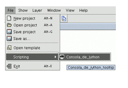
- gvsig-jython.gif
- 417×288
- //23/02/2011 19:36//
- 31 KB

- gvsig-pref.jpg
- 34×30
- //23/02/2011 19:36//
- 954 B
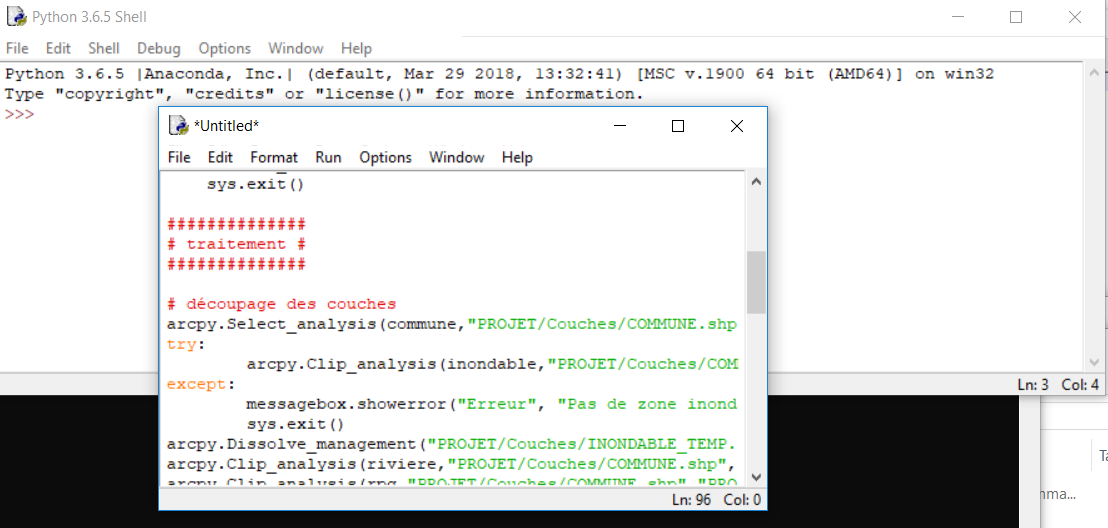
- idle.png
- 1108×528
- //27/02/2019 13:17//
- 130.9 KB
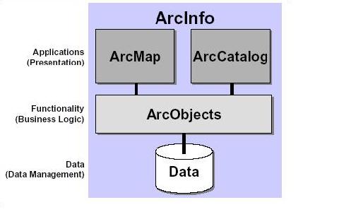
- imagearcobjects1.jpg
- 480×300
- //23/02/2011 19:36//
- 17.6 KB

- jupyter.png
- 945×196
- //22/01/2020 10:38//
- 34.6 KB
- koko.png
- 269×337
- //14/09/2014 17:44//
- 7.3 KB
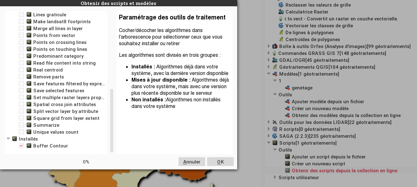
- listescript.png
- 1329×596
- //31/01/2016 16:24//
- 184.8 KB
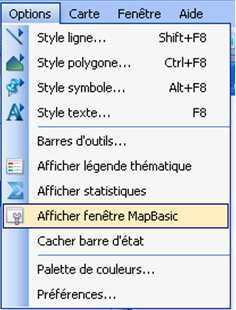
- mapbasic_1_.png
- 236×310
- //02/02/2012 21:49//
- 41.5 KB
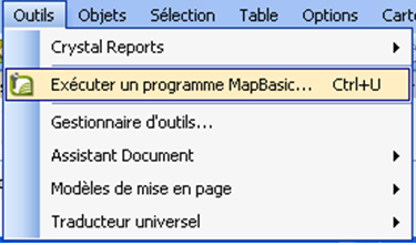
- mapbasic_2_.png
- 375×221
- //02/02/2012 21:50//
- 40.9 KB
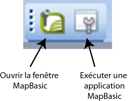
- mapbasic_3_.png
- 433×340
- //02/02/2012 21:50//
- 22.8 KB

- mapbasic_4_.png
- 1139×152
- //02/02/2012 21:53//
- 17.4 KB
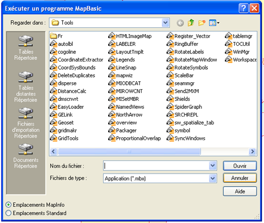
- mapbasic_5_.png
- 522×442
- //02/02/2012 21:54//
- 107.5 KB

- mapbasic2.png
- 570×76
- //20/02/2012 13:07//
- 7.1 KB
- mapbasic3.png
- 260×204
- //20/02/2012 13:08//
- 30.2 KB
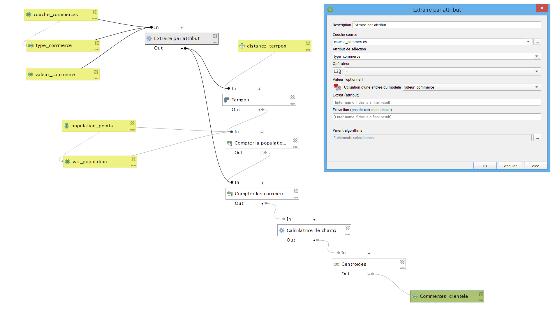
- modele_graphique_qgis3.png
- 1905×1088
- //27/01/2021 15:15//
- 90.7 KB
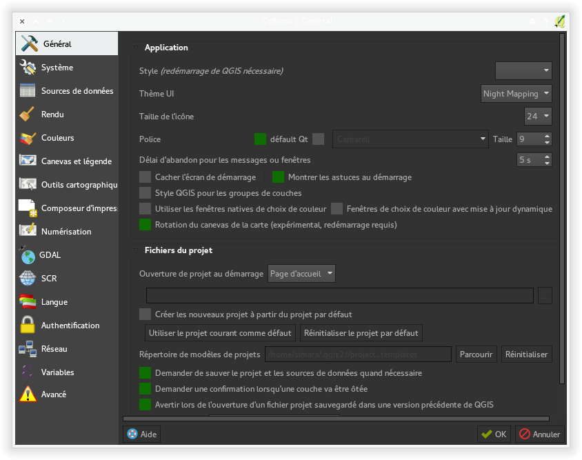
- nightmapping.png
- 844×667
- //31/01/2016 16:24//
- 99 KB
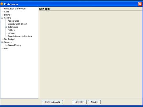
- preferance-gvsig.jpg
- 496×371
- //23/02/2011 19:36//
- 14.9 KB
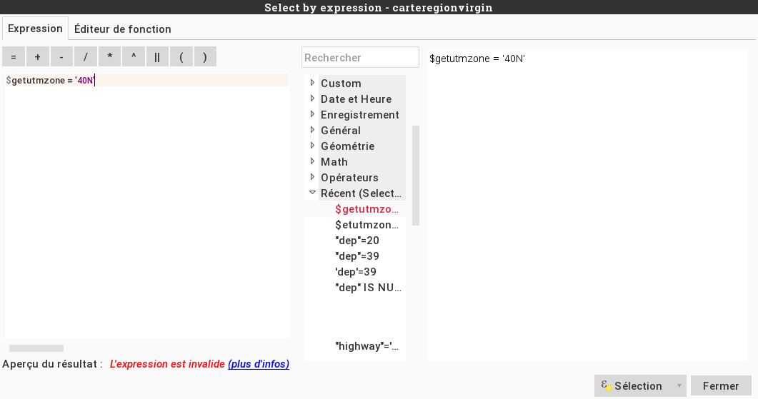
- rappelfonction.png
- 1061×559
- //31/01/2016 16:24//
- 43.7 KB
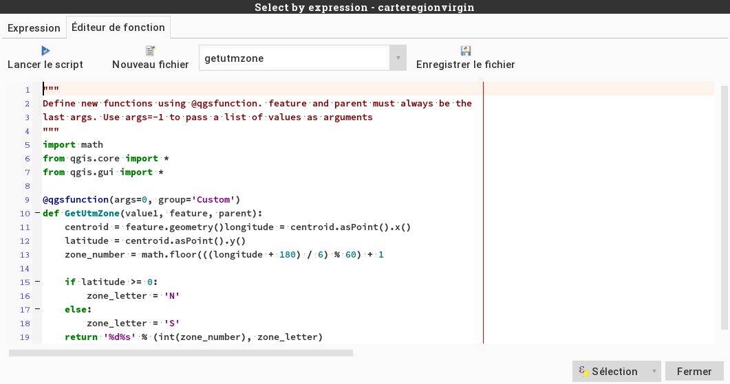
- select_by_expression.png
- 1061×559
- //31/01/2016 16:24//
- 64.5 KB

- traitparlot.png
- 920×233
- //31/01/2016 16:24//
- 8.6 KB
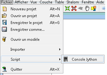
- tt.png
- 343×241
- //27/03/2011 15:36//
- 9 KB
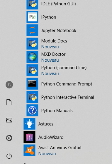
- windows_python.png
- 382×556
- //22/01/2020 10:32//
- 172.6 KB
Fichier
- Voir
- Éditer
- Historique
- Date :
- //14/02/2012 12:12//
- Nom de fichier :
- export_python.jpg
- Photographe :
- Groupe ArcGIS 2012
- Format :
- JPEG
- Taille :
- 34KB
- Largeur :
- 376
- Hauteur :
- 364
- Utilisé sur:
- arcgis
fonctions/automatisation/macrocommande/mapinfo.txt · Dernière modification : //09/12/2014 15:12// de faure


