fonctions:integration:digitalisation:modes
Gestionnaire Multimédia
Catégories
Choisissez une catégorie
Sélection de fichiers
- Sélection de fichiers
- Envoyer
- Rechercher
Fichiers dans fonctions:integration:digitalisation:modes

- afficher_attributs.png
- 36×36
- //20/06/2011 22:15//
- 382 B

- afficher_categories.png
- 74×36
- //20/06/2011 22:15//
- 623 B

- ajouter_couche.jpg
- 28×26
- //23/02/2011 19:38//
- 9.9 KB

- ajouter_une_entite.png
- 38×38
- //15/11/2015 17:01//
- 1019 B

- annuler.png
- 31×32
- //20/06/2011 23:11//
- 656 B
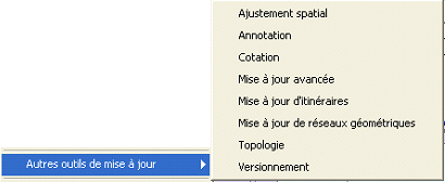
- autres_outils_miseajour.jpg
- 410×168
- //23/02/2011 19:38//
- 60.3 KB

- barre_digit.jpg
- 329×61
- //23/02/2011 19:38//
- 4.9 KB

- barre_doutils_dessin.jpg
- 689×49
- //23/02/2011 19:38//
- 51.2 KB
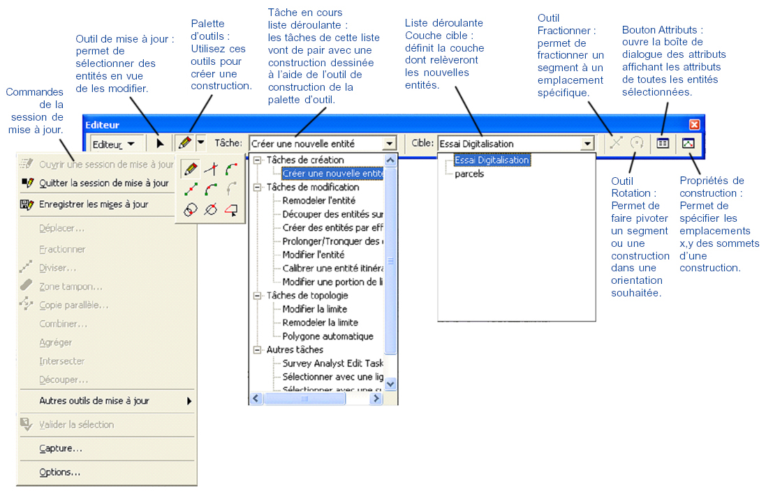
- barre_editeur2.jpg
- 1097×704
- //23/02/2011 19:39//
- 498.6 KB
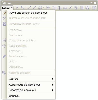
- barre_outil_editeur.png
- 409×418
- //20/02/2012 17:08//
- 15.4 KB

- barre_outils.png
- 773×43
- //20/06/2011 22:50//
- 9 KB

- barredoutils.png
- 350×63
- //30/01/2021 11:19//
- 7.2 KB

- barreoutildessin.png
- 532×175
- //28/03/2012 10:59//
- 15.4 KB

- barreoutils2.png
- 632×66
- //30/01/2021 11:34//
- 11.4 KB

- bouton_edition_qgis.jpg
- 37×36
- //23/02/2011 19:38//
- 1 KB
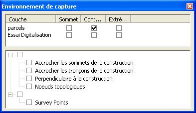
- capture.jpg
- 393×227
- //23/02/2011 19:38//
- 21.3 KB
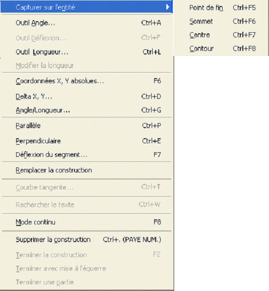
- clicdroit_digitalisation.jpg
- 534×577
- //23/02/2011 19:39//
- 206.2 KB

- couche_edition.png
- 97×37
- //20/06/2011 22:54//
- 1.6 KB

- couper_ligne.png
- 33×34
- //20/06/2011 23:04//
- 442 B
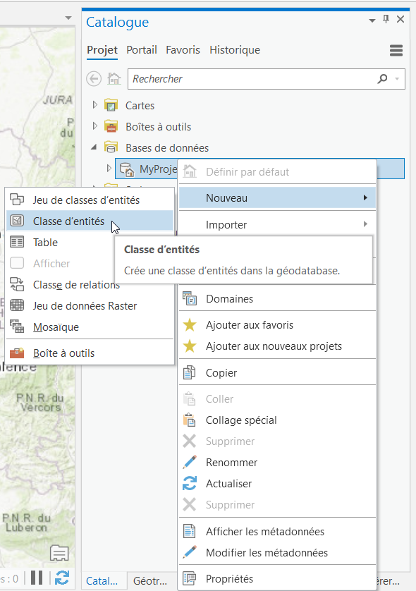
- creation_couche_arcgispro.png
- 590×838
- //23/01/2020 10:03//
- 147.9 KB
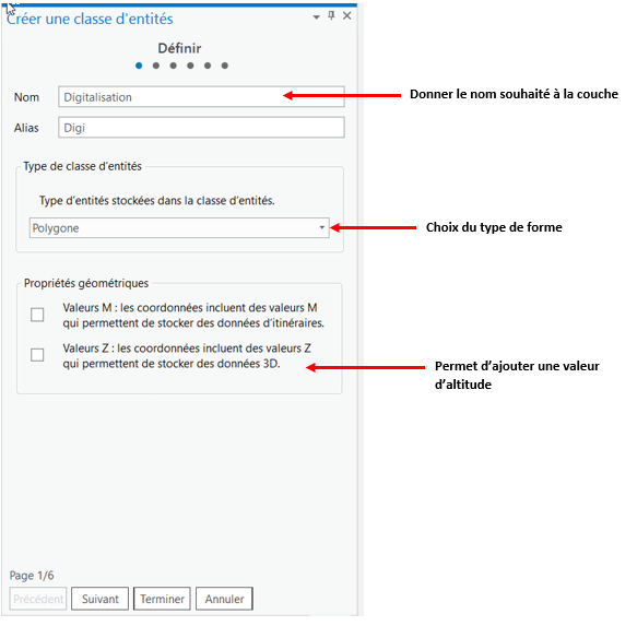
- creation_couche_geotraitement.png
- 583×573
- //23/01/2020 10:10//
- 55.1 KB

- creer_entites_arcgispro.png
- 1029×271
- //23/01/2020 10:15//
- 60.9 KB
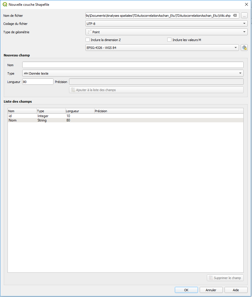
- creer_une_couche.png
- 872×1027
- //22/01/2020 09:41//
- 34 KB

- deplaceent_zone_d_affichage.png
- 38×35
- //20/06/2011 22:01//
- 320 B

- deplacer_supprimer_obj.png
- 70×37
- //20/06/2011 23:07//
- 950 B

- deplacer_supprimer_objet.png
- 73×36
- //20/06/2011 22:22//
- 622 B

- digit_avancee.jpg
- 365×61
- //23/02/2011 19:39//
- 5.6 KB

- digitaliser_vecteur.png
- 149×40
- //20/06/2011 22:57//
- 2.1 KB

- digitaliser.png
- 147×37
- //20/06/2011 22:17//
- 724 B

- distance_de_raccrochage.jpg
- 25×43
- //23/02/2011 19:39//
- 23.2 KB

- editer_ligne_contour.png
- 36×36
- //20/06/2011 22:20//
- 289 B

- editer_ligne.png
- 36×33
- //20/06/2011 23:04//
- 695 B

- enregistrement.png
- 30×38
- //15/11/2015 17:23//
- 1.1 KB

- gcsig4.jpg
- 25×23
- //14/09/2014 12:28//
- 835 B
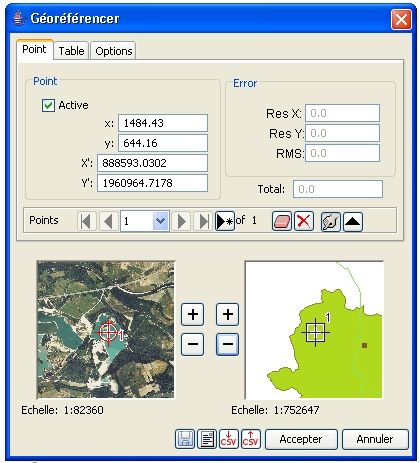
- georef_gvsig.jpg
- 420×463
- //14/09/2014 12:28//
- 129.4 KB
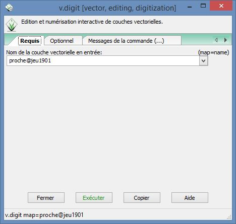
- grass_digitalisation_1.png
- 468×445
- //19/01/2015 17:57//
- 100.8 KB
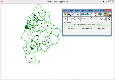
- grass_digitalisation_2.png
- 465×326
- //19/01/2015 18:12//
- 110.4 KB

- grass_digitalisation_3.png
- 374×62
- //19/01/2015 17:57//
- 28.1 KB
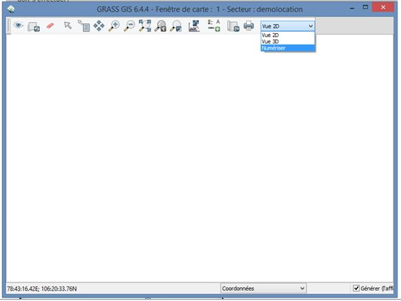
- grass_digitalisation_4.png
- 583×438
- //19/01/2015 17:57//
- 66.7 KB
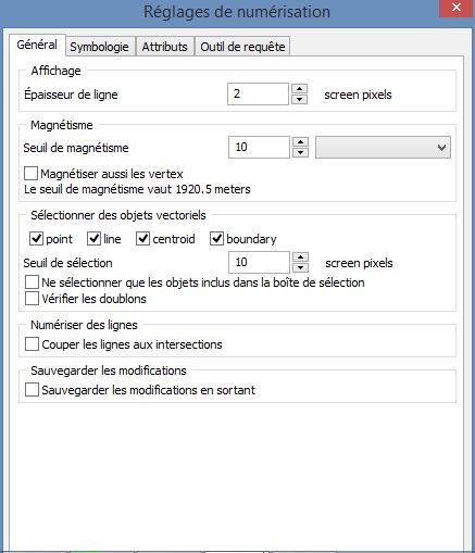
- grass_digitalisation_5.png
- 437×509
- //19/01/2015 17:57//
- 138.4 KB
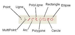
- gvsig1.jpg
- 314×147
- //14/09/2014 12:28//
- 23 KB
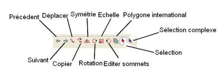
- gvsig3.jpg
- 448×155
- //14/09/2014 12:28//
- 10.6 KB

- gvsig5.jpg
- 28×26
- //14/09/2014 12:28//
- 937 B

- gvsig6.jpg
- 28×27
- //14/09/2014 12:28//
- 925 B

- icone_afficher_table.jpg
- 95×82
- //23/02/2011 19:39//
- 14 KB

- icone_attribut_arcgispro.png
- 92×27
- //23/01/2020 11:35//
- 710 B

- icone_dessiner.jpg
- 32×30
- //23/02/2011 19:39//
- 9.7 KB
- icone_selection.jpg
- 124×100
- //23/02/2011 19:39//
- 13 KB

- logo_donnees_arcgispro.png
- 88×86
- //23/01/2020 09:59//
- 2 KB
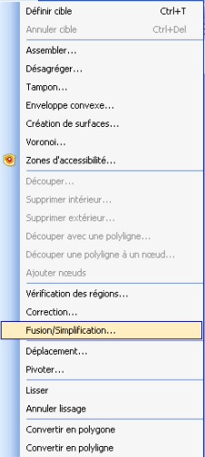
- mapinf_fusion1.png
- 226×504
- //28/03/2012 11:07//
- 21.5 KB
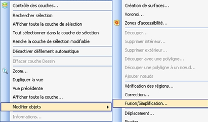
- mapinfo_fusion2.png
- 411×242
- //28/03/2012 11:04//
- 48.3 KB

- mapwindow_add_a_new_regular_shape_to_current_shapefile.png
- 250×66
- //23/02/2011 19:39//
- 5.5 KB

- mapwindow_add_a_vertex.png
- 18×22
- //23/02/2011 19:39//
- 348 B

- mapwindow_add_new_shape_to_current_shapefile.png
- 210×67
- //23/02/2011 19:39//
- 4.9 KB

- mapwindow_agrandir_reduire_un_objet.png
- 13×18
- //23/02/2011 19:39//
- 261 B
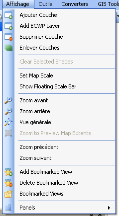
- mapwindow_ajouter_couche_1.png
- 239×435
- //23/02/2011 19:39//
- 16.8 KB
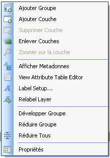
- mapwindow_ajouter_couche_2.png
- 219×315
- //23/02/2011 19:39//
- 12.1 KB

- mapwindow_ajouter_couche_3.png
- 177×97
- //23/02/2011 19:39//
- 6.9 KB

- mapwindow_copier_coller.png
- 48×25
- //23/02/2011 19:39//
- 1007 B

- mapwindow_create_new_shapefile.png
- 136×65
- //23/02/2011 19:39//
- 3.3 KB

- mapwindow_deplacer_un_objet.png
- 29×28
- //23/02/2011 19:39//
- 767 B

- mapwindow_erase_couches.png
- 45×19
- //23/02/2011 19:39//
- 1.2 KB

- mapwindow_erase.png
- 44×15
- //23/02/2011 19:39//
- 1.2 KB

- mapwindow_merge_two_shapes.png
- 22×19
- //23/02/2011 19:39//
- 751 B

- mapwindow_move_a_vertex.png
- 30×25
- //23/02/2011 19:39//
- 697 B

- mapwindow_new_shapefile_options.png
- 410×136
- //23/02/2011 19:39//
- 10.3 KB

- mapwindow_pivoter_un_objet.png
- 22×22
- //23/02/2011 19:39//
- 424 B

- mapwindow_remove_a_vertex.png
- 22×20
- //23/02/2011 19:39//
- 310 B
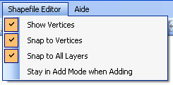
- mapwindow_shapefile_editor.png
- 245×120
- //23/02/2011 19:39//
- 4.2 KB
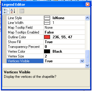
- mapwindow_vertices_proprietes.png
- 305×304
- //23/02/2011 19:39//
- 16.2 KB

- mapwindow_view_attribute_table_editor.png
- 30×24
- //23/02/2011 19:39//
- 684 B
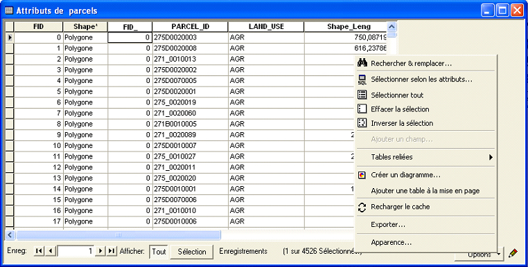
- miseajour_table.jpg
- 762×386
- //23/02/2011 19:39//
- 281.6 KB

- mode_edition.png
- 34×33
- //30/01/2021 10:57//
- 963 B

- mode_edition2.png
- 76×22
- //30/01/2021 11:03//
- 1.3 KB
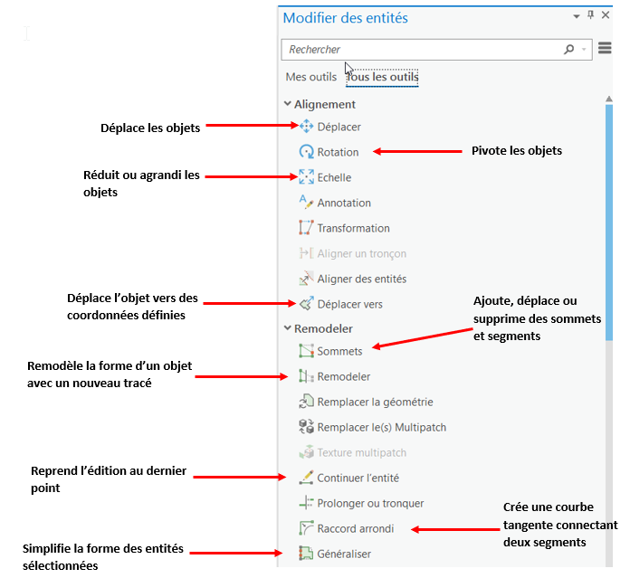
- modification_objet_arcgispro.png
- 696×639
- //23/01/2020 11:17//
- 73.9 KB

- nouvelle_entite.png
- 500×86
- //30/01/2021 11:14//
- 9.1 KB

- nouvellecouche.png
- 1016×200
- //30/01/2021 10:49//
- 27.2 KB

- numerisation_avancee_nbr.png
- 556×59
- //15/11/2015 17:12//
- 14.3 KB

- numerisation_avancee.png
- 595×73
- //22/01/2020 09:52//
- 11.3 KB
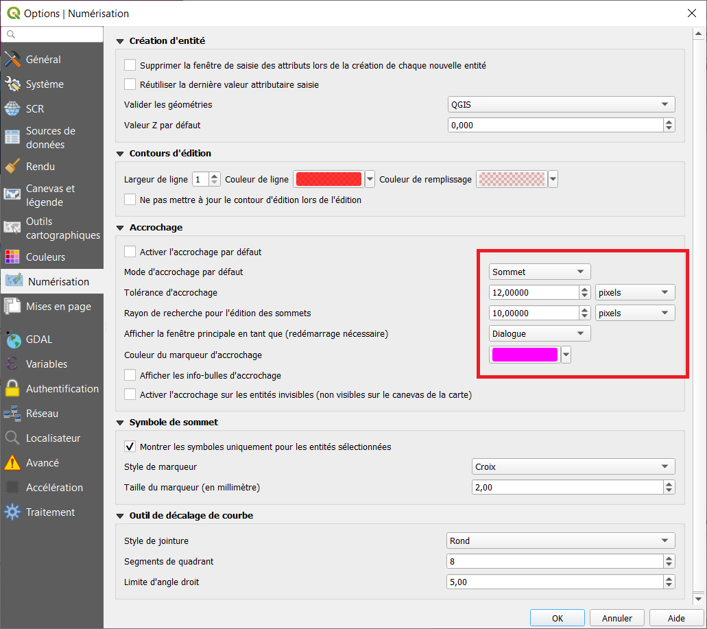
- numerisation.png
- 1031×917
- //30/01/2021 11:46//
- 76.7 KB

- operation_attribut.png
- 36×36
- //20/06/2011 23:09//
- 469 B

- operation_categories.png
- 74×38
- //20/06/2011 23:08//
- 774 B

- operation_vertex.png
- 111×36
- //20/06/2011 22:18//
- 552 B

- operations_vertex.png
- 106×39
- //20/06/2011 23:01//
- 1.3 KB
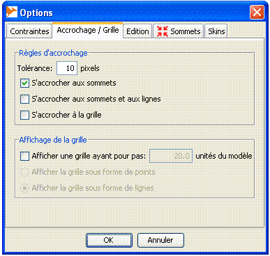
- option.gif
- 387×368
- //23/02/2011 19:39//
- 16.1 KB

- ouils_digitalisation_nbr.png
- 367×75
- //15/11/2015 17:03//
- 8.1 KB
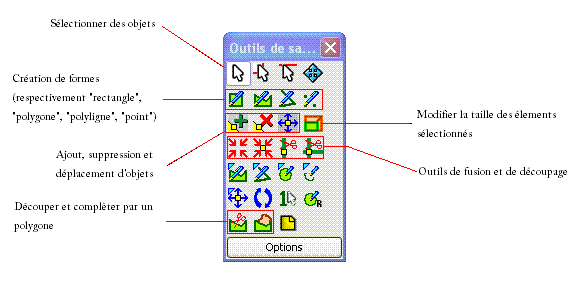
- outil_de_saisie.gif
- 586×284
- //23/02/2011 19:39//
- 12.1 KB
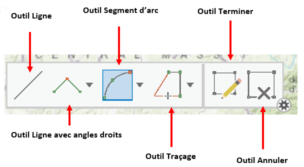
- outil_digitalisation_arcgispro.png
- 608×334
- //23/01/2020 10:27//
- 62.6 KB

- outils_additionnels.png
- 37×36
- //20/06/2011 23:10//
- 871 B
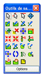
- outils_de_saisie.gif
- 143×259
- //23/02/2011 19:39//
- 8.3 KB
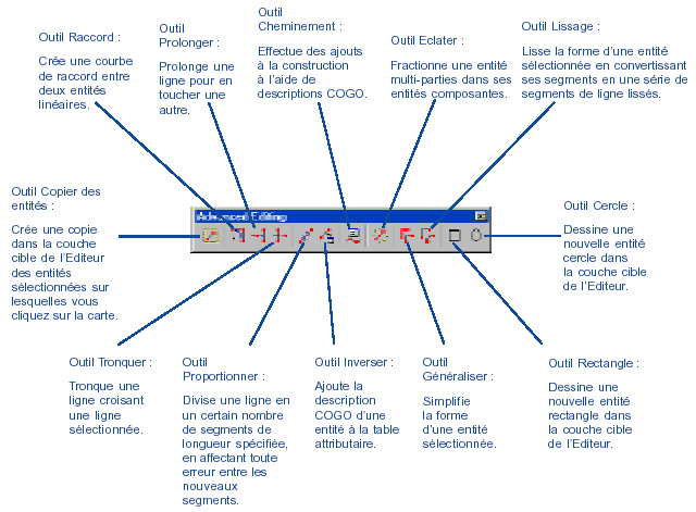
- outils_miseajour_avancee_details.jpg
- 640×471
- //23/02/2011 19:39//
- 253.5 KB

- outils_miseajour_avancee.jpg
- 313×50
- //23/02/2011 19:39//
- 33.9 KB

- ouvrir_reglages.png
- 38×36
- //20/06/2011 22:16//
- 384 B
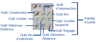
- palette_outils.jpg
- 325×144
- //23/02/2011 19:39//
- 58.6 KB

- quitter.png
- 33×38
- //20/06/2011 23:12//
- 683 B

- redessiner.png
- 36×36
- //20/06/2011 22:00//
- 369 B

- reglages.png
- 32×35
- //20/06/2011 23:11//
- 875 B
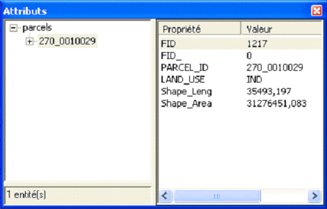
- saisie_donnee_alphanum.jpg
- 470×301
- //23/02/2011 19:39//
- 83.8 KB

- saisie.gif
- 33×30
- //23/02/2011 19:39//
- 1.1 KB
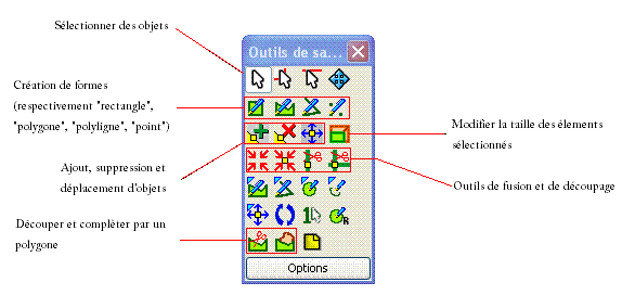
- sans_titre.gif
- 586×284
- //23/02/2011 19:39//
- 12.1 KB

- sauvegarder_quitter.png
- 38×36
- //20/06/2011 22:16//
- 338 B

- save.png
- 32×31
- //30/01/2021 11:49//
- 1 KB

- scinder_ligne.png
- 37×35
- //20/06/2011 22:18//
- 268 B
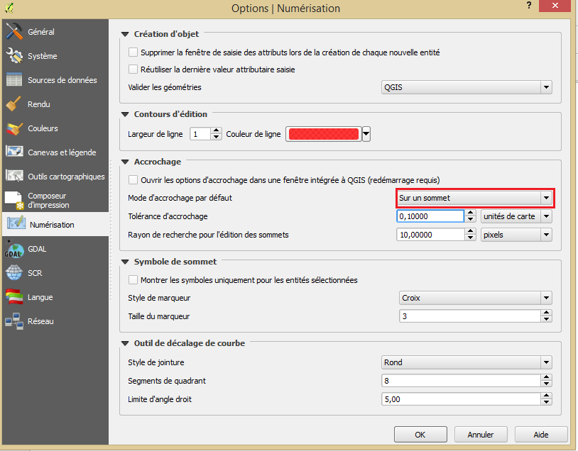
- tolerance_d_accrochage.png
- 814×636
- //15/11/2015 17:20//
- 46.3 KB

- zoom_region.png
- 75×36
- //20/06/2011 22:03//
- 514 B

- zoom.png
- 74×35
- //20/06/2011 22:00//
- 516 B
Fichier
- Voir
- Historique
- Date :
- //20/06/2011 23:11//
- Nom de fichier :
- annuler.png
- Format :
- PNG
- Taille :
- 656B
- Largeur :
- 31
- Hauteur :
- 32
- Utilisé sur:
- grass
fonctions/integration/digitalisation/modes.txt · Dernière modification : //31/01/2021 04:17// de ira


