fonctions:structuration:gestion:arcgis
Gestionnaire Multimédia
Catégories
Choisissez une catégorie
Sélection de fichiers
- Sélection de fichiers
- Envoyer
- Rechercher
Fichiers dans fonctions:structuration:rastervecteur

- 0_.jpg
- 25×26
- //23/02/2011 19:37//
- 13.3 KB
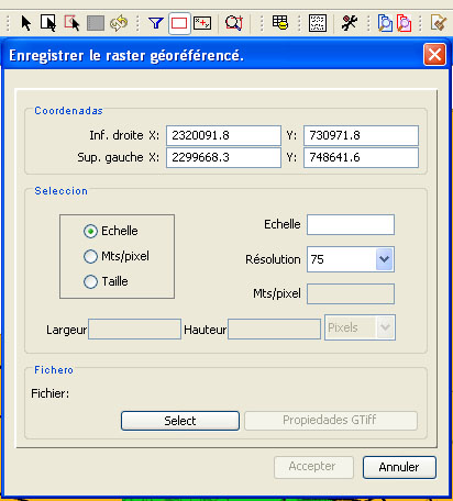
- 3_.jpg
- 412×456
- //23/02/2011 19:37//
- 69.2 KB
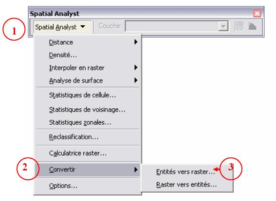
- 14.jpg
- 567×414
- //23/02/2011 19:37//
- 26.4 KB
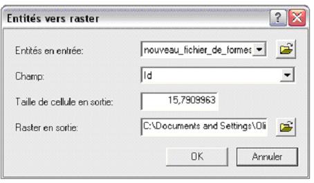
- 15.jpg
- 454×264
- //23/02/2011 19:37//
- 19.2 KB
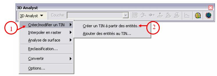
- 16.jpg
- 747×262
- //23/02/2011 19:37//
- 23.1 KB
- 17.jpg
- 565×425
- //23/02/2011 19:37//
- 36.2 KB
- 18.jpg
- 722×336
- //23/02/2011 19:37//
- 27 KB
- 19.jpg
- 462×292
- //23/02/2011 19:37//
- 24 KB
- 20.jpg
- 550×400
- //23/02/2011 19:37//
- 26.2 KB
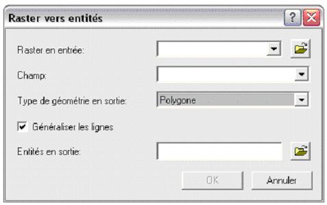
- 21.jpg
- 477×299
- //23/02/2011 19:37//
- 19 KB
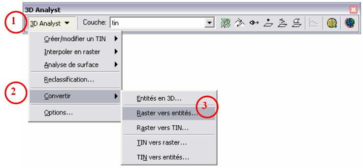
- 22.jpg
- 737×342
- //23/02/2011 19:37//
- 28.2 KB
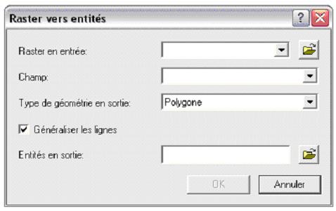
- 23.jpg
- 478×301
- //23/02/2011 19:37//
- 19.4 KB
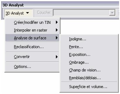
- 24.jpg
- 409×319
- //23/02/2011 19:37//
- 19.3 KB
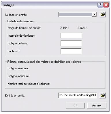
- 25.jpg
- 385×398
- //23/02/2011 19:37//
- 21.3 KB
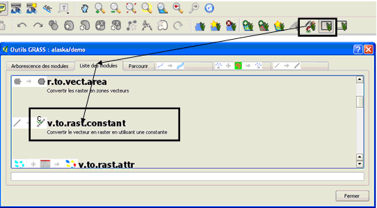
- bb.png
- 542×299
- //25/03/2011 19:01//
- 24.2 KB
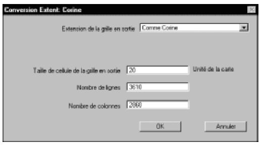
- boite_de_dialogue_rasterisation_av.jpg
- 519×288
- //23/02/2011 19:37//
- 13 KB
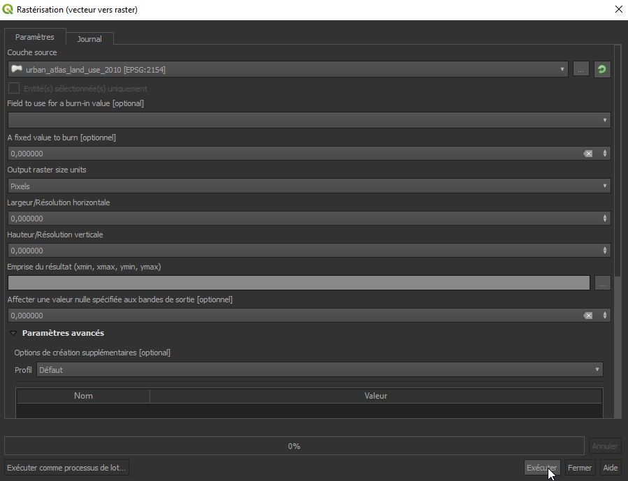
- fenetre_de_rasterisation.png
- 899×689
- //22/01/2020 11:59//
- 22.2 KB
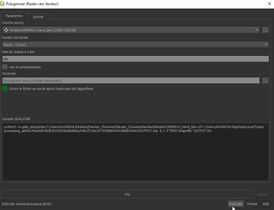
- fenetre_polygoniser.png
- 897×689
- //22/01/2020 12:08//
- 19.1 KB
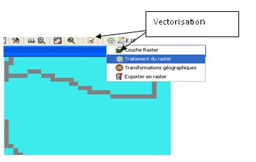
- gvsig_7.png
- 364×231
- //25/03/2011 17:36//
- 16.2 KB
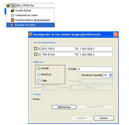
- gvsig6.png
- 425×411
- //25/03/2011 17:32//
- 47.9 KB

- icone_shp_to_grid.jpg
- 25×15
- //06/04/2011 19:25//
- 843 B
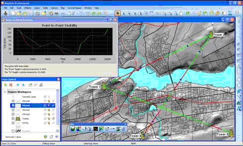
- imgmapinfo10.png
- 490×294
- //08/02/2012 21:37//
- 80.8 KB
- imgmapinfo11.png
- 490×353
- //08/02/2012 21:37//
- 88.1 KB
- imgmapinfo12.png
- 490×367
- //08/02/2012 21:38//
- 89.1 KB
- imgmapinfo13.png
- 490×454
- //08/02/2012 21:40//
- 140.5 KB
- imgmapinfo14.png
- 490×294
- //08/02/2012 21:40//
- 91.7 KB
- imgmapinfo15.png
- 490×306
- //08/02/2012 21:41//
- 84 KB
- imgmapinfo16.png
- 490×394
- //08/02/2012 21:39//
- 80.6 KB
- menu_images.png
- 403×180
- //23/02/2011 19:37//
- 3.6 KB
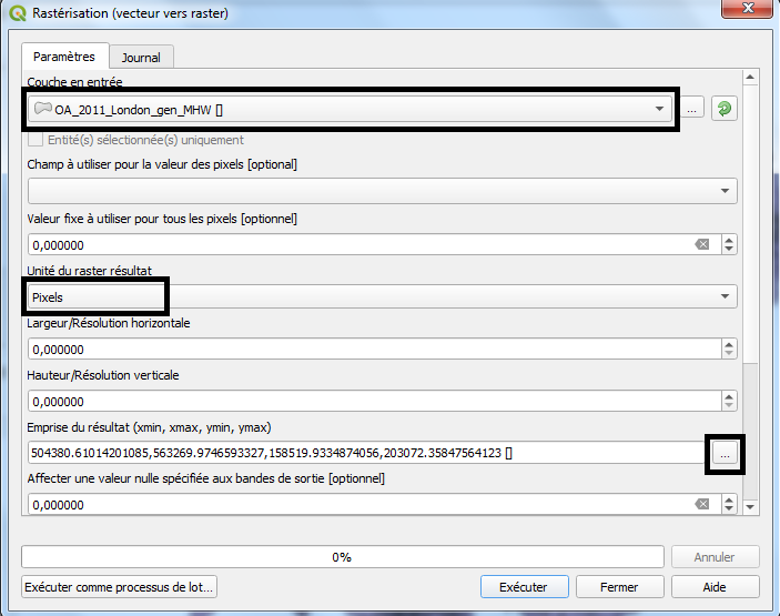
- raster_1.png
- 637×339
- //01/10/2020 19:43//
- 131.5 KB
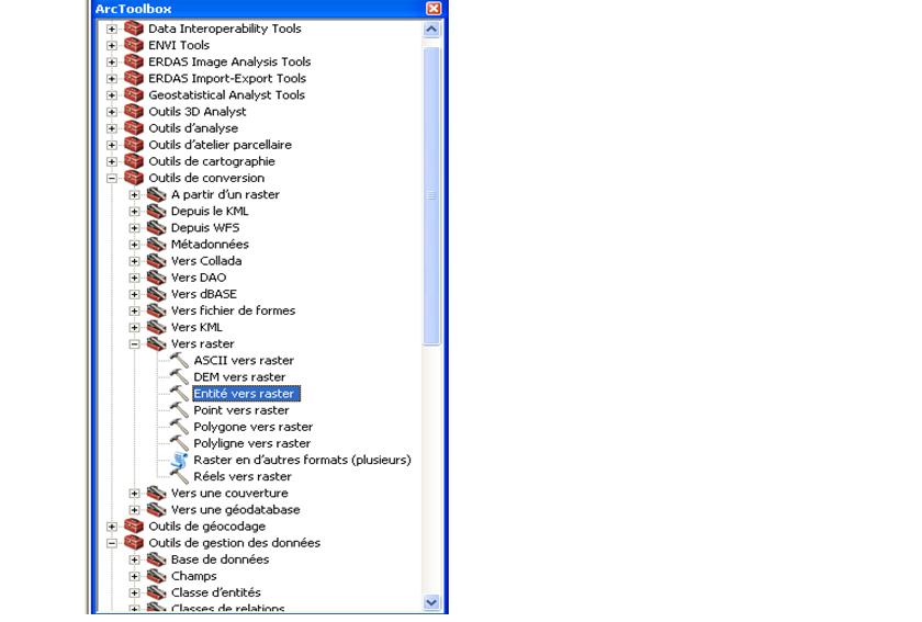
- raster_2.png
- 703×555
- //01/10/2020 19:43//
- 47.1 KB
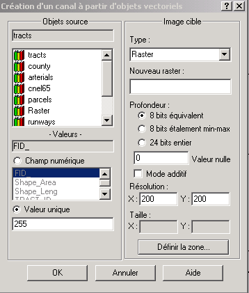
- rasterisation.jpg
- 840×567
- //10/02/2012 18:17//
- 48.3 KB
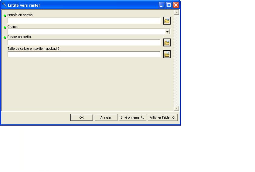
- rasterisation.png
- 358×421
- //23/02/2011 19:37//
- 9.5 KB
- rasterisation1.jpg
- 840×567
- //10/02/2012 18:23//
- 31.4 KB
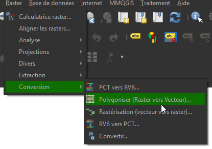
- rasterisation2.png
- 415×293
- //22/01/2020 11:58//
- 18.9 KB
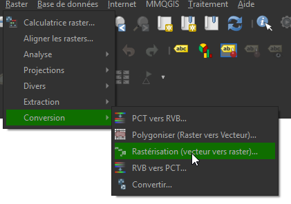
- rasterisation3.png
- 421×296
- //22/01/2020 11:57//
- 19.1 KB
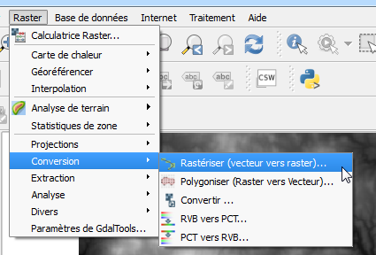
- rasterise1.png
- 425×288
- //25/01/2016 16:09//
- 34.8 KB
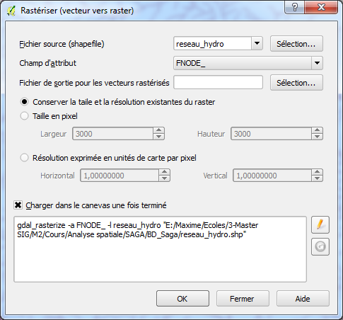
- rasterise2.png
- 485×452
- //25/01/2016 16:09//
- 46.6 KB
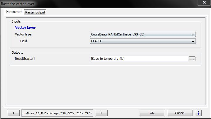
- rasterization_opj.png
- 719×406
- //26/12/2012 23:25//
- 99.2 KB
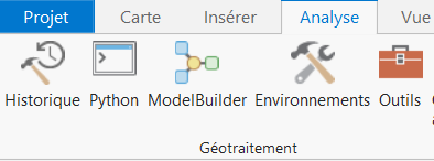
- rv1.png
- 394×146
- //04/03/2019 23:11//
- 13.5 KB
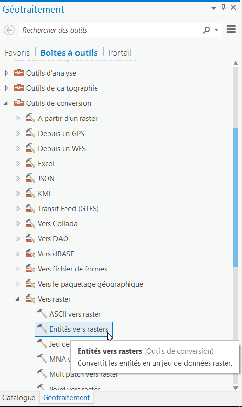
- rv2.png
- 499×838
- //04/03/2019 23:12//
- 45.1 KB
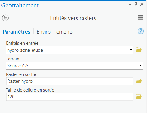
- rv3.png
- 497×384
- //04/03/2019 23:12//
- 16.1 KB
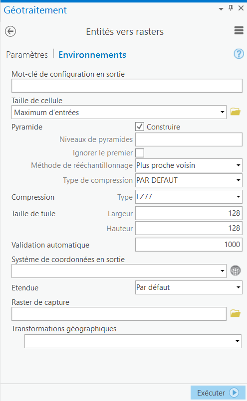
- rv4.png
- 495×805
- //04/03/2019 23:13//
- 37.1 KB
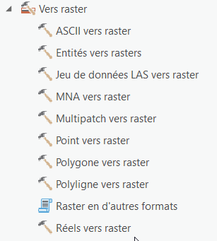
- rv5.png
- 307×341
- //04/03/2019 23:14//
- 12.4 KB
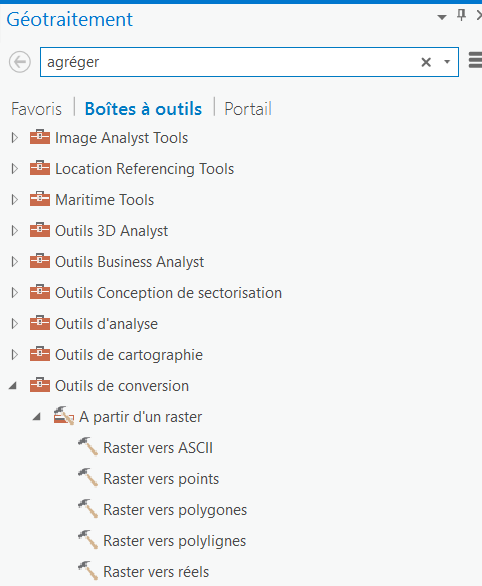
- rv6.png
- 482×586
- //04/03/2019 23:14//
- 25.9 KB
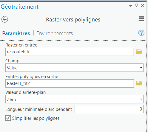
- rv7.png
- 496×443
- //04/03/2019 23:16//
- 20.4 KB
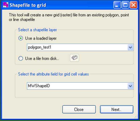
- shp_to_grid_mw.jpg
- 579×502
- //06/04/2011 19:23//
- 30.3 KB
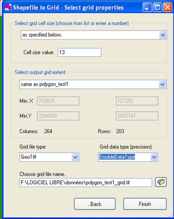
- shp_to_grid2_mw.jpg
- 574×724
- //06/04/2011 19:23//
- 44.5 KB
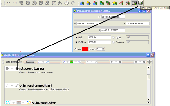
- ttttttt.png
- 544×338
- //25/03/2011 19:04//
- 26.1 KB
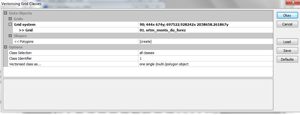
- vecto_saga.png
- 956×366
- //02/02/2013 16:14//
- 50.1 KB
- vectoris.png
- 1001×696
- //26/03/2011 10:45//
- 41.3 KB
- vectorisation.jpg
- 840×600
- //10/02/2012 18:41//
- 30.7 KB
- vectorisation.png
- 333×309
- //23/02/2011 19:37//
- 5.3 KB
- vectorisation1.jpg
- 840×600
- //10/02/2012 18:40//
- 56 KB
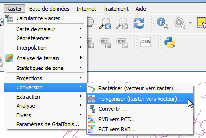
- vectoriser1.png
- 423×284
- //25/01/2016 16:10//
- 29.1 KB
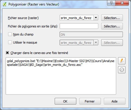
- vectoriser2.png
- 453×381
- //25/01/2016 16:10//
- 36.7 KB
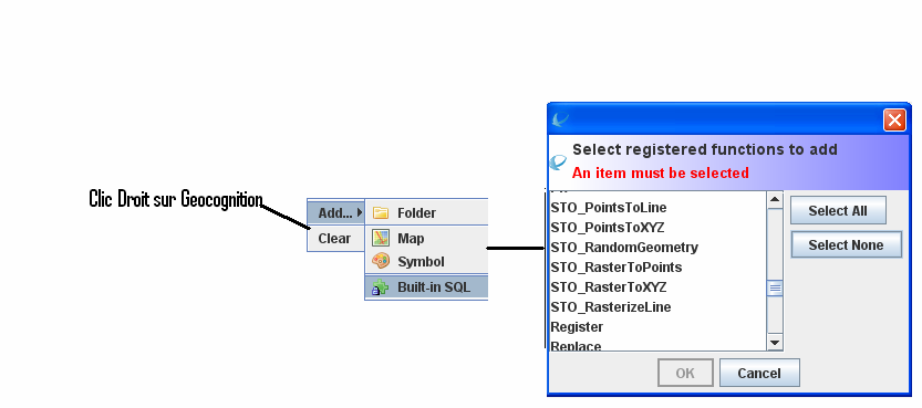
- vectorishhh.png
- 833×369
- //26/03/2011 10:46//
- 32.5 KB
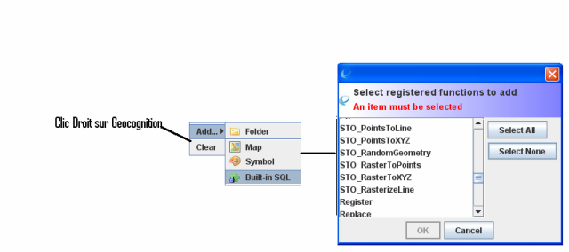
- vectorishhhjuj.png
- 640×284
- //26/03/2011 10:47//
- 38.1 KB
Fichier
- Voir
- Historique
fonctions/structuration/gestion/arcgis.txt · Dernière modification : //23/02/2011 19:47// de 127.0.0.1


